Station 8 Kirchmöser Mühlenberg, semaphore tower and destroyed building or structure in Brandenburg an der Havel in Germany and Kingdom of Prussia
Location: Brandenburg an der Havel
Inception: 1832
Part of: Prussian semaphore system, list of stations of the Prussian optical telegraph
GPS coordinates: 52.37119,12.42049
Latest update: November 23, 2025 17:53
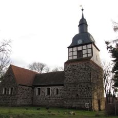
Dorfkirche Wusterwitz
2.5 km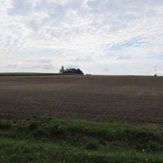
Mühlen-Berg
299 m
Gränert
2.6 km
Buhnenwerder-Wusterau
3.7 km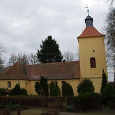
Dorfkirche
608 m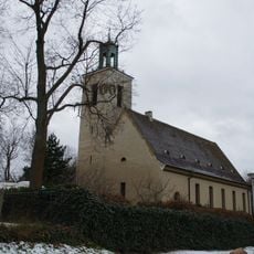
Westkirche
3.1 km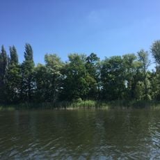
Brandenburger Wald- und Seengebiet
3.2 km
Zolchberge
1.3 km
Gränert
2.9 km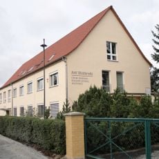
August-Bebel-Straße 10
3.8 km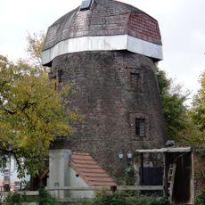
Windmill Wusterwitz, Warchauer Straße
2.9 km
Hauptstraße 31
2.4 km
Hauptstraße 56
2.5 km
Büngersche Anstalten
3.1 km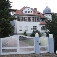
Ernst-Thälmann-Straße 7
3.3 km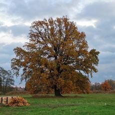
Naturdenkmal Eiche Wusterwitz
2.9 km
Hauptstraße 71
2.5 km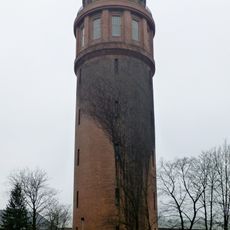
Kirchmöser Water Tower
2.5 km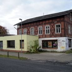
Ernst-Thälmann-Straße 2
3.4 km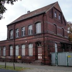
Ernst-Thälmann-Straße 4
3.4 km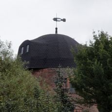
Windmill Wusterwitz, Mahlenziener Straße
2.4 km
Museumslokomotive
2.9 km
Markhor
3.8 km
Bär
3.7 km
Malge Marina & Camping
3.5 km
Aussichtsturm Mühlenberg
3 m
Kriegerdenkmal
602 m
Memorial
2.5 kmReviews
Visited this place? Tap the stars to rate it and share your experience / photos with the community! Try now! You can cancel it anytime.
Discover hidden gems everywhere you go!
From secret cafés to breathtaking viewpoints, skip the crowded tourist spots and find places that match your style. Our app makes it easy with voice search, smart filtering, route optimization, and insider tips from travelers worldwide. Download now for the complete mobile experience.

A unique approach to discovering new places❞
— Le Figaro
All the places worth exploring❞
— France Info
A tailor-made excursion in just a few clicks❞
— 20 Minutes