
Pegel Andernach
Location: Andernach
Website: https://hochwasser.rlp.de/flussgebiet/mittelrhein/andernach
Address: Kölner Str. 12, 56626 Andernach, Germany 56626 Andernach
Website: https://hochwasser.rlp.de/flussgebiet/mittelrhein/andernach
GPS coordinates: 50.44383,7.39097
Latest update: November 14, 2025 18:27
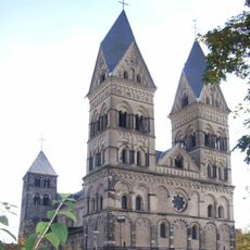
Liebfrauenkirche in Andernach
616 m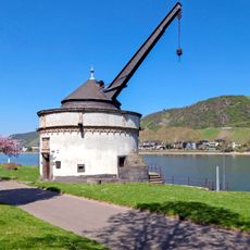
Alter Krahnen
82 m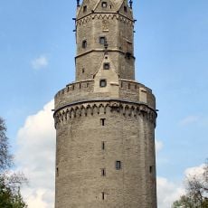
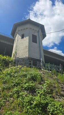
Round Tower
510 m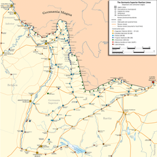
Castrum Antunnacum
622 m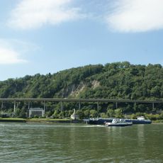
Krahnenbergbrücke
92 m
Rheintor
777 m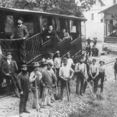
Krahnenbergbahn
318 m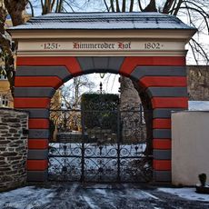
Himmeroder Hof
733 m
Leutesdorfer Dorfmuseum
778 m
Scenic viewpoint
799 m
High water mark
79 m
Weinsicht
566 m
Scenic viewpoint
501 m
Krahnenberg
167 m
MS Fanziska
608 m
Scenic viewpoint
189 m
Stele, memorial
282 m
Stele, memorial
282 m
Historisches Rathaus
793 m
Wayside shrine
710 m
Wayside cross
787 m
Römisches Thermalbad
635 m
Kölnpforte
554 m
Schwarzes Kreuz
803 m
Memorial stone, memorial
251 m
Clara Mayer geb. Mayer
678 m
Wayside cross
357 m
Christianity, Catholic church building, wayside cross
601 mReviews
Visited this place? Tap the stars to rate it and share your experience / photos with the community! Try now! You can cancel it anytime.
Discover hidden gems everywhere you go!
From secret cafés to breathtaking viewpoints, skip the crowded tourist spots and find places that match your style. Our app makes it easy with voice search, smart filtering, route optimization, and insider tips from travelers worldwide. Download now for the complete mobile experience.

A unique approach to discovering new places❞
— Le Figaro
All the places worth exploring❞
— France Info
A tailor-made excursion in just a few clicks❞
— 20 Minutes