
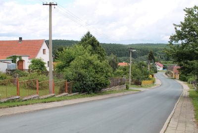
Ořechov, village in Jihlava District of Vysočina region
Location: Jihlava District
Location: správní obvod obce s rozšířenou působností Telč
Elevation above the sea: 635 m
Shares border with: Dyjice, Olšany, Urbanov, Žatec
Email: obec.orechov@volny.cz
Website: http://orechovutelce.cz
GPS coordinates: 49.19998,15.53198
Latest update: April 25, 2025 18:19
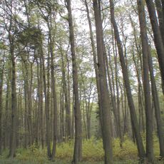
Jechovec
4.1 km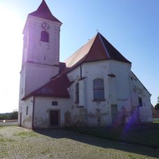
Church of Saint John the Baptist in Urbanov
2.2 km
Výklenková kaplička - poklona
3.8 km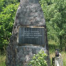
Memorial of Adolf Opálka
375 m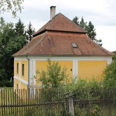
Forester's lodge in Rozsíčky
3.1 km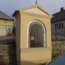
Chapel of Saint John of Nepomuk
4 km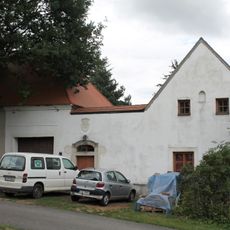
Usedlost čp. 4
2.7 km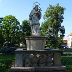
Socha svatého Jana Nepomuckého
2.1 km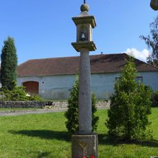
Boží muka
2.8 km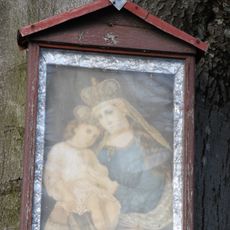
Rural holy picture near Olšany
4.5 km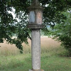
Boží muka
601 m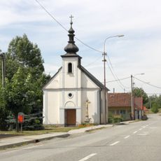
Chapel of the Sacred Heart
2.9 km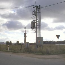
Boží muka
3.1 km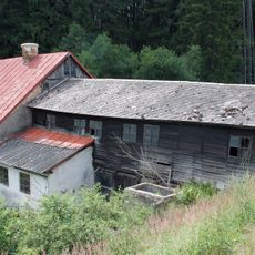
Pilka water sawmill
1.8 km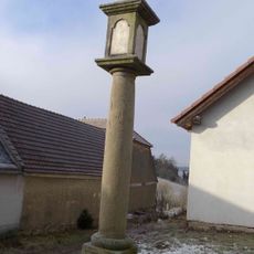
Boží muka
4 km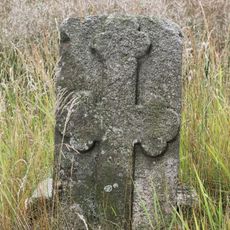
Pamětní kámen
3.3 km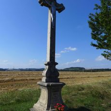
Krucifix
3.4 km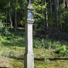
Boží muka
2.4 km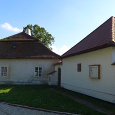
Fara
2.1 km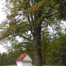
Skupina 2 stromů
3.8 km
Chapel of Saint John of Nepomuk
3.3 km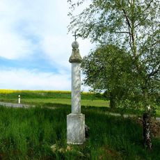
Boží muka
4.5 km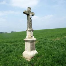
Kříž u silnice mezi Telčí a Mysliboří
4.1 km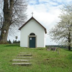
Skupina 3 stromů v Nepomukách
3.3 km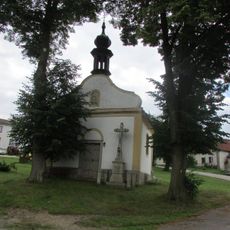
Kaple Panny Marie v Dyjicích
4 km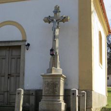
Kříž před kaplí v Dyjicích
4 km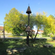
Zvonička v Nevcehlích
2.8 km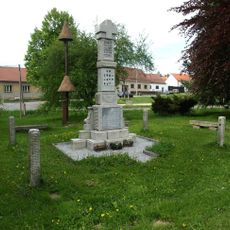
Pomník padlým v Nevcehli
2.8 kmReviews
Visited this place? Tap the stars to rate it and share your experience / photos with the community! Try now! You can cancel it anytime.
Discover hidden gems everywhere you go!
From secret cafés to breathtaking viewpoints, skip the crowded tourist spots and find places that match your style. Our app makes it easy with voice search, smart filtering, route optimization, and insider tips from travelers worldwide. Download now for the complete mobile experience.

A unique approach to discovering new places❞
— Le Figaro
All the places worth exploring❞
— France Info
A tailor-made excursion in just a few clicks❞
— 20 Minutes