
Biskupice, village in Prostějov District of Olomouc region
Location: Prostějov District
Location: Prostějov (klein district)
Elevation above the sea: 207 m
Shares border with: Hrdibořice, Kralice na Hané, Klopotovice, Hrubčice, Dub nad Moravou, Věrovany
Email: ou.biskupice@volny.cz
Website: http://obecbiskupice.cz
GPS coordinates: 49.45969,17.23662
Latest update: April 3, 2025 06:17
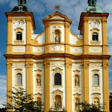
Church of the Purification of Mary
3.8 km
Tučapská skalka
3.6 km
Battlefield in Tovačov
3 km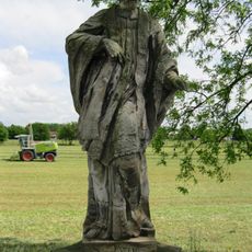
Socha svatého Iva
3.3 km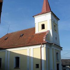
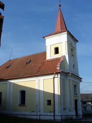
Church of Saint Margaret
214 m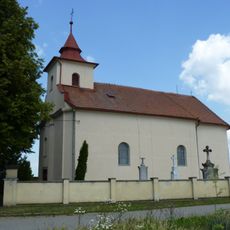
Church of Saint Urban (Hrubčice)
2.9 km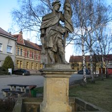
Statue of Saint Florian in Hrubčice
3.3 km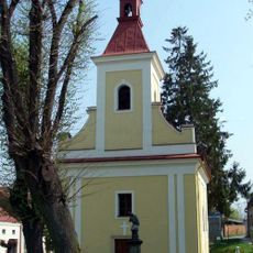
Chapel of Saint John of Nepomuk
1.8 km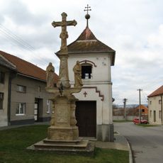
Calvary cross in Vítonice
3.9 km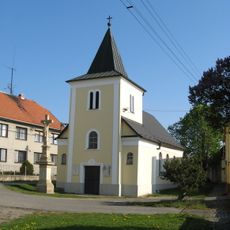
Chapel of Saint Florian
2.5 km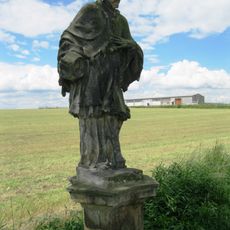
Socha svatého Jana Nepomuckého
3.3 km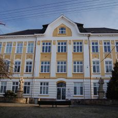
Sochy před školou
4.2 km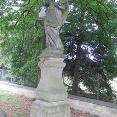
Socha anděla
3.7 km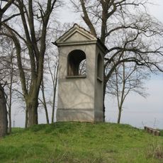
Column shrine in Kralice na Hané
4 km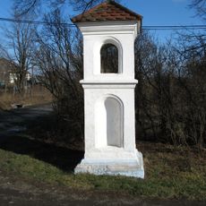
Column shrine in Vítonice
3.7 km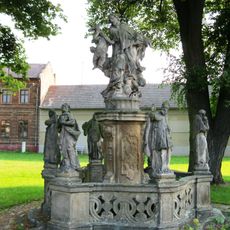
Sculptural group of Saint John of Nepomuk in Dub nad Moravou
4 km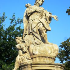
Sculptural group of Saint Florian in Dub nad Moravou
3.9 km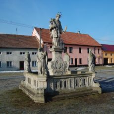
Statue of John of Nepomuk in Kralice na Hané
4.2 km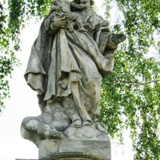
Sousoší svatého Josefa u Dubu nad Moravou
3.7 km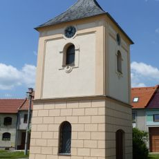
Bell tower in Hrubčice
3.4 km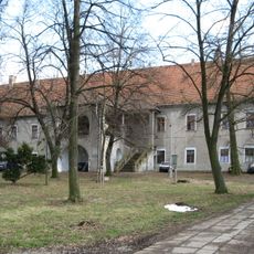
Hrubčice Castle
3.5 km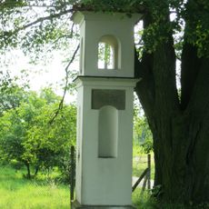
Boží muka
4 km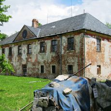
Zámek Nenakonice
3.8 km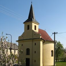
Chapel of Saint Florian
4.5 km
Dům čp. 198
3.8 km
Hrdibořické rybníky
2.9 km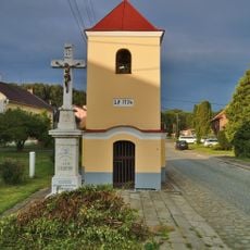
Chapel of Saint John of Nepomuk
3.8 km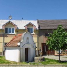
Kaplička svaté Markéty v Dubu nad Moravou
3.8 kmVisited this place? Tap the stars to rate it and share your experience / photos with the community! Try now! You can cancel it anytime.
Discover hidden gems everywhere you go!
From secret cafés to breathtaking viewpoints, skip the crowded tourist spots and find places that match your style. Our app makes it easy with voice search, smart filtering, route optimization, and insider tips from travelers worldwide. Download now for the complete mobile experience.

A unique approach to discovering new places❞
— Le Figaro
All the places worth exploring❞
— France Info
A tailor-made excursion in just a few clicks❞
— 20 Minutes