
Křišťanov, village in Prachatice District of South Bohemian region
Location: Prachatice District
Location: správní obvod obce s rozšířenou působností Prachatice
Elevation above the sea: 925 m
Shares border with: Ktiš, Chroboly, Zbytiny, VVP Boletice
Email: obec@kristanov.com
Website: http://kristanov.com
GPS coordinates: 48.90922,14.02004
Latest update: March 3, 2025 15:37
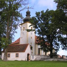
Church of the Nativity of the Virgin Mary
6.5 km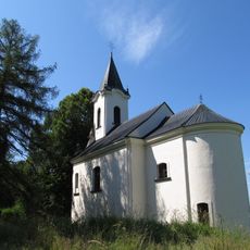
Church of Saint Mary Magdalene
4.8 km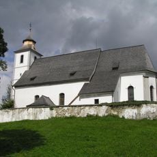
Church of Saint Vitus
4.8 km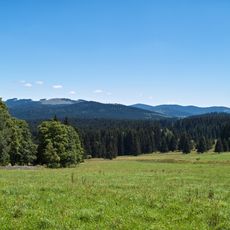
Želnavská hornatina
6.6 km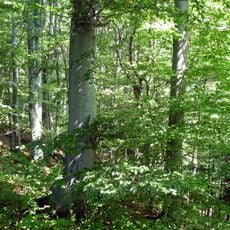
Tisy u Chrobol
6.5 km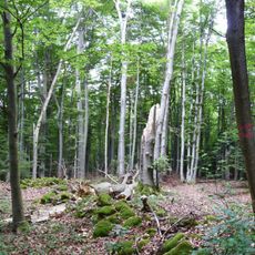
Polučí
2.5 km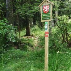
Miletínky (nature reserve)
4.5 km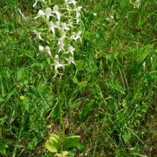
Pod Farským lesem
806 m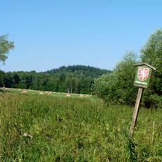
Pod Ostrou Horou
6.8 km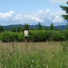
Vyšný - Křišťanov
2 km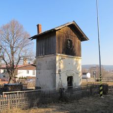
Railway water tower in Zbytiny
4.4 km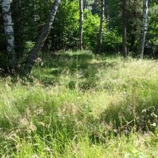
Pod Sviňovicemi
5.7 km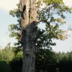
Klen u Svaté Magdalény
4.9 km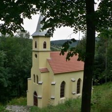
Chapel of Our Lady of Lourdes
6.7 km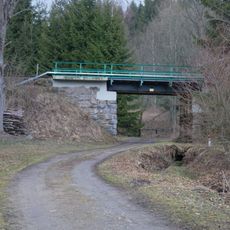
Železniční most ve Skříněřově
4.2 km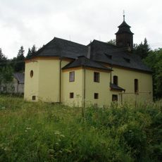
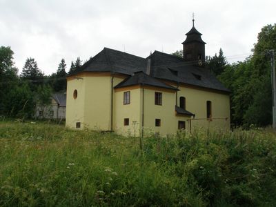
Church of the Holy Name of Jesus
68 m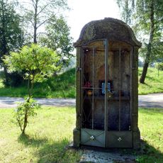
Výklenková kaplička
6.2 km
Socha svatého Jana Nepomuckého
6.4 km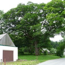
Javor klen
150 m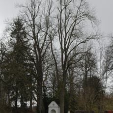
Jasan ztepilý
4.2 km
Lípa srdčitá
625 m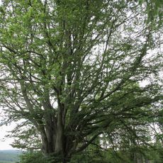
Spálenecký buk
3.6 km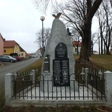
World War I memorial in Chroboly
6.4 km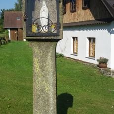
Column shrine
4.9 km
Výklenková kaple v Blažejovicích proti č.p. 29
6.8 km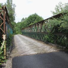
Silniční most přes Blanici u stanice Spálenec
4.2 km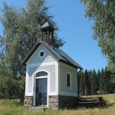
Chapel in Spálenec
3.9 km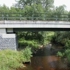
Železniční most přes Blanici u stanice Spálenec
4.2 kmReviews
Visited this place? Tap the stars to rate it and share your experience / photos with the community! Try now! You can cancel it anytime.


Discover hidden gems everywhere you go!
From secret cafés to breathtaking viewpoints, skip the crowded tourist spots and find places that match your style. Our app makes it easy with voice search, smart filtering, route optimization, and insider tips from travelers worldwide. Download now for the complete mobile experience.

A unique approach to discovering new places❞
— Le Figaro
All the places worth exploring❞
— France Info
A tailor-made excursion in just a few clicks❞
— 20 Minutes