
Olšovice, village in Prachatice District of South Bohemian region
Location: Prachatice District
Location: správní obvod obce s rozšířenou působností Prachatice
Elevation above the sea: 438 m
Shares border with: Malovice, Mahouš, Sedlec, Hlavatce, Netolice
Email: obec.olsovice@tiscali.cz
Website: http://olsovice.cz
GPS coordinates: 49.05690,14.23588
Latest update: March 5, 2025 04:40
Netolice
2.5 km
Poděhusy Castle
1.1 km
Hrušeň v Olšovicích
232 m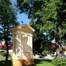
Chapel of Saint Wenceslaus
2.4 km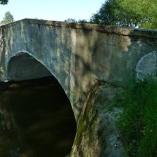
Stone bridge near Lékařova Lhota
2.9 km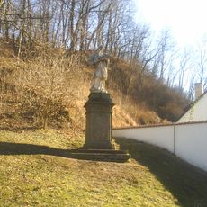
Socha svatého Jana Nepomuckého
2.7 km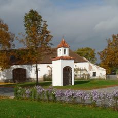
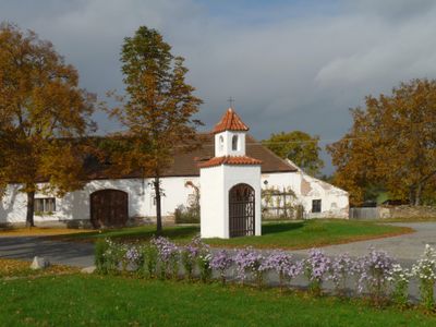
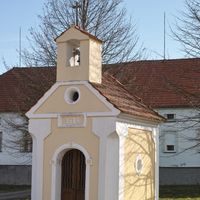
Chapel in Olšovice
14 m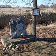
Aircraft accident memorial
2.6 km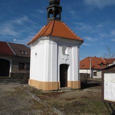
Chapel of the Virgin Mary of the Rosary
1.6 km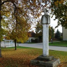
Boží muka
1.6 km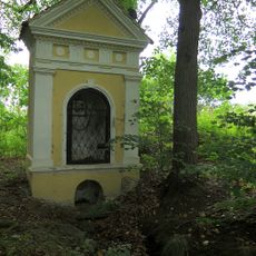
Chapel of Saint John of Nepomuk
2.3 km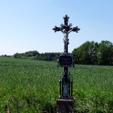
Kříž u cesty na Olšovice
1.7 km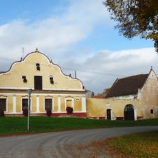
Usedlost čp. 26
1.7 km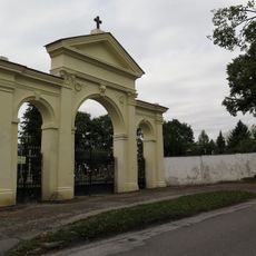
Ohradní zeď a brána hřbitova v Netolicích
2.7 km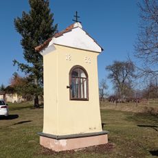
Chapel
3.2 km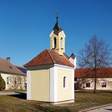
Village chapel
3.1 km
Wayside cross
2.5 km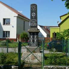
Pomník padlých
2.4 km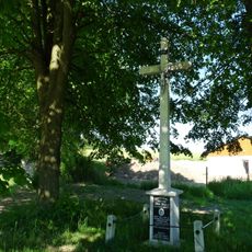
Kříž na křižovatce na východním okraji vesnice
3.2 km
Wayside cross
3.1 km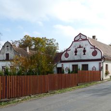
Usedlost čp. 28
199 m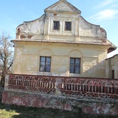
Usedlost čp. 16
1.7 km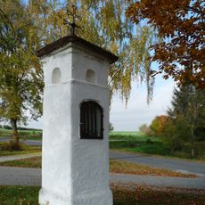
Boží muka
220 m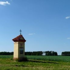
Kaplička
1.9 km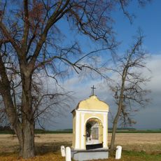
Výklenková kaplička
2.6 km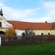
Kovárna
1.8 km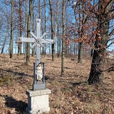
Wayside cross
3 km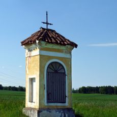
Kaplička u cesty na Olšovice
2.1 kmVisited this place? Tap the stars to rate it and share your experience / photos with the community! Try now! You can cancel it anytime.

Discover hidden gems everywhere you go!
From secret cafés to breathtaking viewpoints, skip the crowded tourist spots and find places that match your style. Our app makes it easy with voice search, smart filtering, route optimization, and insider tips from travelers worldwide. Download now for the complete mobile experience.

A unique approach to discovering new places❞
— Le Figaro
All the places worth exploring❞
— France Info
A tailor-made excursion in just a few clicks❞
— 20 Minutes