
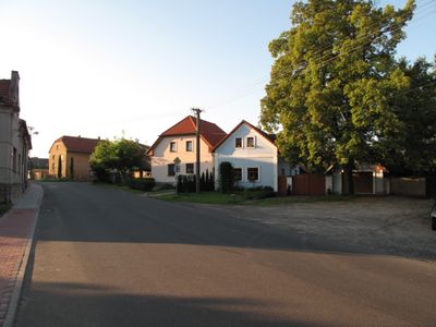
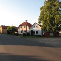
Klučov, village in Kolín District of Central Bohemian region
Location: Kolín District
Location: Чэскі-Брод
Elevation above the sea: 207 m
Shares border with: Chrást, Chrášťany, Chotutice, Poříčany, Český Brod, Tatce, Hořany, Kounice
Email: obecni.urad@klucov.cz
Website: http://klucov.cz
GPS coordinates: 50.09508,14.91014
Latest update: March 7, 2025 03:59
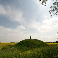
Mohyla v Chotouni
4.9 km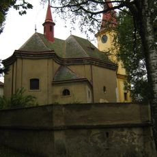
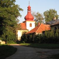
Saint Procopius church in Chotouň
4.6 km
Klučov
352 m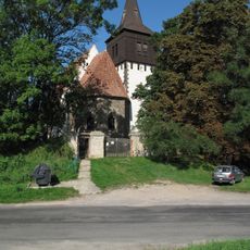
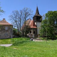
Church of the Beheading of Saint John the Baptist (Skramníky)
3.7 km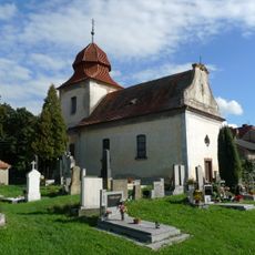
Saint Bartholomew Church in Bylany
3.5 km
Bylanská pahorkatina
3.6 km
Milčice
5.3 km
Church of the Nativity of the Virgin Mary
1.2 km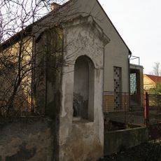
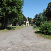
Chapel of Saint John of Nepomuk
4.8 km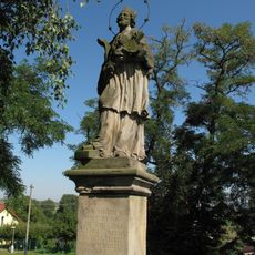
Socha svatého Jana Nepomuckého
3.7 km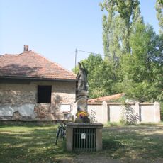
Socha svatého Prokopa
4.6 km
Krucifix
3.6 km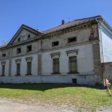
Kamenná deska s erbem na domě čp. 2
2.6 km
Church of the Assumption
1.7 km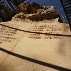
World war I memorial in Poříčany
1.4 km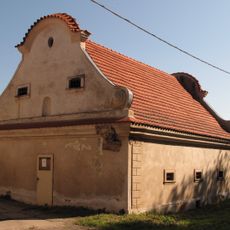
Barokní sýpka
4.7 km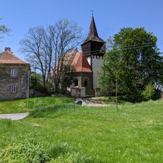
Skramníky
3.8 km
Průčelí usedlosti čp. 23
1.6 km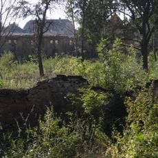
Tvrziště Na valech
186 m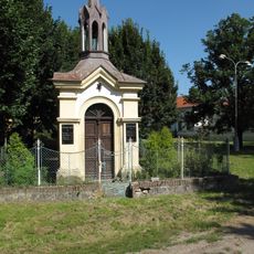
Chapel of Saint Wenceslaus
2.6 km
Cross in Liblice
2.8 km
Tatecká lípa republiky
4.7 km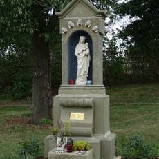
Chapel-shrine of the Virgin Mary in Liblice
3 km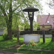
Krytá dřevěná zvonička ve středu obce Klučov
84 m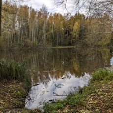
Milčice
5.3 km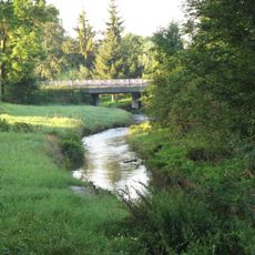
Most přes Šemberu v Klučově
98 m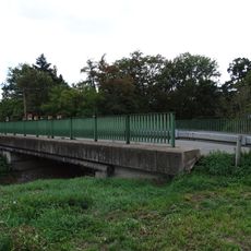
Bridge of road III/3301 over the Šembera in Liblice
3 km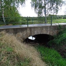
Bridge of road III/3303 over the Jalový potok
3.3 kmReviews
Visited this place? Tap the stars to rate it and share your experience / photos with the community! Try now! You can cancel it anytime.
Discover hidden gems everywhere you go!
From secret cafés to breathtaking viewpoints, skip the crowded tourist spots and find places that match your style. Our app makes it easy with voice search, smart filtering, route optimization, and insider tips from travelers worldwide. Download now for the complete mobile experience.

A unique approach to discovering new places❞
— Le Figaro
All the places worth exploring❞
— France Info
A tailor-made excursion in just a few clicks❞
— 20 Minutes