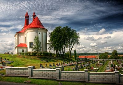
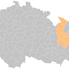
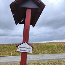
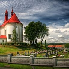
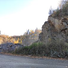
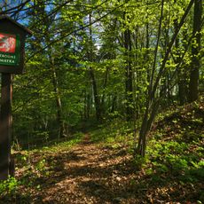
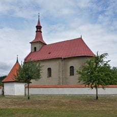
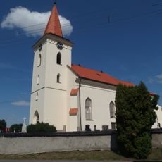
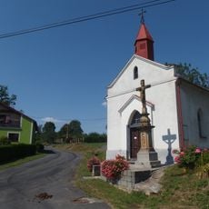
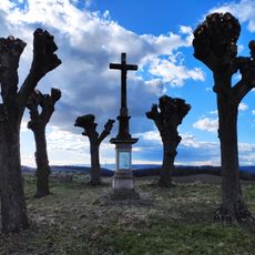
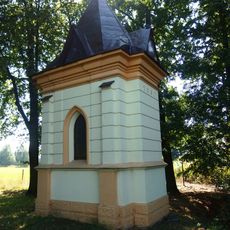
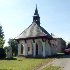
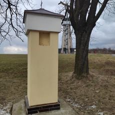
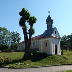
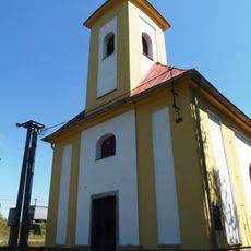
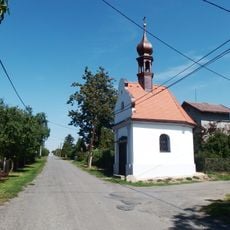
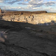
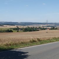
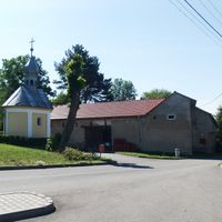
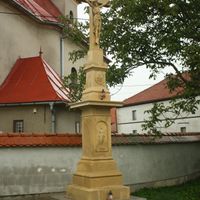
Bělotín, village in Přerov District of Olomouc region
Location: Přerov District
Location: Hranice (klein district)
Elevation above the sea: 297 m
Shares border with: Polom, Jindřichov, Vražné, Odry, Jeseník nad Odrou, Špičky, Střítež nad Ludinou, Černotín, Hranice
Email: oubelotin@zeal.cz
Website: http://belotin.cz
GPS coordinates: 49.59120,17.80657
Latest update: April 16, 2025 10:56
Sculpture of drainage divide Black-Baltic sea in Bělotín
2.7 km
Observation Tower Blahutovice
5.2 km
Zvonice
6.5 km
Hraběnčina vyhlídka
3.7 km
Birthplace of Gregor Mendel
3.8 km
Hranice (klein district)
4.9 km
Veselská rozhledna
5.8 km
Františkova cesta
4.8 km
Church of Saint George
446 m
Kamenolom Nejdek
3.6 km
Nad kostelíčkem
5.6 km
Kostel svatého Urbana
2.8 km
Lípa porozumění
5.1 km
V oboře
4.7 km
Čočkův mlýn
5.2 km
Church of Saints Simon and Jude
4.4 km
Socha svatého Jana Nepomuckého
6.1 km
Church of the Nativity of the Virgin Mary
5.7 km
Church of Holy Trinity
5.3 km
Chapel of Our Lady of Sorrows
5.3 km
Wayside cross by the road to Kunčice (Špičky)
4.1 km
Chapel of Our Lady of Lourdes
4.1 km
Chapel of the Visitation
4.5 km
Boží muka Blahutovice
5.1 km
Chapel of Saint George
1.9 km
Chapel of Saint Catherine
2.8 km
Chapel of Saint Wenceslaus
5.7 km
Quarry in Hranice
5.2 kmReviews
Visited this place? Tap the stars to rate it and share your experience / photos with the community! Try now! You can cancel it anytime.
Discover hidden gems everywhere you go!
From secret cafés to breathtaking viewpoints, skip the crowded tourist spots and find places that match your style. Our app makes it easy with voice search, smart filtering, route optimization, and insider tips from travelers worldwide. Download now for the complete mobile experience.
A unique approach to discovering new places❞
— Le Figaro
All the places worth exploring❞
— France Info
A tailor-made excursion in just a few clicks❞
— 20 Minutes