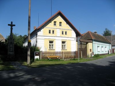
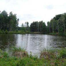
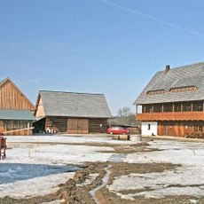
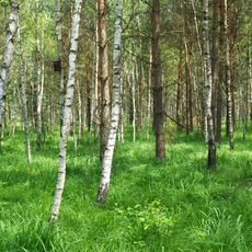
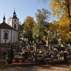
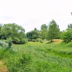
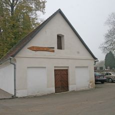
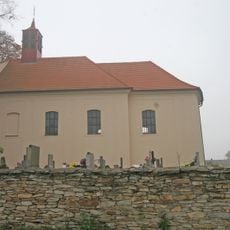
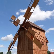
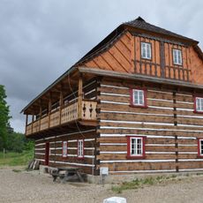
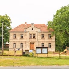
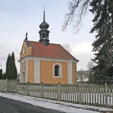
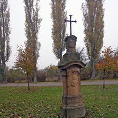
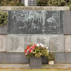
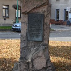
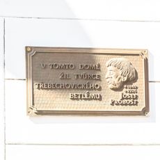
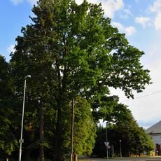
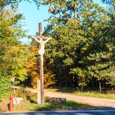
Běleč nad Orlicí, municipality of the Czech Republic
Location: Hradec Králové District
Location: Градец-Кралове
Elevation above the sea: 240 m
Shares border with: Hradec Králové, Blešno, Třebechovice pod Orebem, Týniště nad Orlicí, Býšť
Email: belec@wo.cz
Website: http://belec.trebechovicko.cz
GPS coordinates: 50.19802,15.94277
Latest update: March 15, 2025 06:26
Bělečský písník
565 m
Open-air museum in Krňovice
2.9 km
Mazurovy chalupy
4.2 km
Běleč – střelnice
2.8 km
Kostel Božího těla na Orebu
3.4 km
Smírčí kámen s vytesaným křížkem
1.7 km
PP Orlice
925 m
Lednice
2.7 km
Church of the Assumption of the Virgin Mary
2.7 km
Windmill
2.9 km
PP Na bahně
1.2 km
Bělečský mlýn
2.9 km
Evangelická základní škola
59 m
Chapel of the Assumption
5 km
Běleč nad Orlicí 34
318 m
Krucifix
3.5 km
Památník Orebitů
3.5 km
Pomník rudoarmejce in Třebechovice pod Orebem
3.5 km
Bust of Jan Theobald Held
3.1 km
Pomník padlých v I. světové válce
3.5 km
Pomník legionářů
3.2 km
Pomník bratrstva orebského a sirotčího
3.6 km
Běleč – střelnice
2.8 km
Dub ve Štěnkově
4.2 km
Dub letní
70 m
Plaketa Josefa Probošta
3.5 km
Žižkův dub
50 m
Kříž jihovýchodně od Bělče nad Orlicí
2.6 kmReviews
Visited this place? Tap the stars to rate it and share your experience / photos with the community! Try now! You can cancel it anytime.
Discover hidden gems everywhere you go!
From secret cafés to breathtaking viewpoints, skip the crowded tourist spots and find places that match your style. Our app makes it easy with voice search, smart filtering, route optimization, and insider tips from travelers worldwide. Download now for the complete mobile experience.
A unique approach to discovering new places❞
— Le Figaro
All the places worth exploring❞
— France Info
A tailor-made excursion in just a few clicks❞
— 20 Minutes