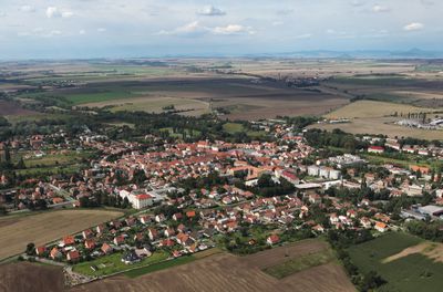
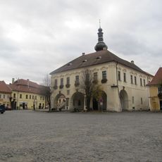
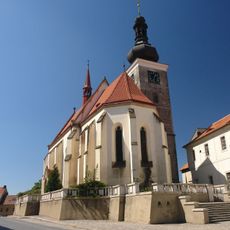
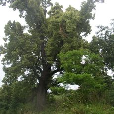
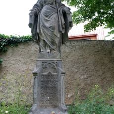
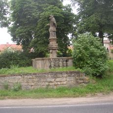
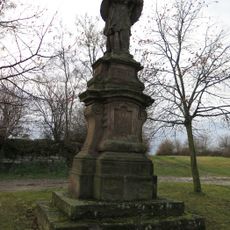
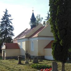
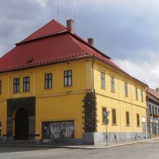
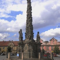
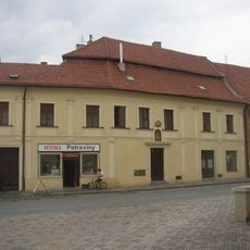
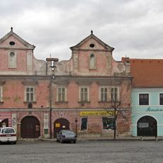
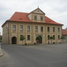
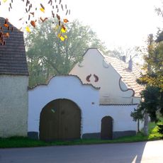
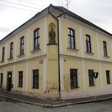
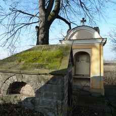
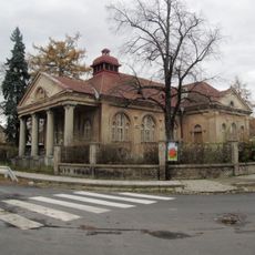
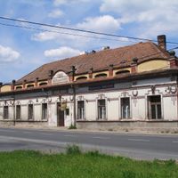
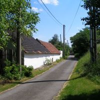
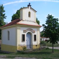
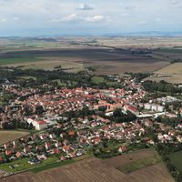
Velvary, town in the Czech Republic
Location: Kladno District
Location: správní obvod obce s rozšířenou působností Slaný
Elevation above the sea: 188 m
Shares border with: Olovnice, Nelahozeves, Kralupy nad Vltavou, Chržín, Uhy, Černuc, Neuměřice, Hobšovice, Kamenný Most, Žižice
Email: el.podatelna@velvary.cz
Website: http://velvary.cz
GPS coordinates: 50.28160,14.23624
Latest update: April 8, 2025 05:12
Town hall in Velvary
83 m
Saint Catherine of Alexandria Church (Velvary)
112 m
Lípa u Horova mlýna
1.4 km
Former synagogue in Velvary
394 m
Pod Šibenicí
1.4 km
Malovarský topol
817 m
City museum in Velvary
91 m
Church of Saint Barbara (Nabdín)
2.4 km
Socha Panny Marie Bolestné
282 m
Statue of John of Nepomuk in Velvary
492 m
Pražská brána
265 m
Statue of John of Nepomuk in Černuc
3.1 km
Church of Saint George
530 m
Socha svatého Jana Nepomuckého
3.8 km
All Saints Church
659 m
Městský dům Reduta
14 m
Maria column in Velvary
45 m
Chapel of Virgin Mary
3.3 km
Měšťanský dům
100 m
Měšťanský dům
96 m
Měšťanský dům
114 m
Boží muka
2.8 km
Hospoda Panská
134 m
Usedlost čp. 12
2.5 km
Deanery in Velvary
145 m
Kaple Nejsvětější Trojice se studánkou Svěcenky
1.4 km
Methodist church in Velvary
304 m
Chapel of Saint Wenceslaus
3.7 kmReviews
Visited this place? Tap the stars to rate it and share your experience / photos with the community! Try now! You can cancel it anytime.
Discover hidden gems everywhere you go!
From secret cafés to breathtaking viewpoints, skip the crowded tourist spots and find places that match your style. Our app makes it easy with voice search, smart filtering, route optimization, and insider tips from travelers worldwide. Download now for the complete mobile experience.
A unique approach to discovering new places❞
— Le Figaro
All the places worth exploring❞
— France Info
A tailor-made excursion in just a few clicks❞
— 20 Minutes