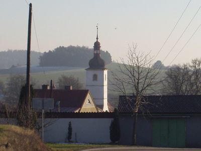
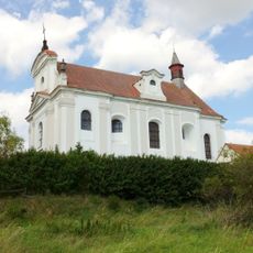
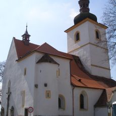
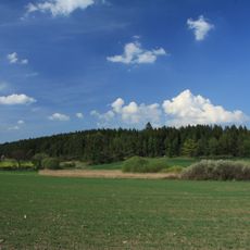
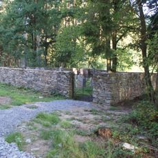
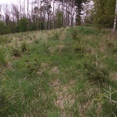
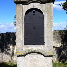
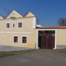
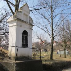
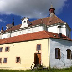
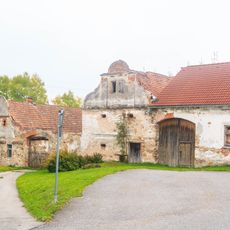
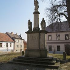
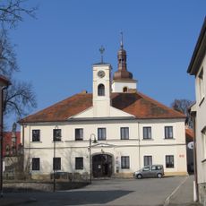
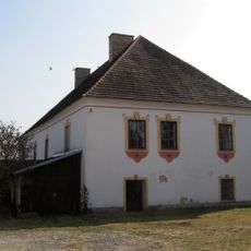
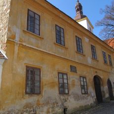
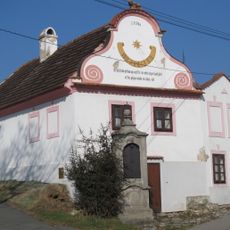
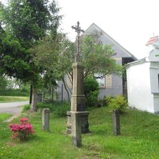
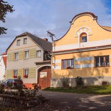
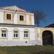
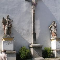
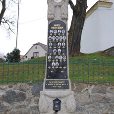
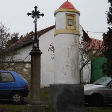
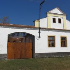
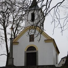
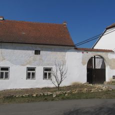
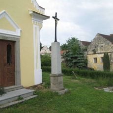
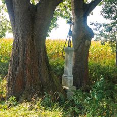
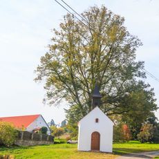
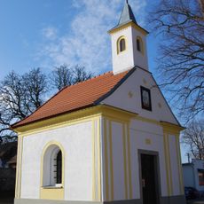
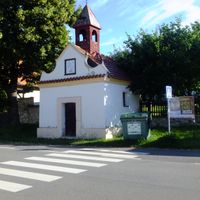
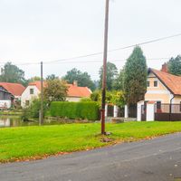
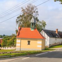
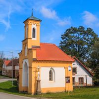
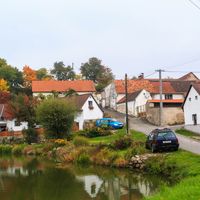
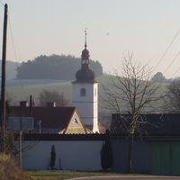
Radomyšl, městys in South Bohemian, Czech Republic
Location: Strakonice District
Location: SO ORP Strakonice
Elevation above the sea: 455 m
Shares border with: Sedlice, Osek, Velká Turná, Lažany, Droužetice, Chrášťovice, Blatná, Rovná, Řepice
Email: obecradomysl@post.cz
Website: http://radomysl.net
GPS coordinates: 49.31643,13.93027
Latest update: March 20, 2025 11:45
Church of Saint John the Baptist
871 m
Church of Saint Martin
135 m
Sedlina
2.2 km
Jewish cemetery in Osek
1.7 km
Hradec u Řepice
3.1 km
Stations of the Cross in Radomyšl
798 m
Watermill in Velká Turná
3.4 km
Boží muka
386 m
Venkovská usedlost-poustevna
885 m
Venkovská usedlost
3.7 km
Maria column in Radomyšl
128 m
Radnice
127 m
Děkanství
193 m
Měšťanský dům
134 m
House No. 62
257 m
Kříž severně od Černíkova
2.8 km
Usedlost čp. 39
3.2 km
Usedlost čp. 22
3.4 km
Calvary in Radomyšl
142 m
Pomník padlým v Chrášťovicích
3.2 km
Boží muka v Chrášťovicích
2.9 km
Usedlost čp. 54
3.4 km
Chapel of Virgin Mary
3.2 km
Granary
3.4 km
Kříž u kaple v Džroužeticích
3.8 km
Kříž severně od Podolí u rybníka Chválovec
2.6 km
Kaplička severně od Černíkova
2.8 km
Chapel of Saint John of Nepomuk
3.2 kmReviews
Visited this place? Tap the stars to rate it and share your experience / photos with the community! Try now! You can cancel it anytime.
Discover hidden gems everywhere you go!
From secret cafés to breathtaking viewpoints, skip the crowded tourist spots and find places that match your style. Our app makes it easy with voice search, smart filtering, route optimization, and insider tips from travelers worldwide. Download now for the complete mobile experience.
A unique approach to discovering new places❞
— Le Figaro
All the places worth exploring❞
— France Info
A tailor-made excursion in just a few clicks❞
— 20 Minutes