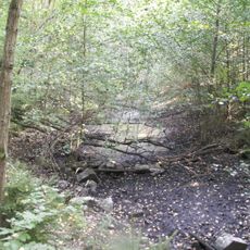
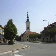
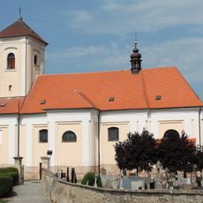
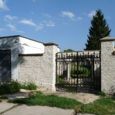
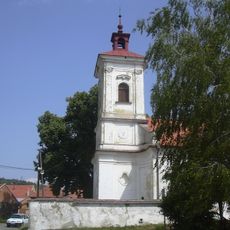
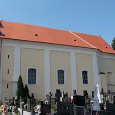
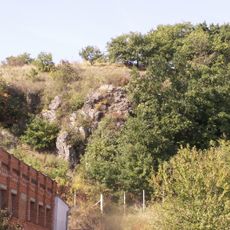
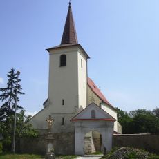
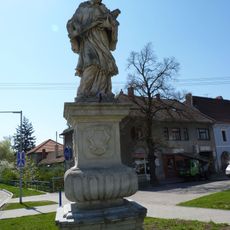
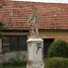
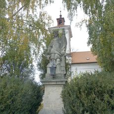
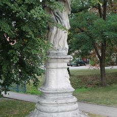
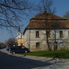
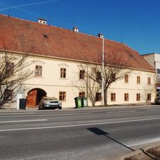
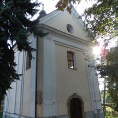
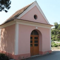
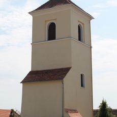
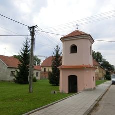
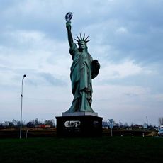
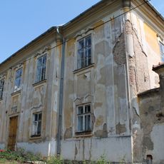
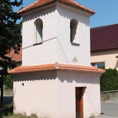
Habrovany, village in Vyškov District of South Moravian region
Location: Вишков
Location: Vyškov District
Elevation above the sea: 314 m
Shares border with: Rousínov, Tučapy, Nemojany, Komořany, Olšany
Email: obec@habrovany.cz
Website: http://habrovany.cz
GPS coordinates: 49.23286,16.87830
Latest update: March 11, 2025 22:26
Panská skála (natural monument, Vyškov District)
1.3 km
Zámek Habrovany
356 m
Synagogue in Rousínov
3.4 km
Church of Saint Mary Magdalene
3.3 km
Church of Saint Wenceslaus
4.1 km
Jewish cemetery in Rousínov
3.7 km
Church of Holy Trinity
472 m
Church of Saints Philip and James
2.2 km
Hynčicovy skály
3.4 km
Church of Saint Barbara (Komořany)
3 km
Statue of saint Jan Nepomucký
3.2 km
Socha svatého Floriána
2.9 km
Socha svatého Floriána
497 m
Socha svatého Jana Nepomuckého
4.1 km
Old town hall in Rousínov
3.3 km
Pomník Františka Sušila
3.2 km
Socha svatého Jana Nepomuckého
2.9 km
Stará pošta Rousínov
3.2 km
Měšťanský dům
3.2 km
Chapel of Saint Florian
3.1 km
Socha svatého Jana Nepomuckého
2.2 km
Chapel of Saint John of Nepomuk
2.8 km
Birth house of František Sušil
3.3 km
Bell tower in Královopolské Vážany
2.2 km
Chapel of Saint Mary
3.4 km
Socha Svobody u Rousínova
3.9 km
Rectory in Královopolské Vážany
2.2 km
Bell tower in Vítovice
2.7 kmReviews
Visited this place? Tap the stars to rate it and share your experience / photos with the community! Try now! You can cancel it anytime.
Discover hidden gems everywhere you go!
From secret cafés to breathtaking viewpoints, skip the crowded tourist spots and find places that match your style. Our app makes it easy with voice search, smart filtering, route optimization, and insider tips from travelers worldwide. Download now for the complete mobile experience.
A unique approach to discovering new places❞
— Le Figaro
All the places worth exploring❞
— France Info
A tailor-made excursion in just a few clicks❞
— 20 Minutes