
Tučín, village in Přerov District of Olomouc region
Location: Přerov District
Location: správní obvod obce s rozšířenou působností Přerov
Elevation above the sea: 243 m
Shares border with: Radslavice, Želatovice, Přerov, Podolí, Pavlovice u Přerova
Email: tucin@c-box.cz
Website: http://tucin.cz
GPS coordinates: 49.45400,17.51505
Latest update: March 7, 2025 21:29

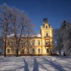
Pavlovice u Přerova Castle
3.6 km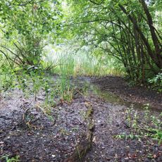
Malé laguny
3.3 km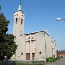
Church of Saint Joseph
2.6 km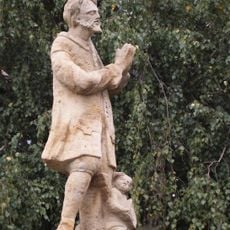
Socha svatého Isidora
231 m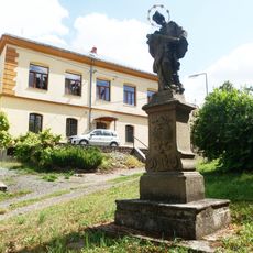
Socha svatého Jana Nepomuckého
1.2 km
Sochy svatého Františka Serafinského, svatého Šebestiána a Panny Marie
3.3 km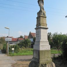
Statue of John of Nepomuk
2.9 km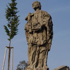
Sochy svatého Jana Nepomuckého a svatého Jana Sarkandra
3.1 km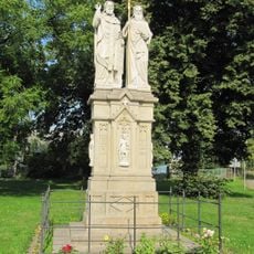
Statue of Saints Cyril and Methodius, Radslavice
2.7 km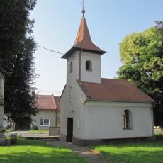
Chapel of Saint John the Baptist
3.2 km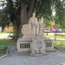
Statue of Tomáš Garrigue Masaryk, Radslavice
2.7 km
Socha Elektry
3.9 km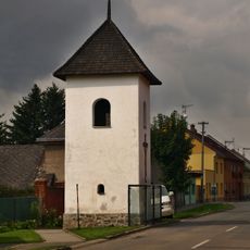
Zvonice
3.1 km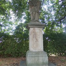
Socha svatého Jana Nepomuckého
85 m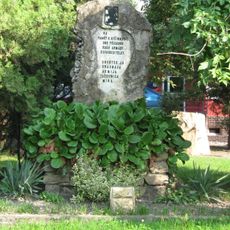
Red Army monument in Radslavice (Přerov)
2.7 km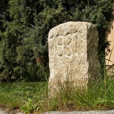
Hraniční kámen
3.2 km
Maria Magdaléno kající in Radslavice
2.6 km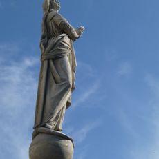
Maria bez poškvrny počatá in Radslavice
2.6 km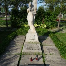
Memorial to Red Army men
3 km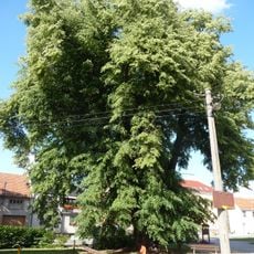
Tilia in Radslavice
2.7 km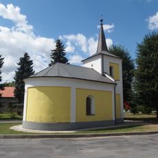
Chapel of Saints Cyril and Methodius
1.4 km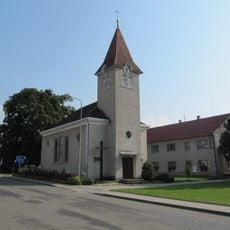
Chapel of the Visitation
3.8 km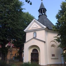
Chapel of Saint Wendelin
2.3 km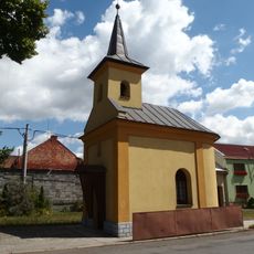
Chapel of Saints Peter and Paul
1.3 km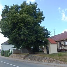
Chapel of Saint Anne
66 m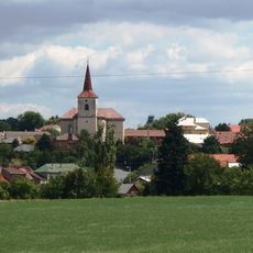
Church of Saint Giles
3.1 km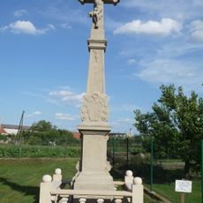
Wayside cross (Radslavice, Přerov)
2.4 km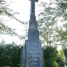
Wayside cross
3 kmReviews
Visited this place? Tap the stars to rate it and share your experience / photos with the community! Try now! You can cancel it anytime.
Discover hidden gems everywhere you go!
From secret cafés to breathtaking viewpoints, skip the crowded tourist spots and find places that match your style. Our app makes it easy with voice search, smart filtering, route optimization, and insider tips from travelers worldwide. Download now for the complete mobile experience.

A unique approach to discovering new places❞
— Le Figaro
All the places worth exploring❞
— France Info
A tailor-made excursion in just a few clicks❞
— 20 Minutes