
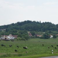
Cehnice, village in Strakonice District of South Bohemian region
Location: Strakonice District
Location: SO ORP Strakonice
Elevation above the sea: 432 m
Shares border with: Paračov, Třešovice, Radějovice, Drahonice, Jinín, Čejetice, Bílsko
Email: oucehnice@sendme.cz
Website: http://cehnice.cz
GPS coordinates: 49.21515,14.02941
Latest update: March 17, 2025 15:47
Stronghold Cehnice
228 m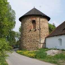
Stronghold Drahonice
3.6 km
Míchov
2.7 km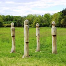
Husitští bojovníci
3.5 km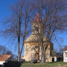
Church of Saints Peter and Paul
3 km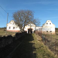
Usedlost čp. 12
3.1 km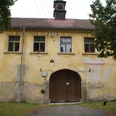
Drahonice Castle
3.6 km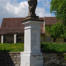
Socha svatého Václava
3.6 km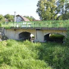
Road bridge 22-041 in Cehnice
58 m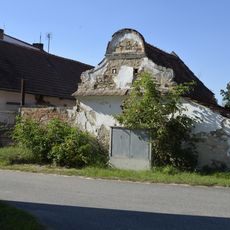
Granary at the house No. 104 in Cehnice
320 m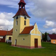
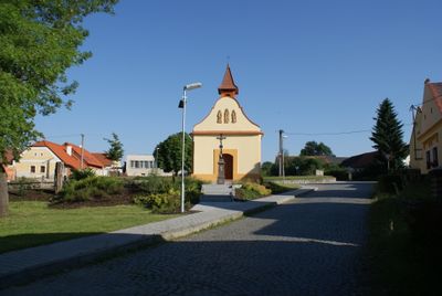
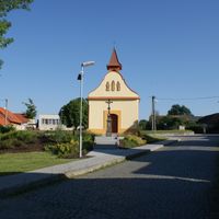
Chapel of the Visitation
3.7 km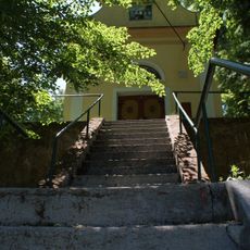
Chapel of Saint John of Nepomuk
2.1 km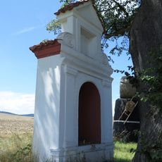
Boží muka
2.1 km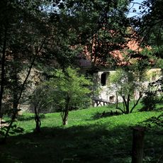
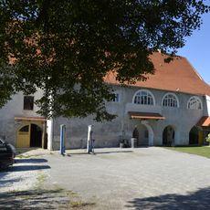
Manor house
2.2 km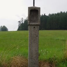
Column shrine between Kváskovice and Radějovice
3.2 km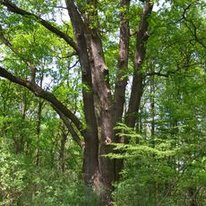
Dub Břeňka Švihovského
2.9 km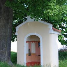
Chapel of Saint John of Nepomuk
3.7 km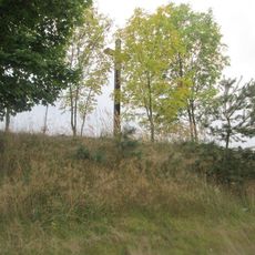
Kříž severovýchodně od Jinína
2.8 km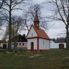
Chapel of Saint John the Baptist
1.7 km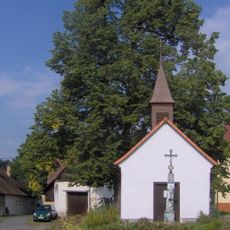
Chapel of Virgin Mary
3.2 km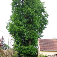
Paračovská lípa
3 km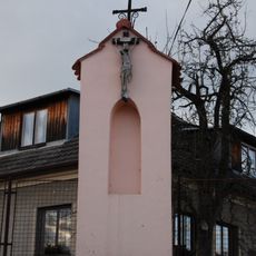
Kaplička v severní části vsi
2.2 km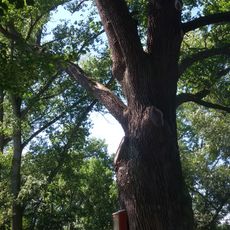
Mladějovický dub
2.7 km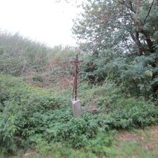
Kříž severně od Cehnic u rybníků
1.5 km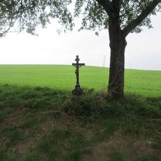
Kříž západně od Drahonic
3.2 km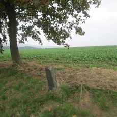
Kříž severozápadně od Cehnic u rozcestí
2.1 km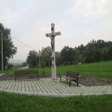
Kříž u silnice I/22 nedaleko Cehnice
474 m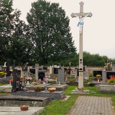
Hřbitov Paračov
2.8 kmReviews
Visited this place? Tap the stars to rate it and share your experience / photos with the community! Try now! You can cancel it anytime.
Discover hidden gems everywhere you go!
From secret cafés to breathtaking viewpoints, skip the crowded tourist spots and find places that match your style. Our app makes it easy with voice search, smart filtering, route optimization, and insider tips from travelers worldwide. Download now for the complete mobile experience.

A unique approach to discovering new places❞
— Le Figaro
All the places worth exploring❞
— France Info
A tailor-made excursion in just a few clicks❞
— 20 Minutes