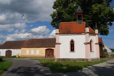
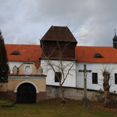
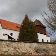
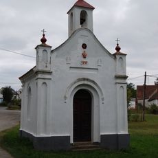
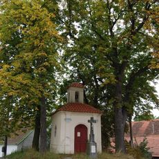
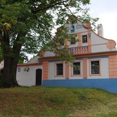
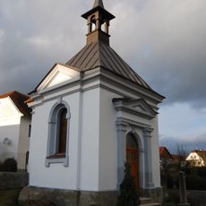
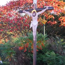
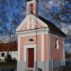
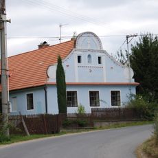
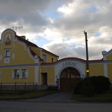
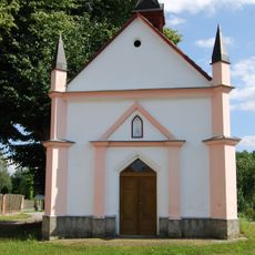
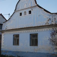
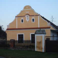
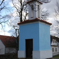
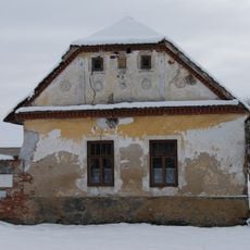
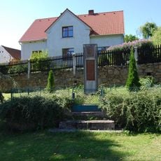
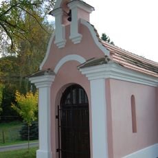
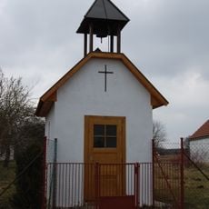
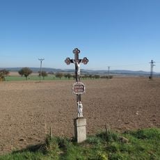
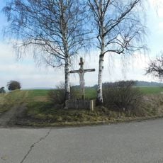
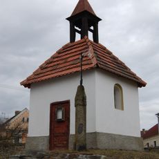
Temešvár, village in Písek District of South Bohemian region
Location: Písek District
Location: Писек
Elevation above the sea: 414 m
Shares border with: Záhoří, Oslov, Podolí I, Jetětice, Olešná, Kluky, Vlastec, Albrechtice nad Vltavou
Email: obec@temesvar.cz
Website: http://temesvar.cz
GPS coordinates: 49.35646,14.26356
Latest update: March 5, 2025 06:32
Podolsko Bridge
674 m
Červená railway bridge (the old)
2.9 km
Church of Saint John the Baptist
3.5 km
Chřešťovice
3.3 km
Chapel of Holy Trinity (Třešně)
3.7 km
Návesní kaplička
3.3 km
Usedlost čp. 25
3.5 km
Usedlost čp. 7
3.3 km
Penitence cross 0233
3.5 km
World War I memorial in Jamný
1.7 km
Most silnice III/10558 přes Velký potok v Olešné
3.3 km
Boží muka
4.1 km
Chapel of the Visitation of the Virgin Mary in Chřešťovice
4.1 km
Kříž
206 m
Chapel of Saint Anne
2.5 km
Štít usedlosti čp. 20
3.8 km
Usedlost čp. 1
1.7 km
Chapel of Saint Joseph
14 m
Usedlost čp. 20
1.7 km
Usedlost čp. 7
1.6 km
Zvonička
1.7 km
Průčelí usedlosti čp. 10
3.7 km
World War I memorial in Olešná
3.6 km
Chapel of Saint John of Nepomuk
2.1 km
Chapel of Our Lady of Lourdes
2.4 km
Kříž u hřiště v Horním Záhoří
3.7 km
Kříž mezi Jamným a Temešvárem
898 m
Chapel of Saint John of Nepomuk
3.6 kmReviews
Visited this place? Tap the stars to rate it and share your experience / photos with the community! Try now! You can cancel it anytime.
Discover hidden gems everywhere you go!
From secret cafés to breathtaking viewpoints, skip the crowded tourist spots and find places that match your style. Our app makes it easy with voice search, smart filtering, route optimization, and insider tips from travelers worldwide. Download now for the complete mobile experience.
A unique approach to discovering new places❞
— Le Figaro
All the places worth exploring❞
— France Info
A tailor-made excursion in just a few clicks❞
— 20 Minutes