
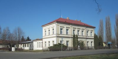
Úmyslovice, village in Nymburk District of Central Bohemian region
Location: Nymburk District
Location: upravni občinski okoliš z razširjenimi pristojnostmi Poděbrady
Elevation above the sea: 187 m
Website: http://www.umyslovice.cz/
Shares border with: Kouty, Senice, Velenice, Okřínek, Činěves, Netřebice
Email: umyslovice@email.cz
Website: http://umyslovice.cz
GPS coordinates: 50.20345,15.17766
Latest update: March 31, 2025 05:07
Dymokury Castle
5.1 km
Bétel
6.9 km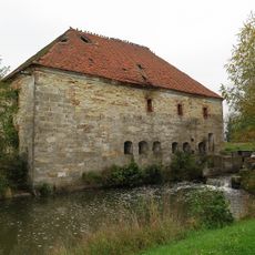
Lazarův mlýn
4.3 km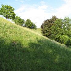
Vinný vrch
5.3 km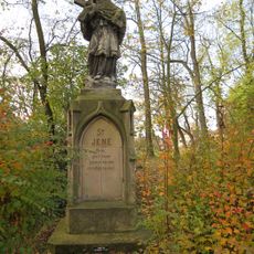
Statue of John of Nepomuk in Dymokury
5.2 km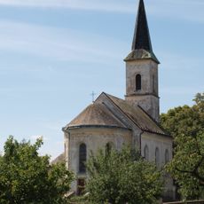
Church of Saint Procopius
5.6 km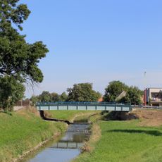
Most silnice II/329 přes Mrlinu ve Vestci
4.5 km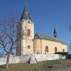
Church of Saint Wenceslaus
4 km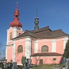
Church of the Annunciation of the Virgin Mary
5.3 km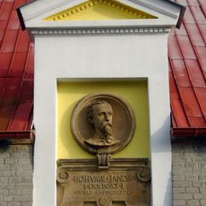
Pomník B. Jandy - Cidlinského
4.4 km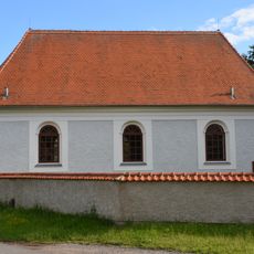
Evangelical church
3.6 km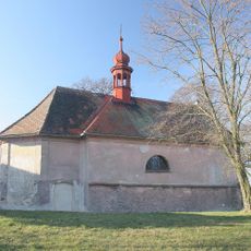
Church of Saint Bartholomew in Podmoky
4.3 km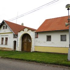
Brána s brankou usedlosti čp. 7
5.7 km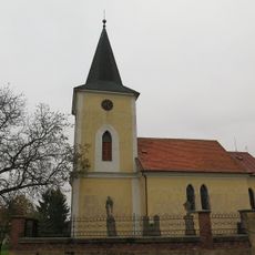
Church of Saint Leonard in Úmyslovice
140 m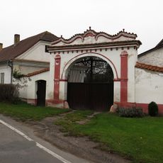
Brána s brankou usedlosti čp. 7
2.7 km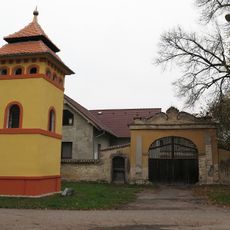
Brána usedlosti čp. 15
2.5 km
Usedlost čp. 8
2.3 km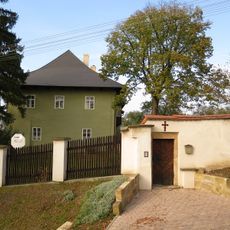
Rectory in Činěves
4 km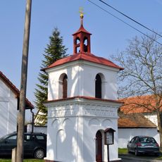
Chapel of Saints Peter and Paul
6 km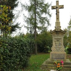
Krucifix
4.8 km
Hrušeň u Svídnice
5.9 km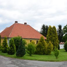
Protestant rectory in Velenice
3.6 km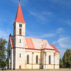
Church of the Assumption
4.8 km
Hrušeň obecná
1.9 km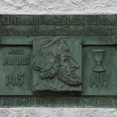
Pamětní deska Jana Husa ve Velenicích
3.6 km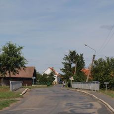
Most přes Mrlinu v Budiměřicích
5.8 km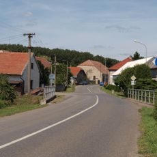
Most silnice II/330 přes Blatnici v Rašovicích
4.3 km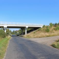
Most silnice I/32 přes silnici III/3241 v Činěvsi
3.8 kmReviews
Visited this place? Tap the stars to rate it and share your experience / photos with the community! Try now! You can cancel it anytime.

Discover hidden gems everywhere you go!
From secret cafés to breathtaking viewpoints, skip the crowded tourist spots and find places that match your style. Our app makes it easy with voice search, smart filtering, route optimization, and insider tips from travelers worldwide. Download now for the complete mobile experience.

A unique approach to discovering new places❞
— Le Figaro
All the places worth exploring❞
— France Info
A tailor-made excursion in just a few clicks❞
— 20 Minutes