
Drslavice, village and municipality (obec) in Uherské Hradiště District in the Zlín Region of the Czech Republic
Location: Uherské Hradiště District
Location: Угерски Брод
Elevation above the sea: 204 m
Shares border with: Veletiny, Vlčnov, Prakšice, Nedachlebice, Hradčovice, Uherský Brod
Email: obec@drslavice.cz
Website: http://drslavice.cz
GPS coordinates: 49.04706,17.60008
Latest update: March 3, 2025 13:27
Prakšická Pear-Tree
3.6 km
Lhotka
1.4 km
Terasy
1.2 km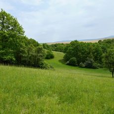
Rovná hora
2.6 km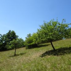
Vrchové
2.2 km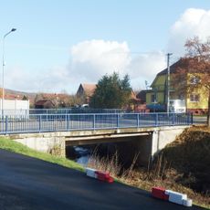
Most silnice III/05019 přes Holomňu v Drslavicích
226 m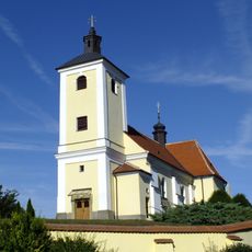
Church of All Saints
1.4 km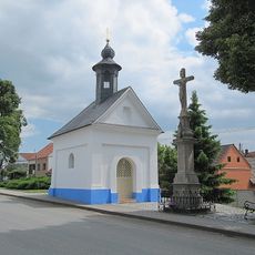
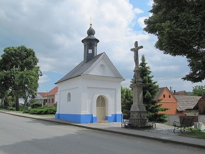
Chapel of Our Lady of Hostýn
107 m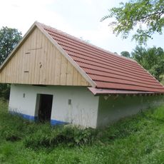
Vinná búda če. 37
2 km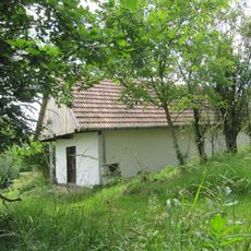
Vinná búda če. 18
1.9 km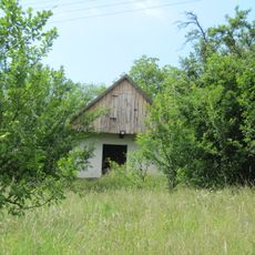
Vinná búda če. 4
1.9 km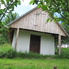
Vinná búda če. 14
1.9 km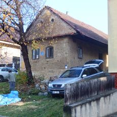
Usedlost čp. 138
1.3 km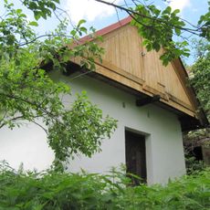
Vinná búda če. 32
2 km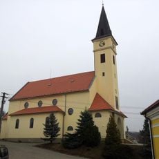
Church of Christ the King
3.6 km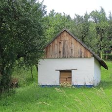
Vinná búda če. 98
1.9 km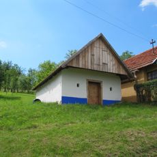
Vinná búda če. 20
1.9 km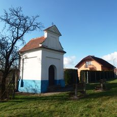
Chapel of Saint Sebastian
2.3 km
Vinná búda če. 19
1.9 km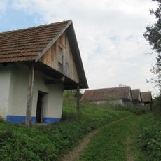
Vinná búda
2.9 km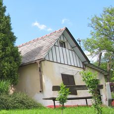
Vinná búda če. 26
2 km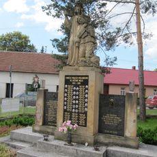
Pomník padlým u školy v Havřicích
2.5 km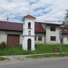
Zvonička v Havřicích
2.6 km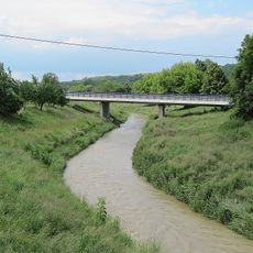
Western bridge of road I/50 over the Olšava in Veletiny
2.8 km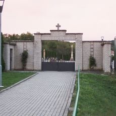
Hřbitov Prakšice
3.6 km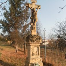
Kříž u domu Svatopluka Čecha 233 v Uherském Brodu
3.1 km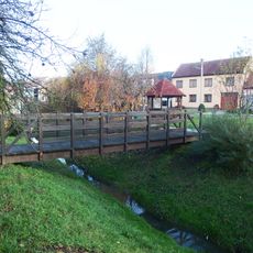
Lávka přes Hradčovický potok v Hradčovicích proti čp. 3
1.3 km
Kříž na rozcestí v centru Havřic
2.3 kmReviews
Visited this place? Tap the stars to rate it and share your experience / photos with the community! Try now! You can cancel it anytime.
Discover hidden gems everywhere you go!
From secret cafés to breathtaking viewpoints, skip the crowded tourist spots and find places that match your style. Our app makes it easy with voice search, smart filtering, route optimization, and insider tips from travelers worldwide. Download now for the complete mobile experience.

A unique approach to discovering new places❞
— Le Figaro
All the places worth exploring❞
— France Info
A tailor-made excursion in just a few clicks❞
— 20 Minutes