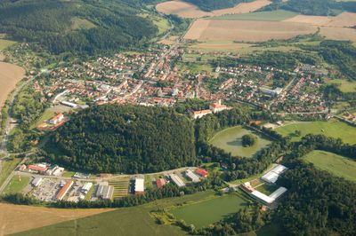
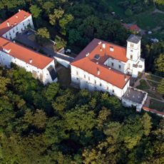
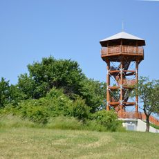
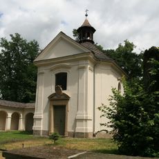
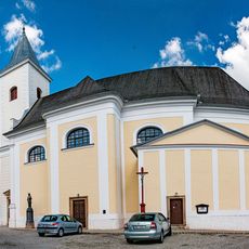
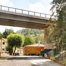
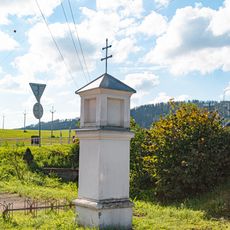
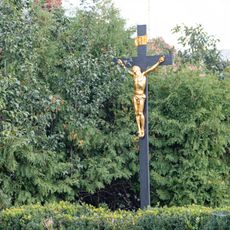
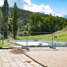
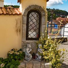
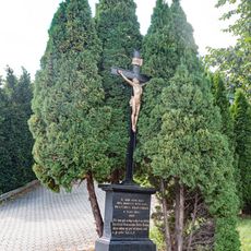
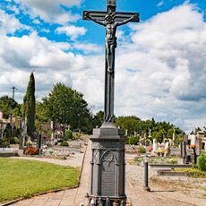
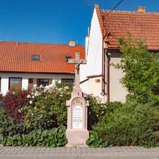
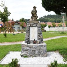
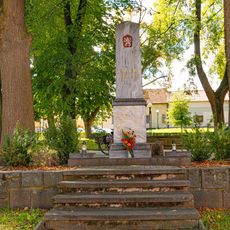
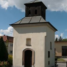
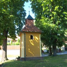
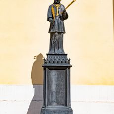
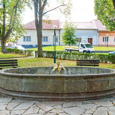
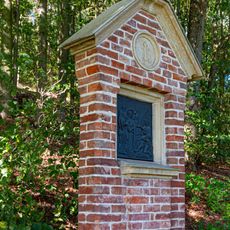
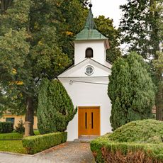
Černá Hora, town in Czech Republic
Location: obvod obce s rozšířenou působností Blansko
Location: Blansko District
Elevation above the sea: 328 m
Shares border with: Rájec-Jestřebí, Žernovník, Býkovice, Bořitov, Závist, Újezd u Černé Hory, Milonice, Malá Lhota, Lipůvka, Spešov, Blansko
Email: cernahora@seznam.cz
Website: http://cernahora.eu
GPS coordinates: 49.41363,16.58142
Latest update: March 13, 2025 07:05
Zámek Černá Hora
356 m
Žernovník
3.1 km
Chapel of the Holy Family (Černá Hora)
435 m
Church of Saint Lawrence
205 m
Křížová cesta
502 m
Most Sokolské ulice přes Býkovku v Bořitově
971 m
Kříž
882 m
Most obchvatu Černé Hory přes Potoční ulici
454 m
Výklenková kaplička
655 m
Kříž
305 m
Pamětní deska
140 m
Koupaliště
486 m
Výklenková kaplička
221 m
Kříž
702 m
Kříž
335 m
Kříž
937 m
World War I memorial in Milonice
5.3 km
Chapel in Milonice
5.3 km
World Wars memorial in Černá Hora
77 m
Chapel of Saint Lawrence
2.7 km
Chapel of Saint Anne
3.3 km
Socha
206 m
Kašna
79 m
Obrázek na křížové cestě na Zámeckém vrchu v Černé Hoře
491 m
Kaple
2.5 km
Zastavení křížové cesty
509 m
Spešovská rozhledna
2.4 km
Kříž
194 mVisited this place? Tap the stars to rate it and share your experience / photos with the community! Try now! You can cancel it anytime.
Discover hidden gems everywhere you go!
From secret cafés to breathtaking viewpoints, skip the crowded tourist spots and find places that match your style. Our app makes it easy with voice search, smart filtering, route optimization, and insider tips from travelers worldwide. Download now for the complete mobile experience.
A unique approach to discovering new places❞
— Le Figaro
All the places worth exploring❞
— France Info
A tailor-made excursion in just a few clicks❞
— 20 Minutes