
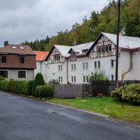
Oloví, town in the Czech Republic
Location: Sokolov District
Location: správní obvod obce s rozšířenou působností Kraslice
Elevation above the sea: 528 m
Shares border with: Jindřichovice, Dolní Nivy, Rotava, Krajková, Kraslice
Email: podatelna@olovi.cz
Website: https://olovi.cz
GPS coordinates: 50.25125,12.55885
Latest update: March 2, 2025 22:48
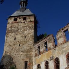
Hartenberg
3.5 km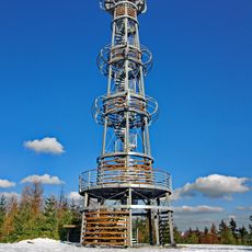
Cibulka
1.6 km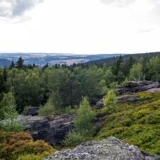
Přírodní park Leopoldovy Hamry
4 km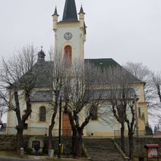
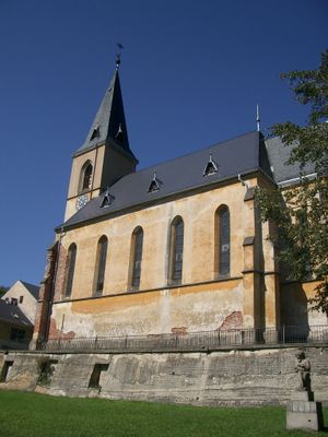
Church of Saints Peter and Paul
4.3 km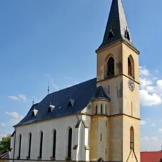
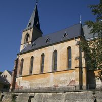
Church of Saint Michael (Oloví)
684 m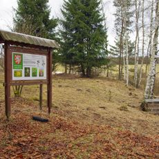
Studenec
2.6 km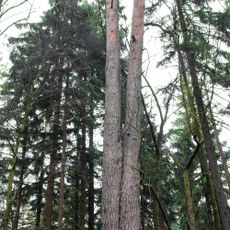
Borovice u Hartenberku
3.5 km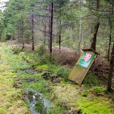
V rašelinách
3.4 km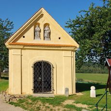
Chapel on the Chlumek
3.4 km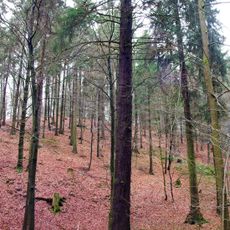
Smrk pod Hartenberkem
3.5 km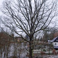
Dub v Loučné
3.3 km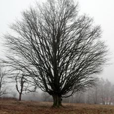
Bernovský klen
3.8 km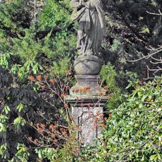
Statue of Immaculata in Krajková
4 km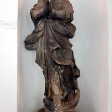
Maria column in Hřebeny
3.6 km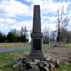
World War I memorial
1.8 km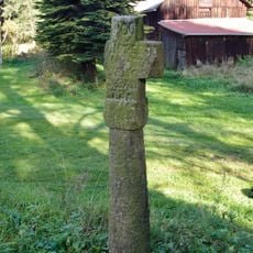
Smírčí kříž
3.5 km
Mausoleum in Jindřichovice
4.3 km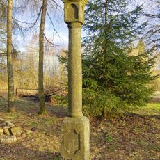
Column shrine in Horní Studenec
1.7 km
Tvrziště
2.6 km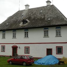
Rectory in Jindřichovice
4.6 km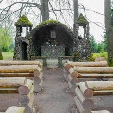
Chapel of Holy Trinity
1.8 km
World War I memorial in Staré Hory
1.9 km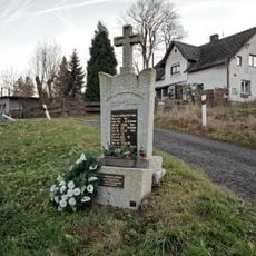
World War I memorial
3.2 km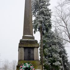
World War I memorial in Jindřichovice
4.7 km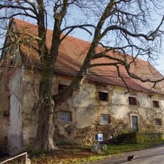
Granary in Hřebeny
3.7 km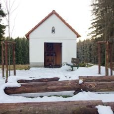
Chapel of Saint Joseph
1.1 km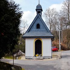
Chapel in Boučí
2.7 km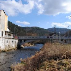
Most ulice ČSA přes Svatavu v Oloví
90 mReviews
Visited this place? Tap the stars to rate it and share your experience / photos with the community! Try now! You can cancel it anytime.
Discover hidden gems everywhere you go!
From secret cafés to breathtaking viewpoints, skip the crowded tourist spots and find places that match your style. Our app makes it easy with voice search, smart filtering, route optimization, and insider tips from travelers worldwide. Download now for the complete mobile experience.

A unique approach to discovering new places❞
— Le Figaro
All the places worth exploring❞
— France Info
A tailor-made excursion in just a few clicks❞
— 20 Minutes