
Šubířov, village in Prostějov District of Olomouc region
Location: Prostějov District
Location: Konice (klein district)
Elevation above the sea: 564 m
Shares border with: Skřípov, Kladky, Dzbel, Jaroměřice
Email: starosta.subirov@volny.cz
Website: http://subirov.cz
GPS coordinates: 49.60219,16.81338
Latest update: March 16, 2025 16:29

Church of St. Libor
3.7 km
Durana (nature reserve)
2.6 km
Durana
2.6 km
Na Kozénku
3 km
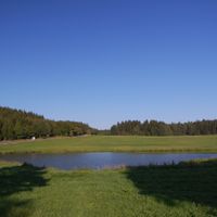
Skřípovský mokřad
1.8 km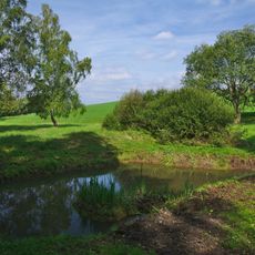
U nádrže
4.6 km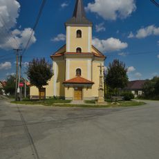
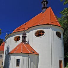
Church of Our Lady of Sorrows
38 m
Skřípovská lípa
2 km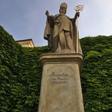
Socha svatého Libora
3.7 km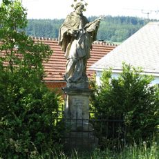
Socha svatého Jana Nepomuckého
3.6 km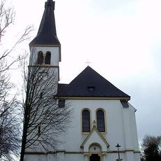
Church of Saints Cyril and Methodius
5.5 km
Church of the Ascension of the Lord in Skřípov
2.3 km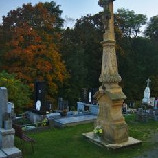
Krucifix
5.4 km
Hruška u Roudenské cesty
4.6 km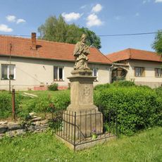
Socha Jana Nepomuckého ve Dzbelu na návsi
2.9 km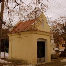
Chapel of Virgin Mary
3.1 km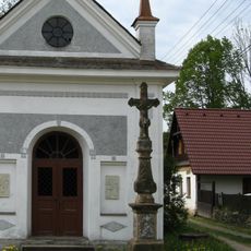
Krucifix
2.3 km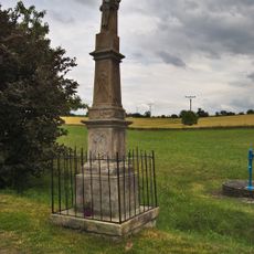
Krucifix
2.5 km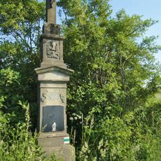
Kříž severně od Jesence u polní cesty
3.8 km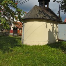
Chapel of Saint Anne
3.7 km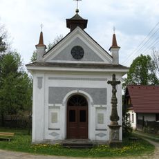
Čtyři kaple
2 km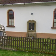
Pomník padlým ve Dzbelu u bývalé kaple
2.8 km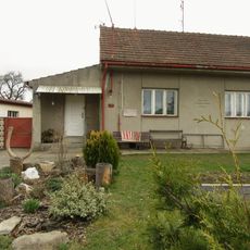
Pamětní deska ve Dzbelu
2.7 km
Kříž jižně od Kladek na polním rozcestí
4.2 km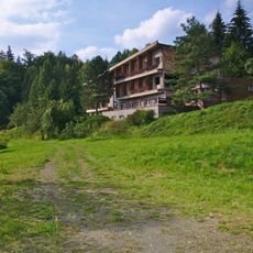
Hotel Upolín
3.2 km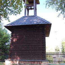
Zvonice
2.1 km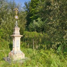
Kříž u Dzbelu vedle hlavní silnice
2.5 km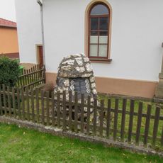
Pomník padlým ve Dzbelu u bývalé kaple (2)
2.8 kmVisited this place? Tap the stars to rate it and share your experience / photos with the community! Try now! You can cancel it anytime.

Discover hidden gems everywhere you go!
From secret cafés to breathtaking viewpoints, skip the crowded tourist spots and find places that match your style. Our app makes it easy with voice search, smart filtering, route optimization, and insider tips from travelers worldwide. Download now for the complete mobile experience.

A unique approach to discovering new places❞
— Le Figaro
All the places worth exploring❞
— France Info
A tailor-made excursion in just a few clicks❞
— 20 Minutes