
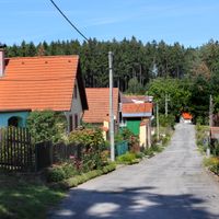
Knínice, village in Jihlava District of Vysočina region
Location: Jihlava District
Location: správní obvod obce s rozšířenou působností Telč
Elevation above the sea: 541 m
Shares border with: Lomy, Hříšice, Horní Slatina, Budeč, Červený Hrádek, Krasonice, Radkovice u Budče
Email: kninice@ji.cz
Website: http://obec-kninice.cz
GPS coordinates: 49.09406,15.60407
Latest update: March 5, 2025 03:39
Krasonice
2.5 km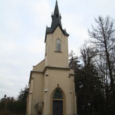
Church of Saint Mary
3 km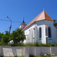
Church of the Annunciation of the Virgin Mary
1.3 km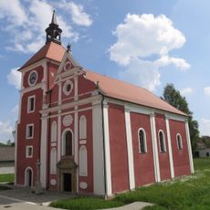
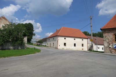
Church of the Exaltation of the Holy Cross (Knínice)
55 m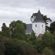
Church of Saint Giles
2.5 km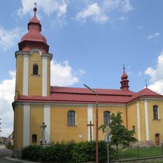
Church of Saint Lawrence
2.5 km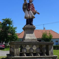
Statue of John of Nepomuk in Budeč
1.3 km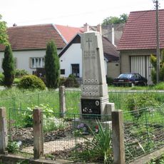
Památník obětem 1. sv. války v Knínici
91 m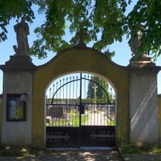
Hřbitovní brána a kříž
2.9 km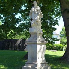
Socha svatého Jana Nepomuckého
2.8 km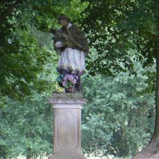
Socha svatého Jana Nepomuckého
1.6 km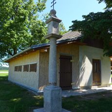
Boží muka
3 km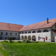
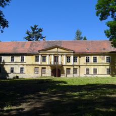
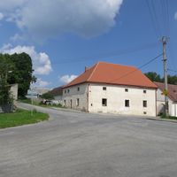
Budeč Castle
1.5 km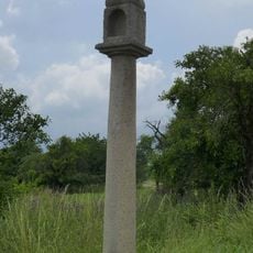
Boží muka
2.8 km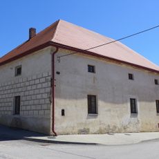
Usedlost čp. 4
26 m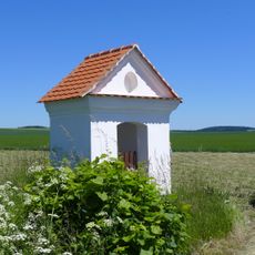
Výklenková kaplička
469 m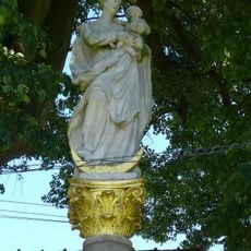
Mariánský sloup (Krasonice)
2.4 km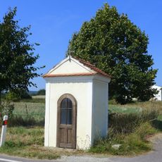
Chapel of Saint Anthony
2.8 km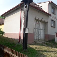
Zvonička
2.6 km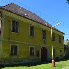
Fara
2.4 km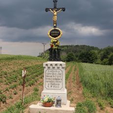
Kříž západně od Radkovic u Budče
1.4 km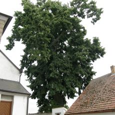
Slatinská lípa
2.5 km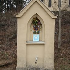
Kaplička u Humberku
3.1 km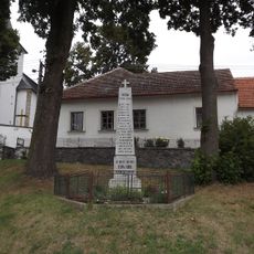
World War I memorial in Horní Slatina
2.5 km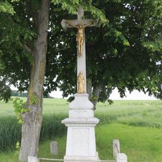
Kříž u silnice u Radkovic u Budče
1.8 km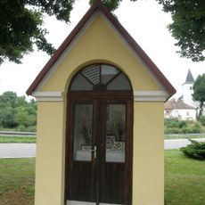
Chapel in Horní Slatina
2.6 km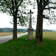
Kříž u polní cesty pod Humberkem
3.1 km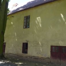
Fara
1.4 kmReviews
Visited this place? Tap the stars to rate it and share your experience / photos with the community! Try now! You can cancel it anytime.
Discover hidden gems everywhere you go!
From secret cafés to breathtaking viewpoints, skip the crowded tourist spots and find places that match your style. Our app makes it easy with voice search, smart filtering, route optimization, and insider tips from travelers worldwide. Download now for the complete mobile experience.

A unique approach to discovering new places❞
— Le Figaro
All the places worth exploring❞
— France Info
A tailor-made excursion in just a few clicks❞
— 20 Minutes