
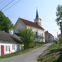
Stříbřec, village in Jindřichův Hradec District of South Bohemian region
Location: Jindřichův Hradec District
Location: správní obvod obce s rozšířenou působností Třeboň
Elevation above the sea: 442 m
Shares border with: Chlum u Třeboně, Příbraz, Pístina, Třeboň, Novosedly nad Nežárkou
Email: obec@stribrec.cz
Website: https://stribrec.cz
GPS coordinates: 49.02995,14.87826
Latest update: March 12, 2025 19:53

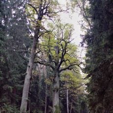
Dub Emy Destinové
1.8 km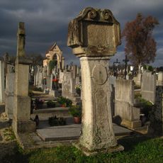
Stations of the cross (Lutová)
4.8 km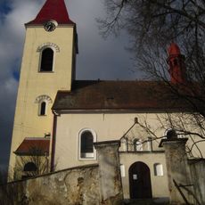
All Saints Church (Lutová)
4.8 km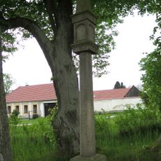
Boží muka
5.3 km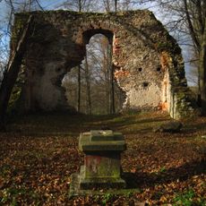
Ruined church of the Birth of Virgin Mary
4.4 km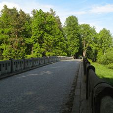
Stříbřecký most
1.5 km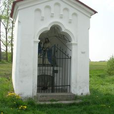
Kaple Loučení Panny Marie
4.7 km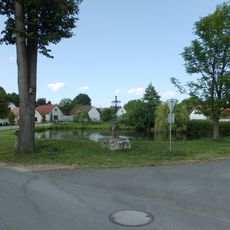
Kříž
4.2 km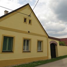
Lutová 36
4.9 km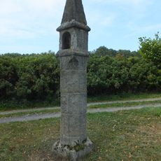
Wayside shrine in Žíteč
4.1 km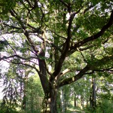
Dub u Budínského rybníka
777 m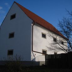
Granary
5.1 km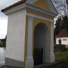
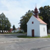
Chapel of Saint John of Nepomuk
5 km
Sýpka
4.2 km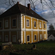
Rectory
4.9 km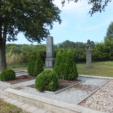
World War I memorial in Žíteč
4.1 km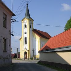
Church of Saint John of Nepomuk
2 m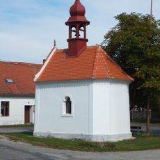
Kaple
3.9 km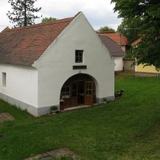
Kovárna
60 m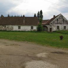
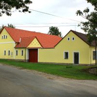
Usedlost čp. 28
2.6 km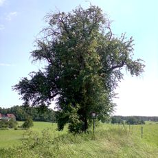
Stříbřecká hrušeň
219 m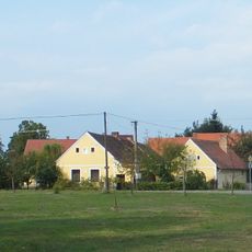
Stříbřec čp. 9
220 m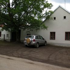
Usedlost čp. 2
2.6 km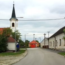
Kaple v Mirochově
5.1 km
Chapel of the Assumption of the Virgin Mary
4.3 km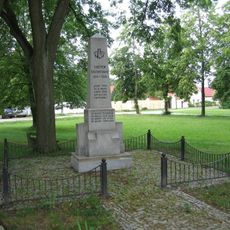
Pomník padlým v 1. světové válce ve středu obce Pístina
2.6 km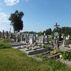
Hřbitov Chlum u Třeboně
4.8 km
Zemědělský dvůr čp. 35 a 37
171 mVisited this place? Tap the stars to rate it and share your experience / photos with the community! Try now! You can cancel it anytime.
Discover hidden gems everywhere you go!
From secret cafés to breathtaking viewpoints, skip the crowded tourist spots and find places that match your style. Our app makes it easy with voice search, smart filtering, route optimization, and insider tips from travelers worldwide. Download now for the complete mobile experience.

A unique approach to discovering new places❞
— Le Figaro
All the places worth exploring❞
— France Info
A tailor-made excursion in just a few clicks❞
— 20 Minutes