
Řisuty, village in Kladno District of Central Bohemian region
Location: Kladno District
Location: správní obvod obce s rozšířenou působností Slaný
Elevation above the sea: 310 m
Shares border with: Jedomělice, Tuřany, Malíkovice, Přelíc, Libovice, Studeněves, Ledce
Email: info@risuty.cz
Website: http://risuty.cz
GPS coordinates: 50.21657,14.00506
Latest update: March 25, 2025 23:27

Church of Saints Peter and Paul
2.8 km
Starý zámek
3.4 km
Smečno
3.3 km
Chapel of St John the Baptist
2.3 km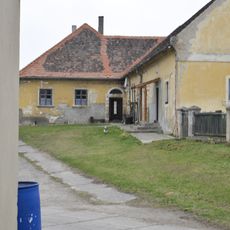
Malíkovice Fortress
1.7 km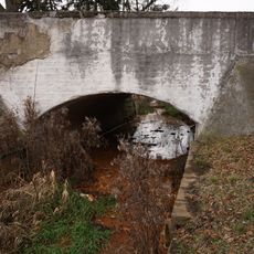
Most silnice III/23638 přes Byseňský potok v Byseni
3.2 km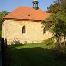
All Saints church
1.8 km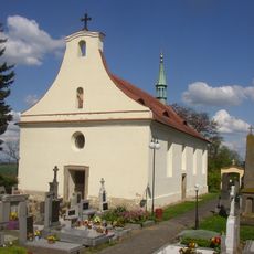
Church of the Assumption of the Virgin Mary
2.4 km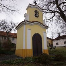
Chapel
2.2 km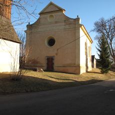
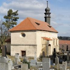
Church of Saint James the Greater
172 m
Chapel in Jedomělice
2.9 km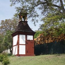
Zvonice
3.3 km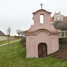
Chapel
2.8 km
A-3/41/B2-80 Z light pillbox
3.7 km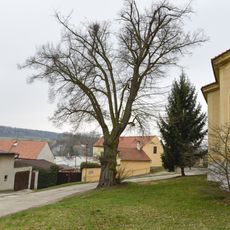
Tilia Cordata in Řisuty
152 m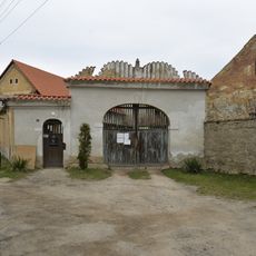
Homestead No. 14 in Řisuty
197 m
Zvonice v Tuřanech
2.3 km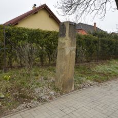
Milestone in Tuřany
2.6 km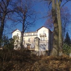
Areál lázní
2.4 km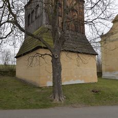
Zvonice v Řisutech
172 m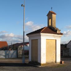
Kaple v Bysni
3.3 km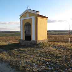
Kaplička u polní cesty poblíž věžového vodojemu Tuřany
2.5 km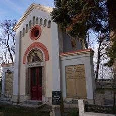
Hřbitov Tuřany
2.3 km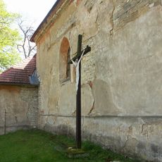
Kříž u kostela Všech svatých v Malíkovicích
1.8 km
Smečno
3.3 km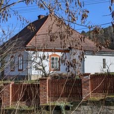
Fara
1.8 km
Most bývalé úzkorozchodné dráhy přes Muclavský potok
3.1 km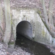
Most úzkokolejné dráhy přes Šternberský potok
2.6 kmReviews
Visited this place? Tap the stars to rate it and share your experience / photos with the community! Try now! You can cancel it anytime.
Discover hidden gems everywhere you go!
From secret cafés to breathtaking viewpoints, skip the crowded tourist spots and find places that match your style. Our app makes it easy with voice search, smart filtering, route optimization, and insider tips from travelers worldwide. Download now for the complete mobile experience.

A unique approach to discovering new places❞
— Le Figaro
All the places worth exploring❞
— France Info
A tailor-made excursion in just a few clicks❞
— 20 Minutes