
Zájezdec, village in Chrudim District of Pardubice region
Location: Chrudim District
Location: Хрудим
Elevation above the sea: 264 m
Shares border with: Rosice, Řestoky, Přestavlky, Trojovice
Email: obec.zajezdec@tiscali.cz
Website: http://zajezdec.cz
GPS coordinates: 49.93170,15.92690
Latest update: March 31, 2025 04:42
Church of Holy Trinity (Chrast)
3.4 km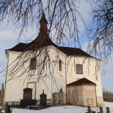
Church of Saint Martin
3.2 km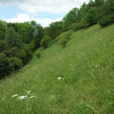
Chrašická stráň
3.4 km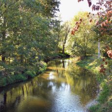
Hrochotýnecká tabule
1.2 km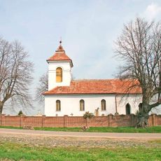
Památné lípy v Řestokách
1.3 km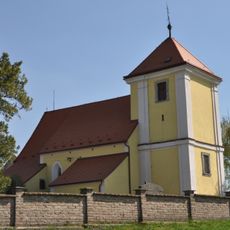
Church of the Exaltation of the Holy Cross (Honbice)
2.6 km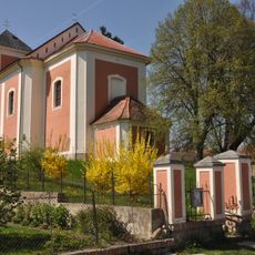
Church of Saint Michael (Trojovice)
608 m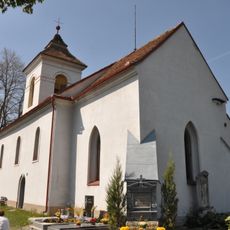
Church of Saint Wenceslaus (Řestoky)
1.3 km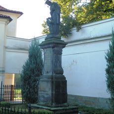
Statue of John of Nepomuk
3.5 km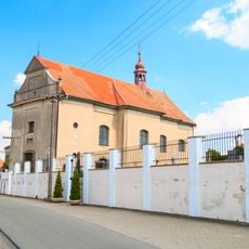
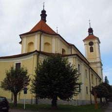
Church of Saint Wenceslaus
2.4 km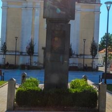
Pomník obětem světových válek
3.4 km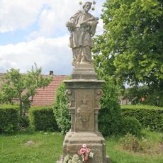
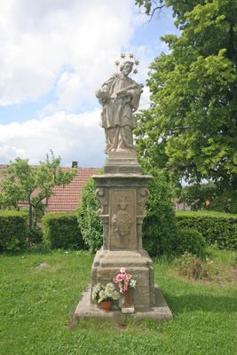
Socha svatého Jana Nepomuckého
6 m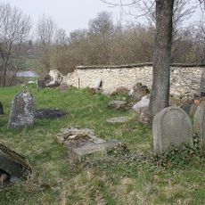
Jewish cemetery in Přestavlky
317 m
Sýpka - Chrastecká krčma
3.2 km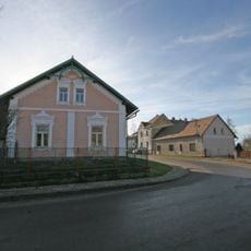
Usedlost čp. 61
1.7 km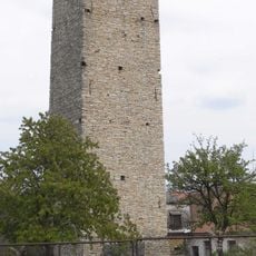
Water tower in Chrašice
3.4 km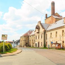
Rosice Castle
2.1 km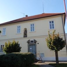
Děkanství
3.5 km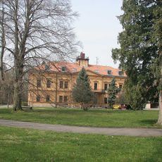
Zámek Přestavlky
900 m
Dům čp. 172
3.4 km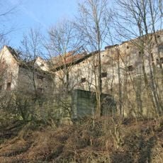
Sýpka
1.9 km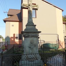
Krucifix
3.2 km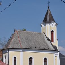
Chapel of Saint Anne
706 m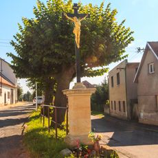
Kříž
3.5 km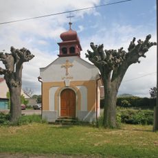
Chapel in Blansko
2 km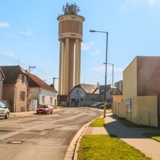
Vodárenská věž
3.3 km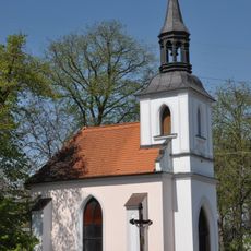
Chapel of Virgin Mary
2.8 km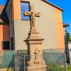
Kříž v Chrasti na křižovatce ulic Tyršova a Tylova
3.2 kmVisited this place? Tap the stars to rate it and share your experience / photos with the community! Try now! You can cancel it anytime.
Discover hidden gems everywhere you go!
From secret cafés to breathtaking viewpoints, skip the crowded tourist spots and find places that match your style. Our app makes it easy with voice search, smart filtering, route optimization, and insider tips from travelers worldwide. Download now for the complete mobile experience.

A unique approach to discovering new places❞
— Le Figaro
All the places worth exploring❞
— France Info
A tailor-made excursion in just a few clicks❞
— 20 Minutes