
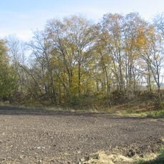
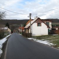
Přerubenice, village in Rakovník District of Central Bohemian region
Location: Rakovník District
Elevation above the sea: 369 m
Shares border with: Milý, Kalivody, Bdín
Email: prerubenice@prerubenice.cz
Website: http://prerubenice.cz
GPS coordinates: 50.21726,13.84110
Latest update: March 2, 2025 21:41

Dřevíč Hill Fort
3.5 km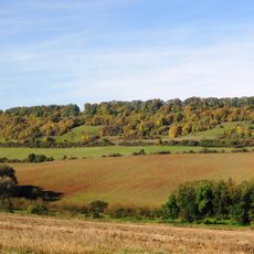
Milská stráň
3.1 km
Kalivody
1.2 km
Beech in Budlín
3.3 km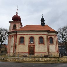
Church of Saint Nicolaus
3.9 km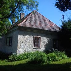
Homestead in Dřevíč
3.6 km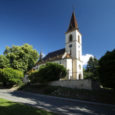
Church of Saint Margaret in Kroučová
4.4 km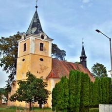
Church of Saints Peter and Paul
4.2 km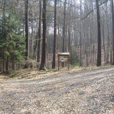
Naučná stezka Uhelná stezka Kroučová
4.4 km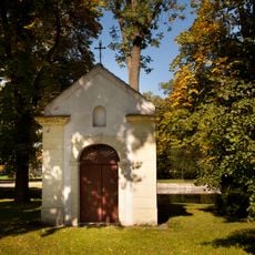
Chapel of Saint Anne
4.1 km
Church of Holy Trinity (Srbeč)
2.7 km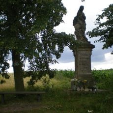
Socha svaté Markéty
4.7 km
Church of Saint James the Greater
3.2 km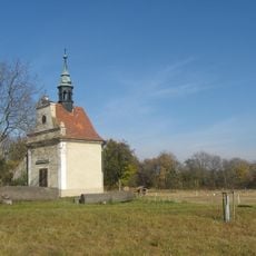
Chapel of Saint Wenceslaus
3.6 km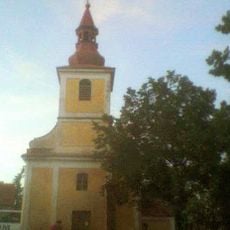
Chapels of Saint Procopius
3.5 km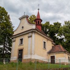
Chapel of Saint Michael in Milý
2.5 km
Usedlost čp. 51
4.3 km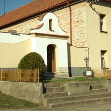
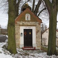
Kaplička
4.1 km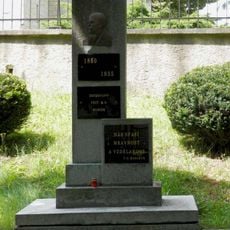
Památník T.G.Masaryka v Kroučové
4.3 km
Kaplička na návsi v Kozojedech
4.6 km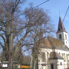
Lípa malolistá
4.4 km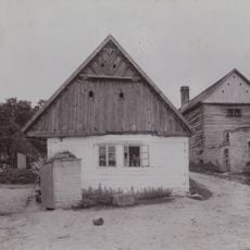
Roubený dům u usedlosti čp. 6
1 km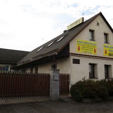
Dům čp. 101
4.2 km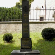
Pomník padlým v Kroučové
4.4 km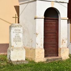
Kříž u kaple v Kozojedech
4.6 km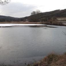
Kalivody
1.2 km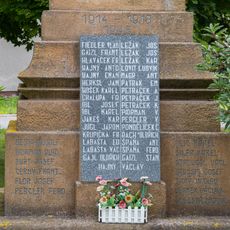
Pomník obětem za svobodu v Řevničově
4.5 km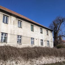
Lípa velkolistá
4.4 kmReviews
Visited this place? Tap the stars to rate it and share your experience / photos with the community! Try now! You can cancel it anytime.
Discover hidden gems everywhere you go!
From secret cafés to breathtaking viewpoints, skip the crowded tourist spots and find places that match your style. Our app makes it easy with voice search, smart filtering, route optimization, and insider tips from travelers worldwide. Download now for the complete mobile experience.

A unique approach to discovering new places❞
— Le Figaro
All the places worth exploring❞
— France Info
A tailor-made excursion in just a few clicks❞
— 20 Minutes