
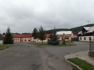
Pacetluky, village in Kroměříž District of Zlín region
Location: Kroměříž District
Location: Голешов
Elevation above the sea: 277 m
Website: http://www.pacetluky.cz
Shares border with: Kostelec u Holešova, Roštění, Prusinovice, Bořenovice
Email: starosta@pacetluky.cz
Website: http://pacetluky.cz
GPS coordinates: 49.37947,17.56576
Latest update: April 1, 2025 22:54
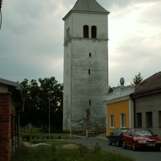
Bell tower in Dřevohostice
5.5 km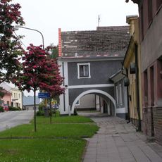
Žudr usedlosti čp. 17
5.5 km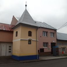
Zvonice
2 km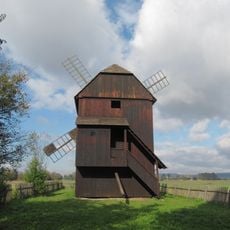
Windmill in Rymice
4.6 km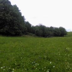
Tvrz Dobrotice
4.6 km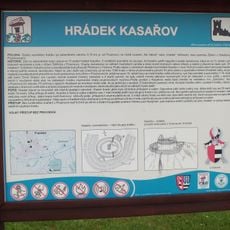
Kasařov
2.8 km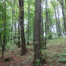
Dubina (natural monument)
3 km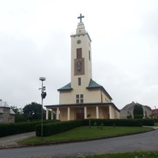
Church of Saint Florian
2.4 km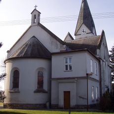
Church of Saint Catherine
1.6 km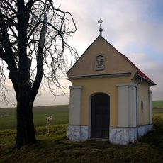
Chapel of Virgin Mary (Bořenovice)
1.7 km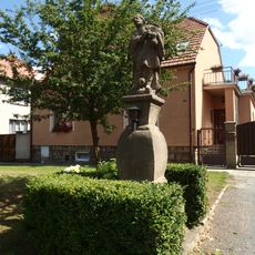
Socha svatého Rocha
5.4 km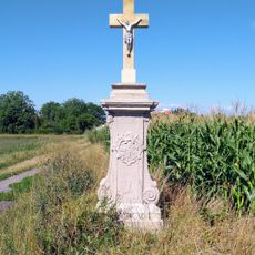
Socha svatého Vendelína - podstavec
4.7 km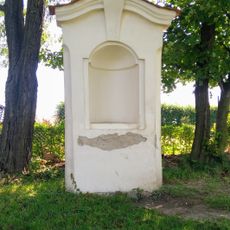
Výklenková kaplička - poklona
3.3 km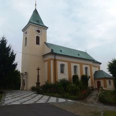
Church of Saints Peter and Paul
4 km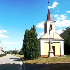
Chapel of Saints Cyril and Methodius
4.7 km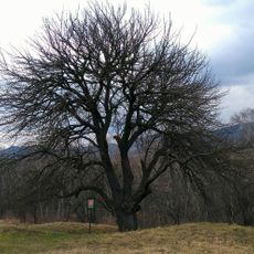
Planá hrušeň na hradisku
4.6 km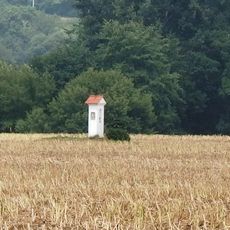
Boží muka
4.7 km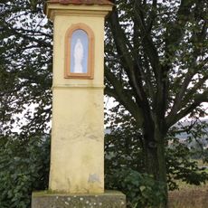
Boží muka
2.2 km
Výklenková kaplička - poklona
2.8 km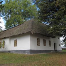
Dům čp. 62
4.7 km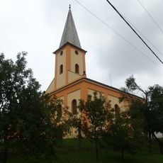
Evangelical church
1.5 km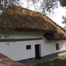
Venkovská usedlost
4.6 km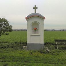
Výklenková kaplička - poklona
4.1 km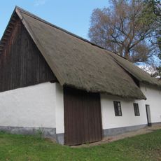
Dům čp. 64
4.6 km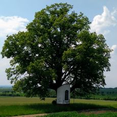
Lípa U Poklony
2.8 km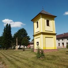
Kaple na návsi
5.1 km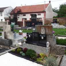
Hřbitov Kostelec u Holešova
4 km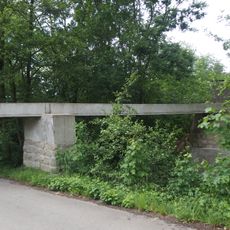
Aqueduct in Dobrotice
4.8 kmReviews
Visited this place? Tap the stars to rate it and share your experience / photos with the community! Try now! You can cancel it anytime.
Discover hidden gems everywhere you go!
From secret cafés to breathtaking viewpoints, skip the crowded tourist spots and find places that match your style. Our app makes it easy with voice search, smart filtering, route optimization, and insider tips from travelers worldwide. Download now for the complete mobile experience.

A unique approach to discovering new places❞
— Le Figaro
All the places worth exploring❞
— France Info
A tailor-made excursion in just a few clicks❞
— 20 Minutes