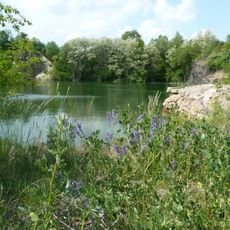
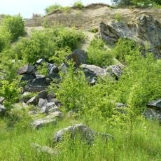
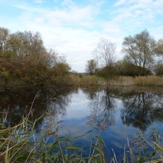
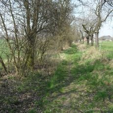
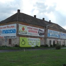
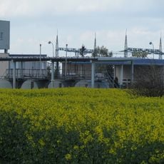
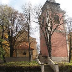
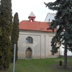
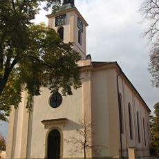
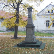
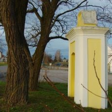
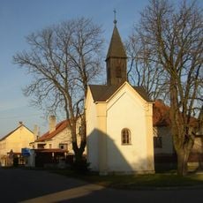
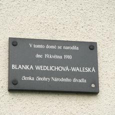
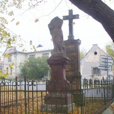
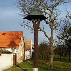
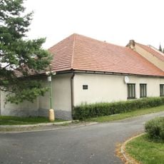
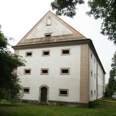
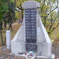
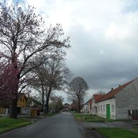
Velim, village and municipality in Kolín District in the Central Bohemian Region of the Czech Republic
Location: Kolín District
Location: administrative district Kolín
Elevation above the sea: 203 m
Shares border with: Pňov-Předhradí, Sokoleč, Břežany I, Křečhoř, Nová Ves I, Cerhenice
Email: ouvelim@velim.cz
Website: https://velim.cz
GPS coordinates: 50.05971,15.10718
Latest update: March 20, 2025 04:43
Skalka u Velimi
1.6 km
Lom u Nové Vsi
1.8 km
V jezírkách
2.6 km
Kostel svatého Václava
2.9 km
Friedrichsberg
2.6 km
Skalka
1.4 km
Church of Saint John of Nepomuk
2.7 km
Zlaté Slunce (Břežany I)
2.2 km
Nové Město
2.8 km
Church of Saint Lawrence
136 m
Chapel of Saint Anne
3.5 km
Evangelical church
397 m
Pomník bitvy u Kolína
3.6 km
Pomník Jana Bohumíra Dlabače v Cerhenicích
2.8 km
Pomník bitvy u Kolína
2.7 km
Výklenková kaplička
3.4 km
Chapel of Virgin Mary
2.9 km
Chapel in Sokoleč
4 km
Pamětní deska Blanky Wedlichové-Waleské
2.7 km
Socha Panny Marie Bolestné na návsi v Cerhenicích
2.9 km
Hospoda Zlaté slunce
2.3 km
Bell tower in Klipec
2.9 km
Cerhenická babyka
3.4 km
Rozhledna v Parku Květoslavy Šátkové
3.4 km
Rodný dům Blanky Wedlichové-Waleské
2.7 km
Cerhenice
2.8 km
Pomník padlým na návsi v Cerhenicích
2.8 km
Kamenný kříž ve Vítězově na návsi
1.7 kmReviews
Visited this place? Tap the stars to rate it and share your experience / photos with the community! Try now! You can cancel it anytime.
Discover hidden gems everywhere you go!
From secret cafés to breathtaking viewpoints, skip the crowded tourist spots and find places that match your style. Our app makes it easy with voice search, smart filtering, route optimization, and insider tips from travelers worldwide. Download now for the complete mobile experience.
A unique approach to discovering new places❞
— Le Figaro
All the places worth exploring❞
— France Info
A tailor-made excursion in just a few clicks❞
— 20 Minutes