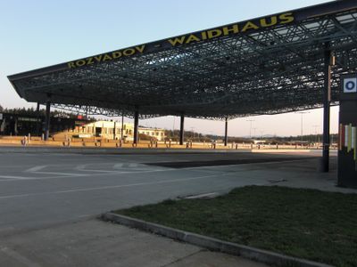
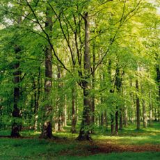
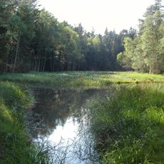
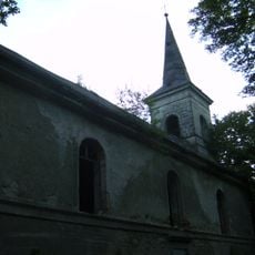
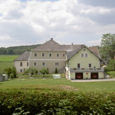
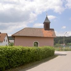
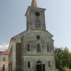
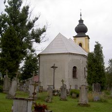
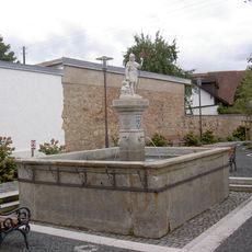
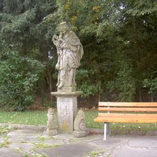
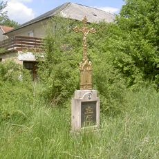
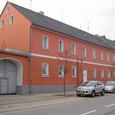
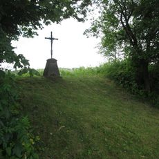
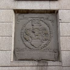
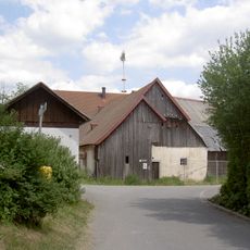
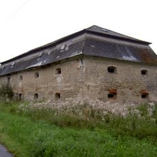
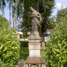
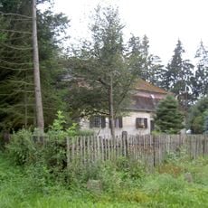
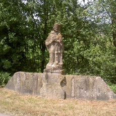
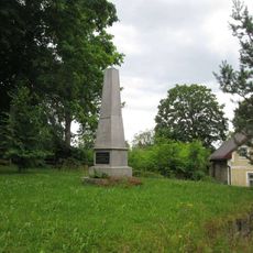
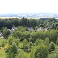
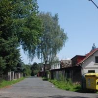
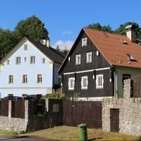
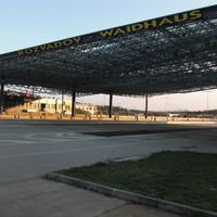
Rozvadov, village and municipality (obec) in Tachov District in the Plzeň Region of the Czech Republic, on the border with Germany
Location: Tachov District
Location: Tachov
Elevation above the sea: 570 m
Shares border with: Hošťka, Třemešné, Lesná, Přimda, Waidhaus, Eslarn
Email: info@rozvadov.cz
Website: http://rozvadov.cz
GPS coordinates: 49.66829,12.55194
Latest update: March 31, 2025 22:48
King's Casino Rozvadov
391 m
Castle Diana
5.4 km
Hl. Dreifaltigkeit
5.5 km
Saint Emmeram of Regensburg Church
5 km
Station building at Waidhaus station
5.1 km
Diana
4.5 km
Jezírka u Rozvadova
5.1 km
Church of the Visitation of Our Lady (Nové Domky)
2.2 km
Schloss Frankenreuth
4 km
Nepomukkapelle
3.9 km
Church of Saint Margaret
4.5 km
Church of Saint Catherine in Svatá Kateřina
3.5 km
Floriansbrunnen Waidhaus
5.2 km
Nepomuk Eslarner Straße Waidhaus
5.5 km
Wegkreuz (Frankenreuth)
3.6 km
Einfahrttor
5.1 km
Grabsteine bei der St. Emmeramkirche
4.7 km
Kříž u polní cesty nad Rozvadovem
878 m
Wappenstein Hauptstraße 6
5.2 km
Stallstadel
3 km
Sýpka u zámku
3.1 km
Heiligenfigur
5.1 km
Dům čp. 5
3.1 km
Nepomuk östlicher Ortsrand Waidhaus
4.4 km
Pomník padlým ve Svaté Kateřině
3.4 km
Wegkreuz
3.9 km
Ensemble Hauptstraße und Marktplatz Waidhaus
5 km
Arme Seelen im Fegfeuer
5 kmReviews
Visited this place? Tap the stars to rate it and share your experience / photos with the community! Try now! You can cancel it anytime.
Discover hidden gems everywhere you go!
From secret cafés to breathtaking viewpoints, skip the crowded tourist spots and find places that match your style. Our app makes it easy with voice search, smart filtering, route optimization, and insider tips from travelers worldwide. Download now for the complete mobile experience.
A unique approach to discovering new places❞
— Le Figaro
All the places worth exploring❞
— France Info
A tailor-made excursion in just a few clicks❞
— 20 Minutes