
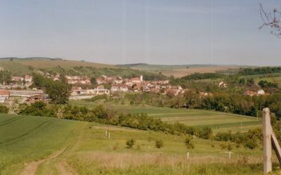
Louka, village in Hodonín District of South Moravian region
Location: Мораву
Location: Hodonín District
Elevation above the sea: 246 m
Shares border with: Lipov, Blatnička, Blatnice pod Svatým Antonínkem, Velká nad Veličkou
Email: novotny.ucetni@worldonline.cz
Website: http://obeclouka.cz
GPS coordinates: 48.91517,17.48927
Latest update: March 12, 2025 00:30
St. Anthony's Hill
5.1 km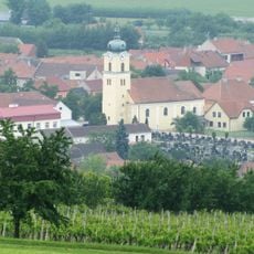
Church of Saint Andrew
4 km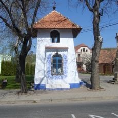
Bell tower
15 m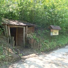
Borky
3.9 km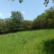
Hloží
1.4 km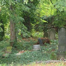
Jewish cemetery in Velká nad Veličkou
3.9 km
Háj u Louky
619 m
Kobylí hlava
5.3 km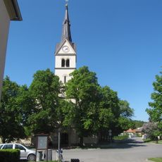
All Saints church
2.3 km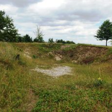
Střečkův kopec
4.7 km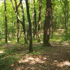
Háj u Lipova
2 km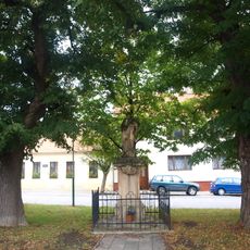
Statue of John of Nepomuk
4.4 km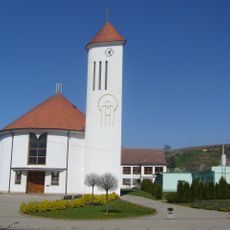
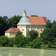
Church of the Virgin Mary of the Rosary
72 m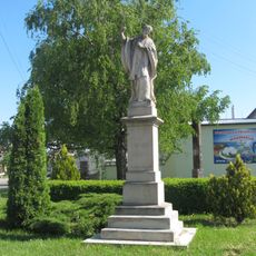
Socha svatého Františka Xaverského
3.9 km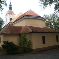
Church of Saint Mary Magdalene
4.5 km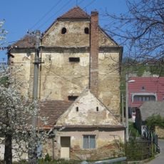
Sýpka - přestavěna ze zámku
140 m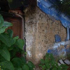
House No. 91 (Velká nad Veličkou)
4.6 km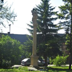
Maria column in Blatnice pod Svatým Antonínkem
4.1 km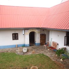
House No. 81
4.5 km
House No. 117
4.6 km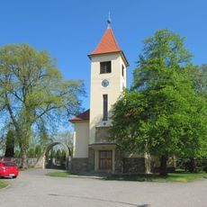
Church of the Assumption of the Virgin Mary
3.9 km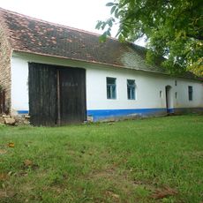
House No. 166
4.1 km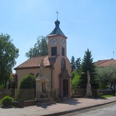
Chapel of Saint Wenceslaus
4.5 km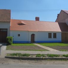
Usedlost čp. 52
4.3 km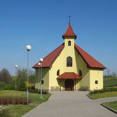
Chapel of Saint Luke
5.3 km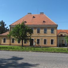
Fara
4 km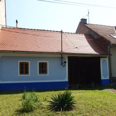
Usedlost čp. 12
4.8 km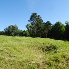
Kobylí hlava
5.3 kmReviews
Visited this place? Tap the stars to rate it and share your experience / photos with the community! Try now! You can cancel it anytime.
Discover hidden gems everywhere you go!
From secret cafés to breathtaking viewpoints, skip the crowded tourist spots and find places that match your style. Our app makes it easy with voice search, smart filtering, route optimization, and insider tips from travelers worldwide. Download now for the complete mobile experience.

A unique approach to discovering new places❞
— Le Figaro
All the places worth exploring❞
— France Info
A tailor-made excursion in just a few clicks❞
— 20 Minutes