
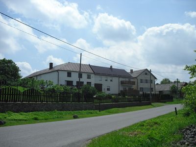
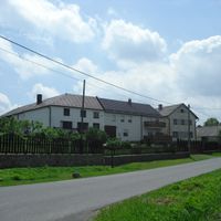
Heřmanice u Oder, village in Nový Jičín District of Moravian Silesian region
Location: Nový Jičín District
Location: Одры
Elevation above the sea: 486 m
Shares border with: Heřmánky, Odry, Fulnek, Jakubčovice nad Odrou
Email: obec@hermaniceuoder.cz
Website: http://hermaniceuoder.cz
GPS coordinates: 49.71367,17.80538
Latest update: April 18, 2025 02:29
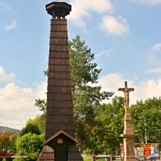
Zvonice
2.4 km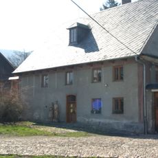
Vodní mlýn Wesselsky
3.2 km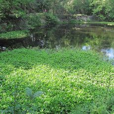
Stříbrné jezírko
5.6 km
Suchá Dora
4 km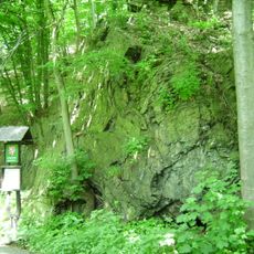
Vrásový soubor v Klokočůvku
4.5 km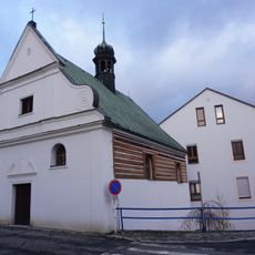
Chapel of the Holy Family (Odry)
5.6 km
Na Čermence
3.1 km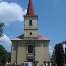
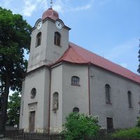
Church of Saint Nicholas
3.2 km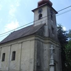
Church of Holy Trinity (Kamenka)
2.5 km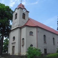
Church of the Visitation of Our Lady
1.1 km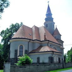
Church of Saint Martin
3.8 km
Church of the Immaculate Conception
2.7 km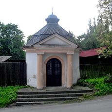
Chapel of Saint Hubertus
1.1 km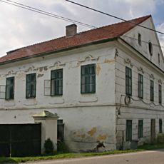
Fojtství
2.8 km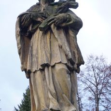
Sochy svatého Jana Nepomuckého, svatého Františka
5.6 km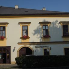
Městský dům
5.9 km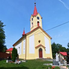
Church of Saint Nicholas
5.7 km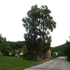
Lípy u kaple
4.3 km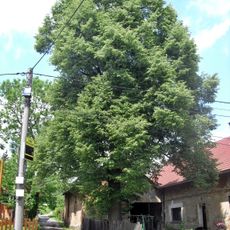
Fojtíkova lípa
3.7 km
Městský dům
5.9 km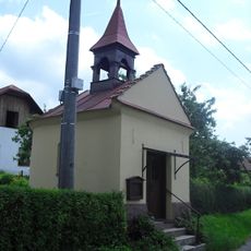
Chapel of the Holy Guardian Angels
3.1 km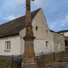
Wayside cross in Křížová street
5.8 km
Měšťanský dům
5.9 km
Dub u brodu
2.8 km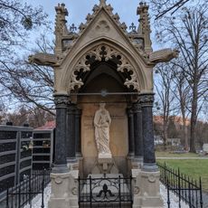
Hrobka rodiny Bernheirerovy
5.4 km
Hrobka rodiny Gerlich
5.4 km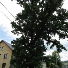
Pavlíkův dub
2.4 km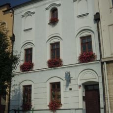
Městský dům
5.9 kmVisited this place? Tap the stars to rate it and share your experience / photos with the community! Try now! You can cancel it anytime.
Discover hidden gems everywhere you go!
From secret cafés to breathtaking viewpoints, skip the crowded tourist spots and find places that match your style. Our app makes it easy with voice search, smart filtering, route optimization, and insider tips from travelers worldwide. Download now for the complete mobile experience.

A unique approach to discovering new places❞
— Le Figaro
All the places worth exploring❞
— France Info
A tailor-made excursion in just a few clicks❞
— 20 Minutes