
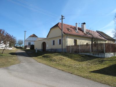
Šipoun, part of Strunkovice nad Blanicí in Prachatice District
Location: Strunkovice nad Blanicí
Elevation above the sea: 463 m
GPS coordinates: 49.08690,14.09330
Latest update: April 14, 2025 15:17
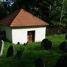
Jewish cemetery in Čichtice
955 m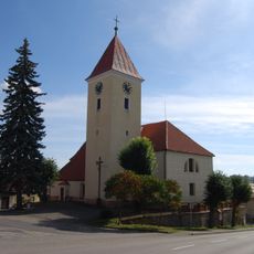
Church of Saint Dominic
2.8 km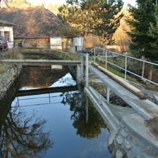
Lávka přes náhon u mlýna Blanice čp. 13
2.2 km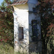
Chapel of Saint Adalbert
2.5 km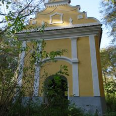
Chapel of Saint Gertrude
2.6 km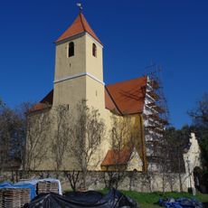
Church of Saint Giles
2.2 km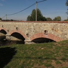
Kamenný most přes Zlatý potok v Protivci
1.1 km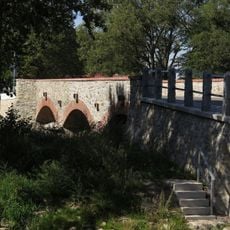
Inundační cihelný most v Protivci
1.1 km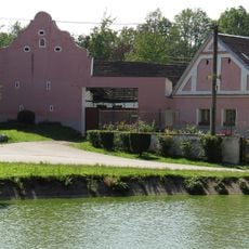
Sýpka u čp. 1
75 m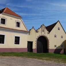
Usedlost čp. 31
3.1 km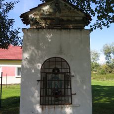
Chapel of Saint Leonard
1.1 km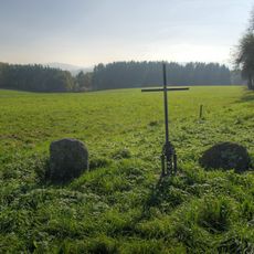
Penitence crosses 0502, 0721 and 0722
2.8 km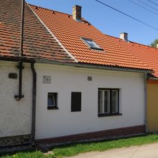
Židovský dům čp. 86
1.3 km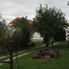
Usedlost čp. 19
3.1 km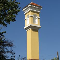
Boží muka svatého Linharta
1.7 km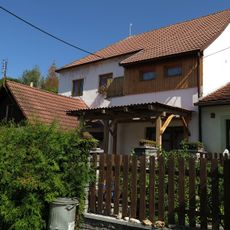
Židovský dům čp. 81
1.3 km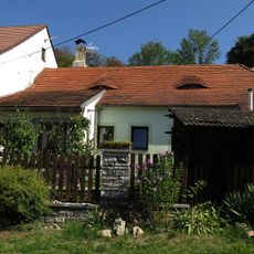
Židovský dům čp. 80
1.3 km
Most přes náhon Blanice jihovýchodně od Blanice
1.9 km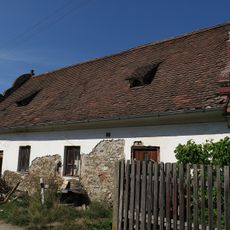
Židovský dům čp. 75
1.4 km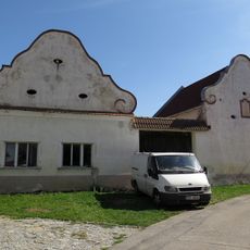
Sýpka u čp. 29
1.3 km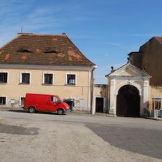
Fara
2.8 km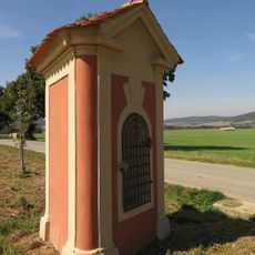
Výklenková kaplička
1.7 km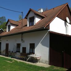
Židovský dům čp. 92
1.3 km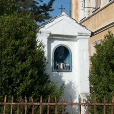
Chapel of Saint John of Nepomuk
1.7 km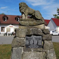
World War I memorial in Strunkovice nad Blanicí
2.6 km
Židovský dům čp. 85
1.4 km
Židovský dům čp. 88
1.3 km
Židovský dům čp. 71
1.4 kmReviews
Visited this place? Tap the stars to rate it and share your experience / photos with the community! Try now! You can cancel it anytime.
Discover hidden gems everywhere you go!
From secret cafés to breathtaking viewpoints, skip the crowded tourist spots and find places that match your style. Our app makes it easy with voice search, smart filtering, route optimization, and insider tips from travelers worldwide. Download now for the complete mobile experience.

A unique approach to discovering new places❞
— Le Figaro
All the places worth exploring❞
— France Info
A tailor-made excursion in just a few clicks❞
— 20 Minutes