
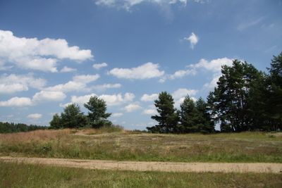
Slepičí vršek, protected area in Czech Republic
Location: Lužnice
Inception: August 5, 1955
GPS coordinates: 49.07060,14.76190
Latest update: March 18, 2025 17:07
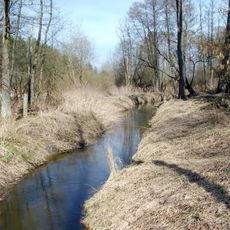
Goldener Kanal
3.1 km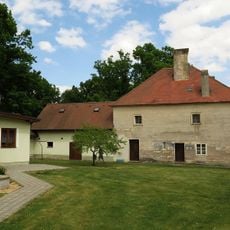
Rožmberská bašta
2.3 km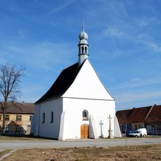
Church of Saint Wenceslaus
3.3 km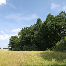
Olšina u Přeseky
3.1 km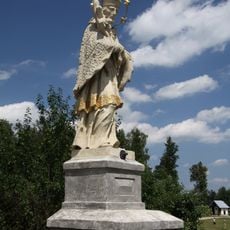
Socha svatého Jana Nepomuckého
916 m
Památné stromořadí u Rožmberka
2.5 km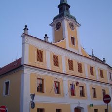
Radnice
3.4 km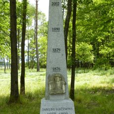
Monument to Jakub Krčín near Smitka
2.7 km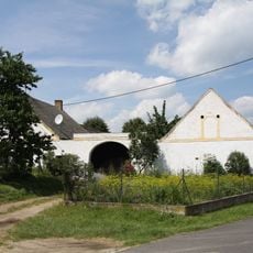
Usedlost čp. 17
871 m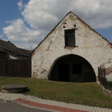
Kovárna
775 m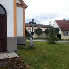
Kříž u kaple v Kleci
3.4 km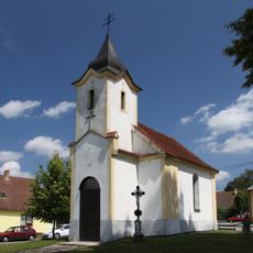
Chapel in Klec
3.4 km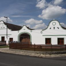
Usedlost čp. 16
930 m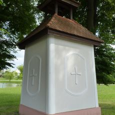
Kaple v Kolencích
3.1 km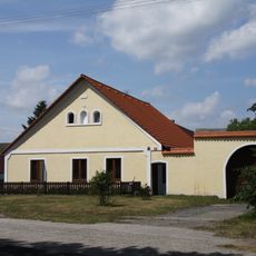
Usedlost čp. 27
919 m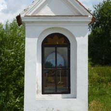
Kaplička u Lomnice nad Lužnicí
2.7 km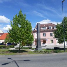
Pomník padlým v Lomnici nad Lužnicí
3.4 km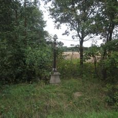
Kříž východně od Přeseky
3.1 km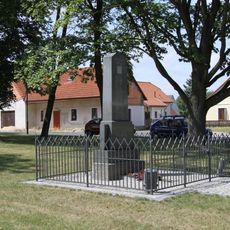
World War I memorial in Lužnice
959 m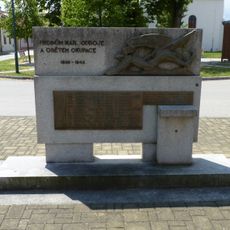
World War II memorial in Lomnice nad Lužnicí
3.3 km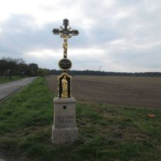
Kříž východně od Přeseky na křižovatce
2.8 km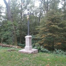
Kříž na hrázi rybníka Rožmberk
2.5 km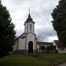
Kaple v Kleci
3.4 km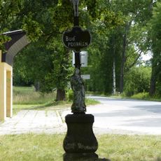
Kříž v Kleci u autobusové zastávky
2.8 km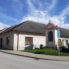
Kaplička v Lomnici nad Lužnicí
3.5 km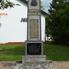
Pomník padlým v Kolencích
3.1 km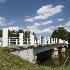
Bridge over the Lužnice in Lužnice
912 m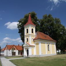
Chapel of Saint John of Nepomuk in Lužnice
976 mReviews
Visited this place? Tap the stars to rate it and share your experience / photos with the community! Try now! You can cancel it anytime.
Discover hidden gems everywhere you go!
From secret cafés to breathtaking viewpoints, skip the crowded tourist spots and find places that match your style. Our app makes it easy with voice search, smart filtering, route optimization, and insider tips from travelers worldwide. Download now for the complete mobile experience.

A unique approach to discovering new places❞
— Le Figaro
All the places worth exploring❞
— France Info
A tailor-made excursion in just a few clicks❞
— 20 Minutes