
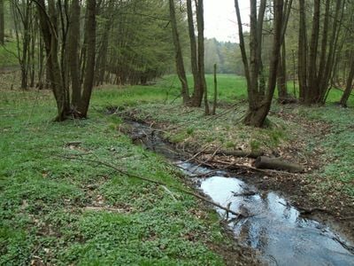
Augšperský potok, protected area in Czech Republic
Location: Brno-Žebětín
Inception: May 1, 1989
GPS coordinates: 49.19580,16.47130
Latest update: March 25, 2025 07:10
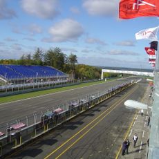
Masaryk Circuit
1.8 km
Kopeček
2.5 km
Bosonožský hájek
2 km
Pekárna
3.6 km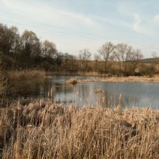
Žebětín pond
2.5 km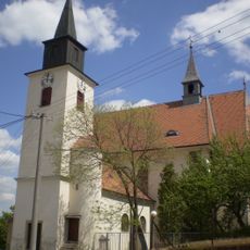
Church of Saint Bartholomew
1.6 km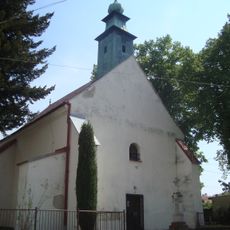
Kostel svatého Jakuba Staršího
3.4 km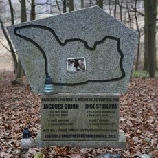
Jacques Drion and Inge Stoll memorial
3.3 km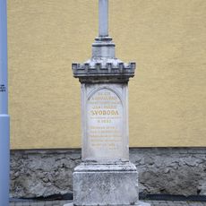
Wayside cross in Brno-Žebětín
1.9 km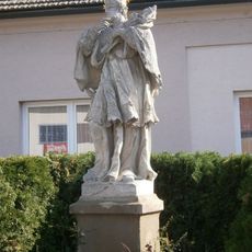
Statue of John of Nepomuk
1.6 km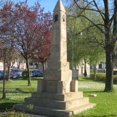
World War I memorial in Brno-Žebětín
1.7 km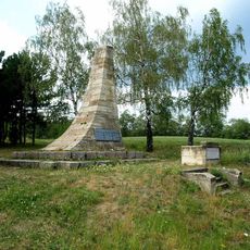
Pomník Osvobození
1.8 km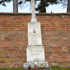
Jaroslav Mahn memorial
1.5 km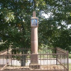
Column shrine in Brno-Žebětín
2.3 km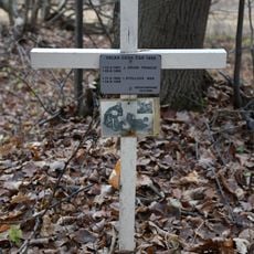
Jacques Drion and Inge Stoll cross memorial
3.3 km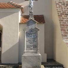
Wayside cross in Brno-Žebětín near the church
1.6 km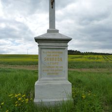
Wayside cross
1.7 km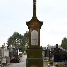
Cemetery cross
1.5 km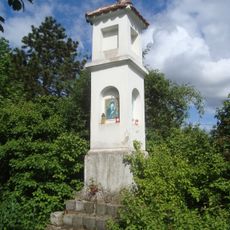
Boží muka u domu če. 63 v Troubsku
2.2 km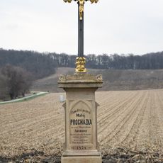
Wayside cross in Brno-Žebětín
2.7 km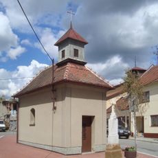
Chapel of Saint John of Nepomuk
2.3 km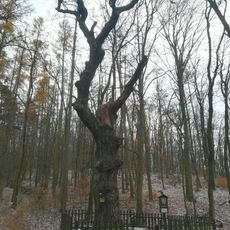
Dub letní
3.2 km
Fingerpost Žebětín - Ríšova, MHD
1.4 km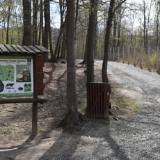
Naučná stezka Holedná
3.5 km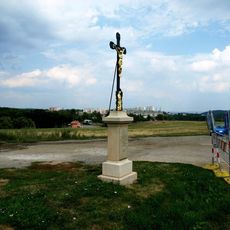
Wayside cross in Brno-Žebětín
2 km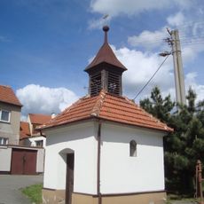
Kaple svatého Leopolda ve Veselce
3.1 km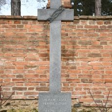
Wayside cross in front of the cemetery
1.5 km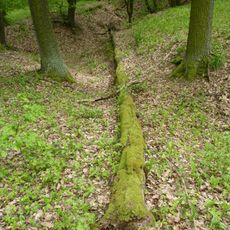
Bosonožský hájek
2.1 kmVisited this place? Tap the stars to rate it and share your experience / photos with the community! Try now! You can cancel it anytime.
Discover hidden gems everywhere you go!
From secret cafés to breathtaking viewpoints, skip the crowded tourist spots and find places that match your style. Our app makes it easy with voice search, smart filtering, route optimization, and insider tips from travelers worldwide. Download now for the complete mobile experience.

A unique approach to discovering new places❞
— Le Figaro
All the places worth exploring❞
— France Info
A tailor-made excursion in just a few clicks❞
— 20 Minutes