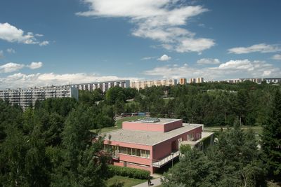
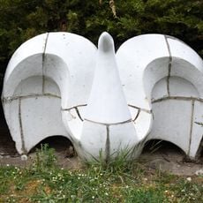
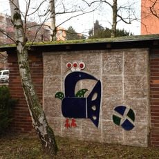
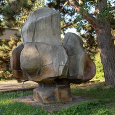
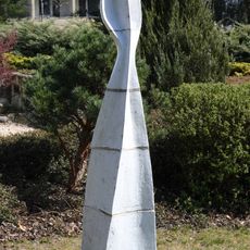
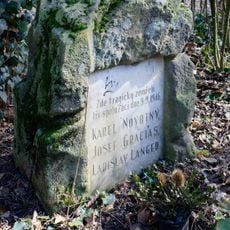
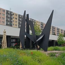
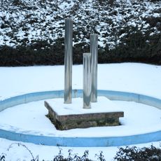
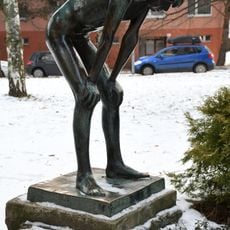
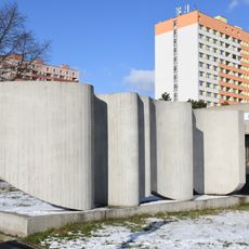
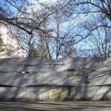
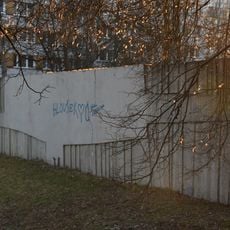
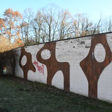
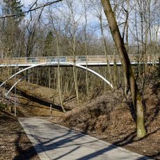
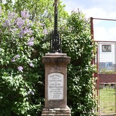
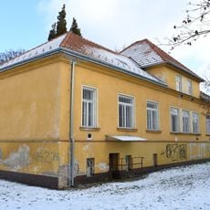
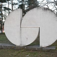
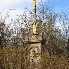
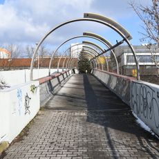
Lesná, neighborhood of Brno-sever
Location: Brno-sever
Inception: 1969
Elevation above the sea: 270 m
GPS coordinates: 49.22861,16.62389
Latest update: March 9, 2025 11:16
Church of Blessed Maria Restituta
344 m
Chapel of Saint Anthony of Padua
825 m
Sports ground TJ Tesla Brno
608 m
Labuť
585 m
Páv
670 m
Květ
611 m
Růst / Volavka
562 m
Pomník spolužákům
352 m
Ptáci
450 m
Fountain, Okružní 3a, Brno
853 m
Děvčátko u tůňky
994 m
Spoje
901 m
Elementary school
975 m
Decorative wall at Brno-Lesná
687 m
Srdce
656 m
Decorative wall
572 m
Decorative wall
469 m
Decorative wall
477 m
Zaječí potok
1 km
Decorative wall
552 m
Footbridge over the Čertova rokle
105 m
Pomník oběti vraždy na Sadové v Brně
1.2 km
Wayside cross (Merhautova, Hořejší, Brno)
1.1 km
Wayside cross in Obřany near Barvy street
845 m
Sládkova 45
885 m
Medvědi / Spojení
378 m
Wayside cross
1.1 km
Černá Pole - Lesná footbridge
832 mReviews
Visited this place? Tap the stars to rate it and share your experience / photos with the community! Try now! You can cancel it anytime.
Discover hidden gems everywhere you go!
From secret cafés to breathtaking viewpoints, skip the crowded tourist spots and find places that match your style. Our app makes it easy with voice search, smart filtering, route optimization, and insider tips from travelers worldwide. Download now for the complete mobile experience.
A unique approach to discovering new places❞
— Le Figaro
All the places worth exploring❞
— France Info
A tailor-made excursion in just a few clicks❞
— 20 Minutes