
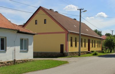
Žofina Huť, village in Jindřichův Hradec District of South Bohemian region
Location: Nová Ves nad Lužnicí
GPS coordinates: 48.80610,14.89720
Latest update: March 2, 2025 20:28

Horní Lužnice
5.6 km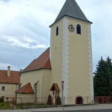
Pfarrkirche Höhenberg
4.3 km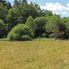
Žofina Huť (natural monument)
1 km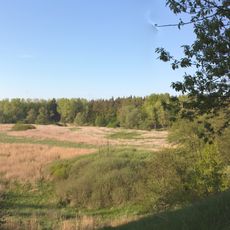
Krabonošská niva
3.5 km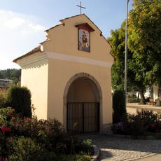
Nepomuk Kapelle Großdietmanns
4.3 km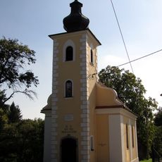
Ortskapelle Reinpolz
5.4 km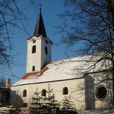
Church of Saint John the Baptist (Krabonoš)
3.7 km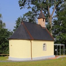
Ortskapelle Breitensee
5.2 km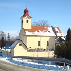
Church of the Assumption
5.2 km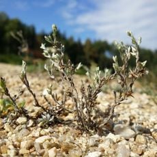
Gmünder Strandbad
5 km
Gridl-Brücke, Breitensee
5.6 km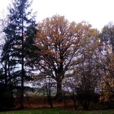
Vyšenský dub
3.1 km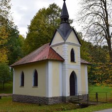
Chapel
4.8 km
Neu Nagelberg railway station building
5.7 km
Fara
5.2 km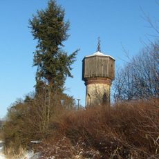
Věžový vodojem
2.7 km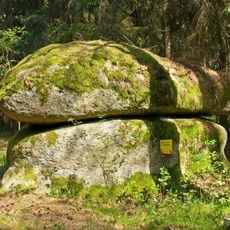
NÖ-Naturdenkmal GD-061 Felsgebilde Kas- und Brotstein
5.6 km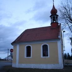
Chapel in Hranice
4.1 km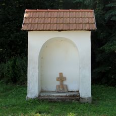
Výklenková kaple v Žofině Huti
398 m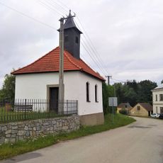
Kaple svaté Anny
2.4 km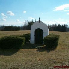
Kaple v Halámkách
5 km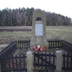
Pomník padlých
3.9 km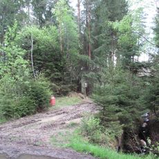
Žofinka
2.1 km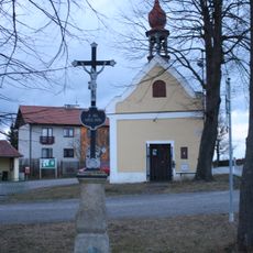
Kříž na návsi
4.1 km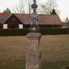
Kříž u čp 37
3.8 km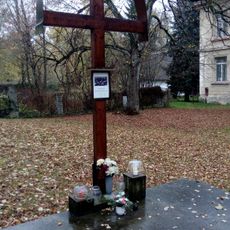
Kříž na místě zničené kaple sv. Jana Křtitele
3.1 km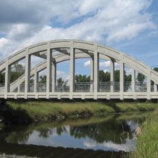
Halamský most
5.1 km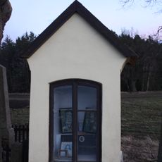
Kaplička u pomníku
3.9 kmReviews
Visited this place? Tap the stars to rate it and share your experience / photos with the community! Try now! You can cancel it anytime.
Discover hidden gems everywhere you go!
From secret cafés to breathtaking viewpoints, skip the crowded tourist spots and find places that match your style. Our app makes it easy with voice search, smart filtering, route optimization, and insider tips from travelers worldwide. Download now for the complete mobile experience.

A unique approach to discovering new places❞
— Le Figaro
All the places worth exploring❞
— France Info
A tailor-made excursion in just a few clicks❞
— 20 Minutes