
Velký Kozí Hřbet, part of Rejštejn in Klatovy District
Location: Rejštejn
Elevation above the sea: 845 m
GPS coordinates: 49.12194,13.52389
Latest update: April 23, 2025 07:02
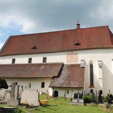
Church of Saint Nicholas
3.1 km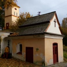
Kaple Panny Marie Klatovské
3 km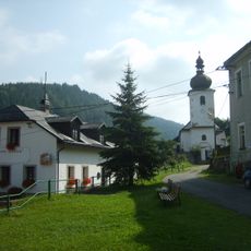
Church of Saint Bartholomew
2.1 km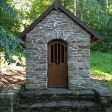
Kaple Panny Marie Pomocné u štol
2.8 km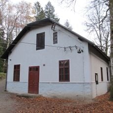
MVE Čeňkova Pila
2.7 km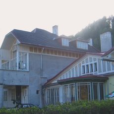
Villa of Maxmilian Spaun
2.5 km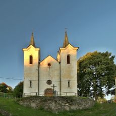
Church of Our Lady of the Snow
3 km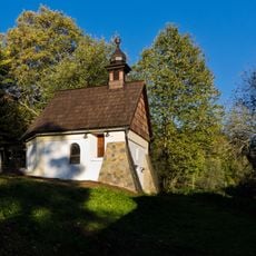
Chapel of Saint Barbara in Podlesí
2.3 km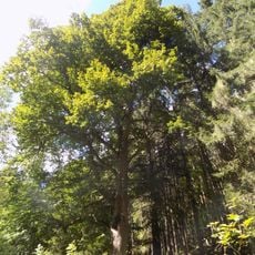
Lípa na Wunderbachu
2.8 km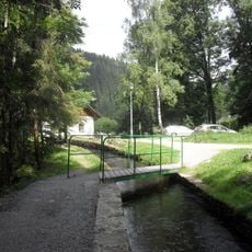
Lávka přes náhon u Čeňkovy pily
2.6 km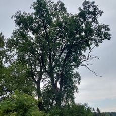
Dub na Kozím Hřbetu
21 m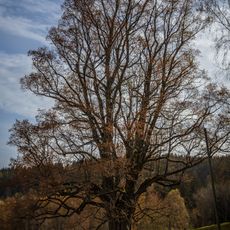
Lípa na Podlesí
2.3 km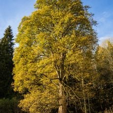
Javor klen na Podlesí
2.4 km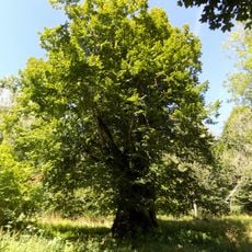
Paštěcká lípa
3.2 km
Lípa na Kozím Hřbetu
38 m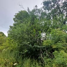
Jilm na Kozím Hřbetu
119 m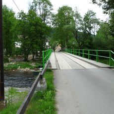
Most přes Otavu v Rejštejně
2.3 km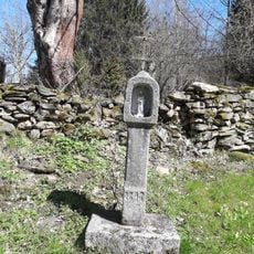
Boží muka
457 m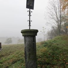
Pranýř
2.8 km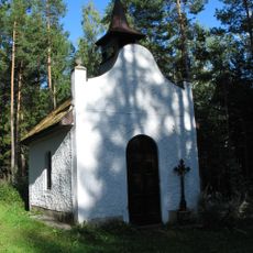
Chapel of Saint Mary of Help
2.7 km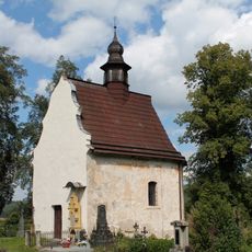
Chapel of Saint Anne
3.1 km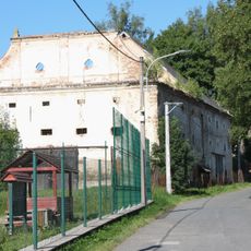
Granary in Kašperské Hory
3.1 km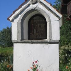
Boží muka
3 km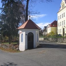
Kaplička U Harantů
3 km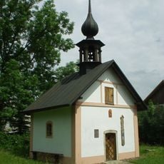
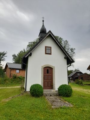
Chapel of Virgin Mary
461 m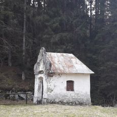
Kaple
3 km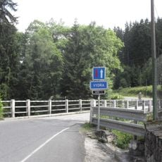
Most přes Vydru u Čeňkovy pily
2.8 km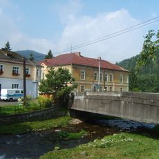
Most Sušické ulice přes Losenici v Rejštejně
2.2 kmVisited this place? Tap the stars to rate it and share your experience / photos with the community! Try now! You can cancel it anytime.
Discover hidden gems everywhere you go!
From secret cafés to breathtaking viewpoints, skip the crowded tourist spots and find places that match your style. Our app makes it easy with voice search, smart filtering, route optimization, and insider tips from travelers worldwide. Download now for the complete mobile experience.

A unique approach to discovering new places❞
— Le Figaro
All the places worth exploring❞
— France Info
A tailor-made excursion in just a few clicks❞
— 20 Minutes