
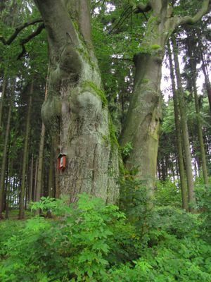
Buk v Boučí, memorable tree in Havlíčkův Brod District, Czech Republic
Location: Čachotín
Height: 27 m
GPS coordinates: 49.69050,15.59030
Latest update: March 6, 2025 21:23
Ronovec
4.6 km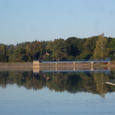
Břevnice Reservoir
5.7 km
Zámek Dolní Krupá
3.4 km
Havranka
5.3 km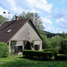
Skořetín
4.1 km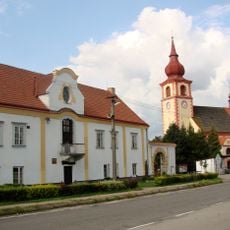
Vlastivědné muzeum Dolní Krupá
3.5 km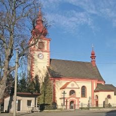
Church of Saint Vitus (Dolní Krupá)
3.4 km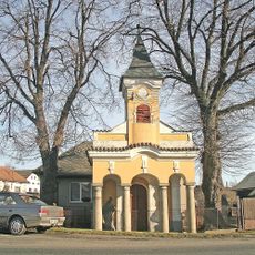
Chapel of Saint John of Nepomuk (Kámen)
5.7 km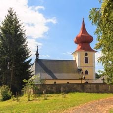
Church of Saint Nicholas
4.2 km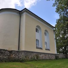
Evangelical church in Horní Krupá
2.1 km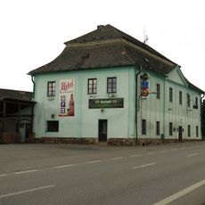
Poštovní stanice Kámen
5.6 km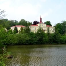
Zámek Rozsochatec
3.5 km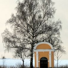
Chapel of Saint Florian
4.3 km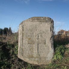
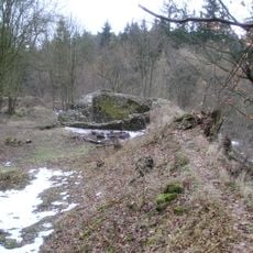
Pamětní kámen
3.6 km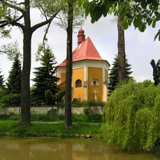
Church of Saint Lawrence
1.4 km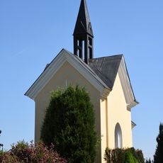
Chapel in Český Dvůr
5.9 km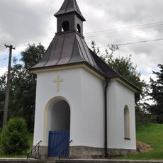
Chapel of Virgin Mary
2.1 km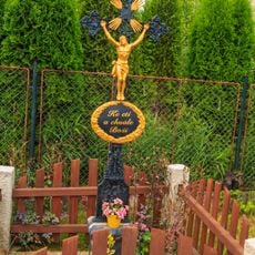
Smírčí kříž
5.8 km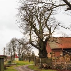
Buk v Radostíně
4.7 km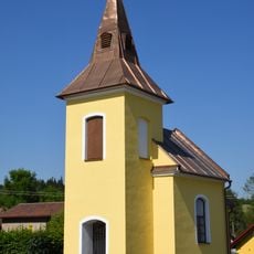
Chapel in Knyk
5 km
Rozcestník Zálesí
1.5 km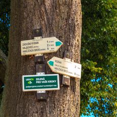
Rozcestník Knyk
5 km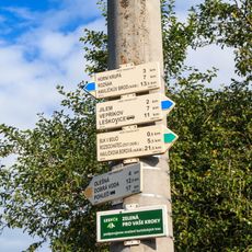
Rozcestník Lysá
458 m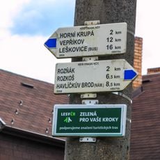
Rozcestník Zbožice
4.3 km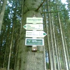
Rozcestník Zádušní rybník
6.3 km
Havranka
5.3 km
Evangelical rectory
1.9 km
Former protestant school
1.9 kmReviews
Visited this place? Tap the stars to rate it and share your experience / photos with the community! Try now! You can cancel it anytime.
Discover hidden gems everywhere you go!
From secret cafés to breathtaking viewpoints, skip the crowded tourist spots and find places that match your style. Our app makes it easy with voice search, smart filtering, route optimization, and insider tips from travelers worldwide. Download now for the complete mobile experience.

A unique approach to discovering new places❞
— Le Figaro
All the places worth exploring❞
— France Info
A tailor-made excursion in just a few clicks❞
— 20 Minutes