
Důl, village in Strakonice District of South Bohemian region
Location: Sedlice
Elevation above the sea: 499 m
GPS coordinates: 49.39670,13.99330
Latest update: March 11, 2025 09:55

Škvořetice
3.4 km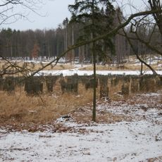
Sedlická obora
3.5 km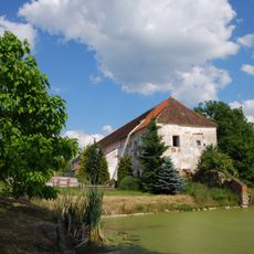
Manor Kožlí u Čížové
3.6 km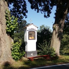
Škvořetice wayside shrine
3.2 km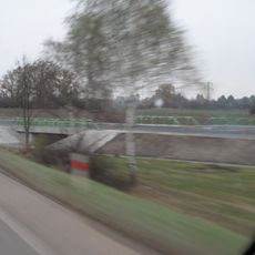
Most silnice I/4 přes cestu Radobytce - Obora u Radobytec
3.7 km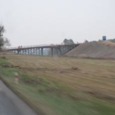
Most přes dálnici D4 severně od Malčic
3.6 km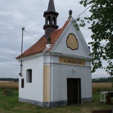
Chapel of Saint Anne
3.4 km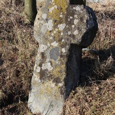
Penitence cross 1875
3.2 km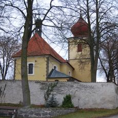
Church of Saint Andrew
3.4 km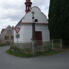
Chapel of Saint John of Nepomuk
1.8 km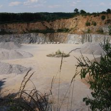
Kamenolom Kožlí
3.3 km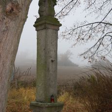
Holy Trinity column in Malčice
3.6 km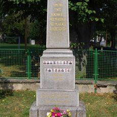
World War I memorial in Škvořetice
3.3 km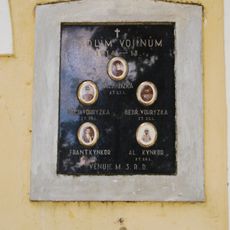
World War I memorial in Bořice
1.9 km
Mohylník
3.8 km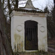
Chapel of Virgin Mary
1.9 km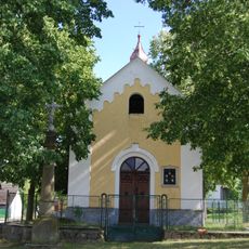
Chapel of Virgin Mary
1.9 km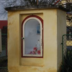
Chapel of Virgin Mary
3.5 km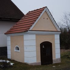
Chapel of Holy Family
3.5 km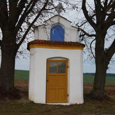
Kaple
3.4 km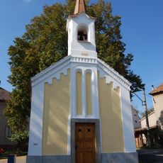
Kaple v Lomu
1.4 km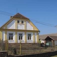
Usedlost čp. 8
3.2 km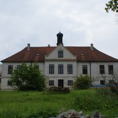
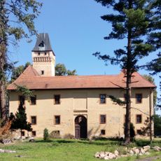
Zámek Strážovice
2.7 km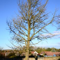
Jinan u Strážovického zámku
2.8 km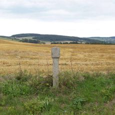
Boží muka jižně od Mirotic
4 km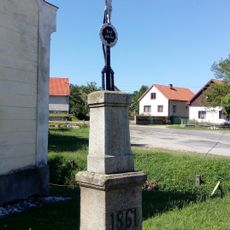
Cross
3.3 km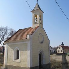
Chapel of Our Lady of Sorrows
3.3 km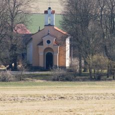
Chapel of Virgin Mary
3.5 kmReviews
Visited this place? Tap the stars to rate it and share your experience / photos with the community! Try now! You can cancel it anytime.
Discover hidden gems everywhere you go!
From secret cafés to breathtaking viewpoints, skip the crowded tourist spots and find places that match your style. Our app makes it easy with voice search, smart filtering, route optimization, and insider tips from travelers worldwide. Download now for the complete mobile experience.

A unique approach to discovering new places❞
— Le Figaro
All the places worth exploring❞
— France Info
A tailor-made excursion in just a few clicks❞
— 20 Minutes