
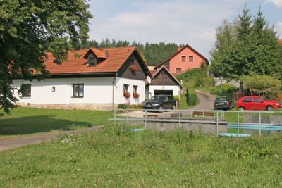
Horní Dehtov, village in Trutnov District of Hradec Králové region
Location: Třebihošť
Elevation above the sea: 460 m
GPS coordinates: 50.42610,15.73190
Latest update: March 19, 2025 19:03
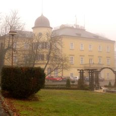
Bílé Poličany
3.9 km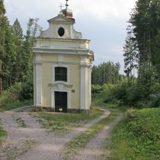
Chapel of Saint John of Nepomuk
3.1 km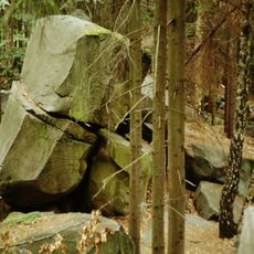
Čertovy hrady (natural monument)
2.2 km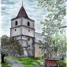
Church of Saint James the Greater (Bílá Třemešná)
2.3 km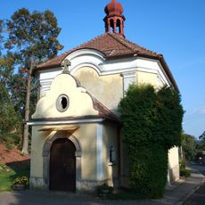
Church of Assumption of the Virgin Mary (Třebihošť)
2.4 km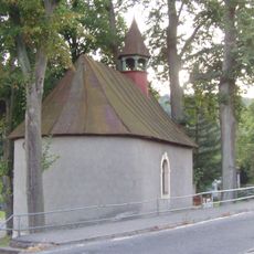
Chapel of Saint John of Nepomuk
3.9 km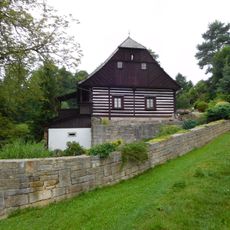
Vodní mlýn
3.6 km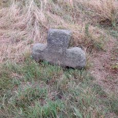
Smírčí kříž
2.7 km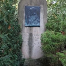
Pomník Jana Amose Komenského
2.1 km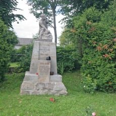
Pomník obětem I. a II. světové války
3.1 km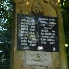
World War I memorial in Třebihošť
1.7 km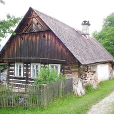
Domy čp. 14 a 77
3.6 km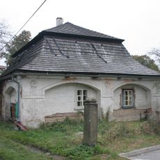
Rectory in Bílá Třemešná
2.2 km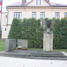
World War I and II memorial in Bílá Třemešná
2.2 km
World War I and II memorial in Horní Dehtov
617 m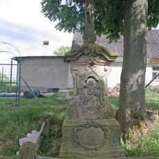
Krucifix
3.6 km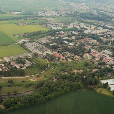
Africké safari Josefa Vágnera
3.9 km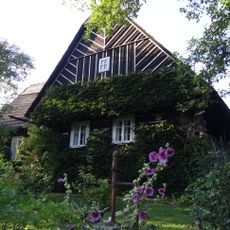
Dům čp. 150
2.3 km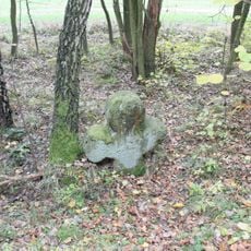
Smírčí kříž
2 km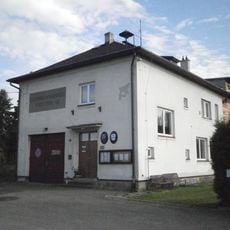
Dolní Brusnice municipal office
3.4 km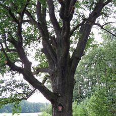
Dub - Quercus Robur
3.3 km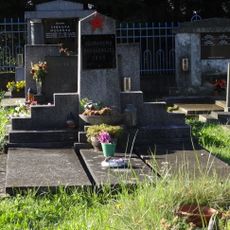
Hrob rudoarmějce
628 m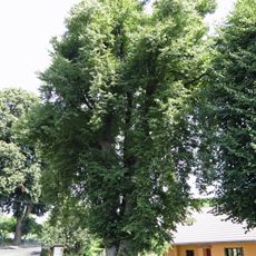
Lípa srdčitá - Tilia cordata
2.1 km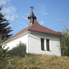
Chapel of Virgin Mary
3.7 km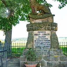
Pomník padlých
4 km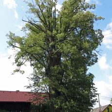
Lípa srdčitá (Tilia cordata)
1.6 km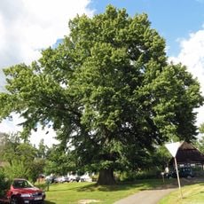
Lípa srdčitá (Tilia cordata)
1.2 km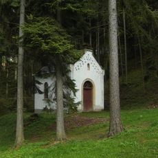
Chapel of Virgin Mary
3 kmReviews
Visited this place? Tap the stars to rate it and share your experience / photos with the community! Try now! You can cancel it anytime.
Discover hidden gems everywhere you go!
From secret cafés to breathtaking viewpoints, skip the crowded tourist spots and find places that match your style. Our app makes it easy with voice search, smart filtering, route optimization, and insider tips from travelers worldwide. Download now for the complete mobile experience.

A unique approach to discovering new places❞
— Le Figaro
All the places worth exploring❞
— France Info
A tailor-made excursion in just a few clicks❞
— 20 Minutes