
Bělá u Malont, village in Český Krumlov District of South Bohemian region
Location: Malonty
Elevation above the sea: 703 m
GPS coordinates: 48.65750,14.58470
Latest update: March 4, 2025 00:26
Pivonické skály
7.4 km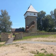
Tichá Castle
4.9 km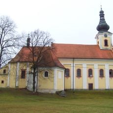
Kirche Maria Schnee (Dolní Dvořiště)
6.8 km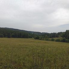
Horní Malše
3.5 km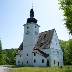
Church of the Nativity of the Virgin Mary (Cetviny)
5.4 km
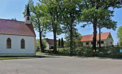
Rectory in Malonty
3.3 km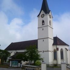
Pfarrkirche Windhaag bei Freistadt
8.1 km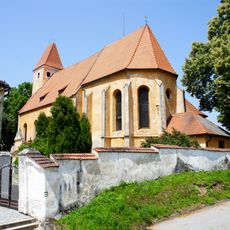
Church of Saint Bartholomew
3.3 km
Myslivna
7.5 km
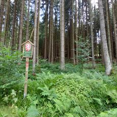
Rapotická březina
3.7 km
Church of Saint Leonard
4.8 km
Freilichtmuseum Hofwieshammer
7.4 km
Church of Our Lady of the Snow (Svatý Kámen)
6.8 km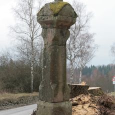
Column shrine in Jaroměř
6 km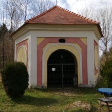
Kaple nad studánkou s křížovou cestou
6.8 km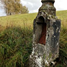
Chapel
4.7 km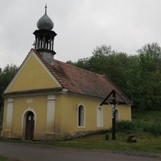
Chapel of the Good Shepherd
6.7 km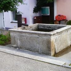
Brunnen
8.1 km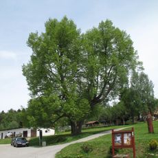
Lípa malolistá
4.9 km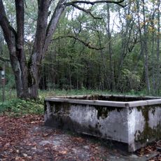
Water tank
5.4 km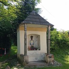
Výklenková kaplička
84 m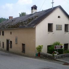
Altes Schulhaus, Ehem. Bruckner-Schule
8 km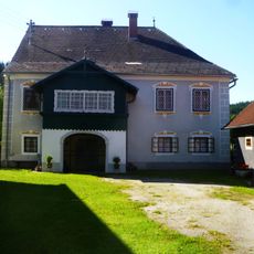
Gewerkenhaus und Pferdestall, Rößlhammer
5.7 km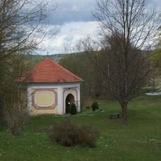
Studniční kaple poblíž poutního kostela Panny Marie Sněžné v lokalitě Svatý Kámen
6.8 km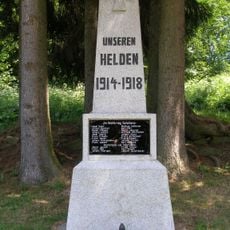
Pomník v Kuří
6.7 km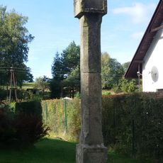
Boží muka v Kuří
6.6 km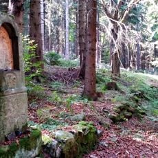
Boží muka v zaniklé Klepné
6.7 km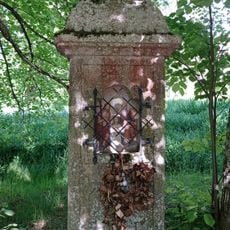
Chapel with a niche and a cross in Radčice
3.5 kmReviews
Visited this place? Tap the stars to rate it and share your experience / photos with the community! Try now! You can cancel it anytime.
Discover hidden gems everywhere you go!
From secret cafés to breathtaking viewpoints, skip the crowded tourist spots and find places that match your style. Our app makes it easy with voice search, smart filtering, route optimization, and insider tips from travelers worldwide. Download now for the complete mobile experience.

A unique approach to discovering new places❞
— Le Figaro
All the places worth exploring❞
— France Info
A tailor-made excursion in just a few clicks❞
— 20 Minutes