
Kloub, village in Strakonice District of South Bohemian region
Location: Pohorovice
Elevation above the sea: 410 m
GPS coordinates: 49.18870,14.14130
Latest update: March 26, 2025 11:16

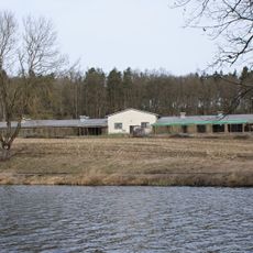
Radany Pheasantry
2.8 km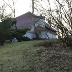
Božejovice Tvrz
2.6 km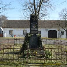
World War I memorial in Skály
3.9 km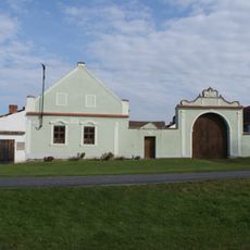
Venkovská usedlost
3.2 km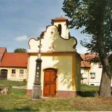
Chapel of Virgin Mary
39 m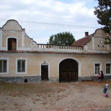
Venkovská usedlost čp. 5
4 km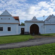
Venkovská usedlost
3.2 km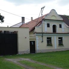
Usedlost čp. 9
1.6 km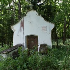
Saint Vitus chapel Skály-Budičovice
2.1 km
Usedlost čp. 23
2.8 km
Venkovská usedlost
3.2 km
Usedlost čp. 3
73 m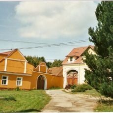
Usedlost čp. 12
85 m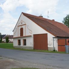
Usedlost čp. 37
1.6 km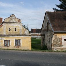
Usedlost čp. 14
1.5 km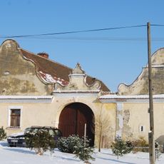
Usedlost čp. 20
25 m
Usedlost čp. 7
1.6 km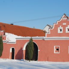
Usedlost čp. 22
2.8 km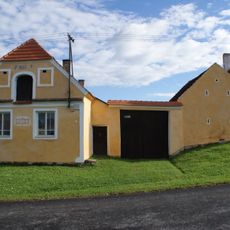
Venkovská usedlost
3.2 km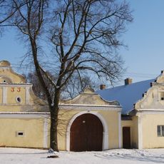
Venkovská usedlost
3.9 km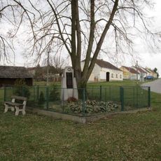
Pomník padlým ve Skalách
3.7 km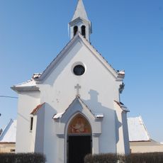
Chapel of Saint Wenceslaus
2.7 km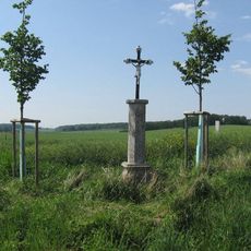
Boží muka u silnice Protivín - Chvaletice
4 km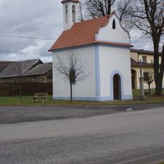
Chapel of Our Lady of Help
3.9 km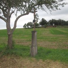
Kříž východně od Lidmovic
1.5 km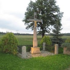
Kříž západně od Lidmovic
1.7 km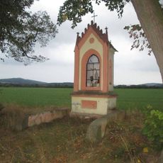
Kaplička jižně od Křtětic
2.3 km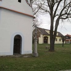
Kříž u kaple ve Skalách
3.9 kmReviews
Visited this place? Tap the stars to rate it and share your experience / photos with the community! Try now! You can cancel it anytime.
Discover hidden gems everywhere you go!
From secret cafés to breathtaking viewpoints, skip the crowded tourist spots and find places that match your style. Our app makes it easy with voice search, smart filtering, route optimization, and insider tips from travelers worldwide. Download now for the complete mobile experience.

A unique approach to discovering new places❞
— Le Figaro
All the places worth exploring❞
— France Info
A tailor-made excursion in just a few clicks❞
— 20 Minutes