
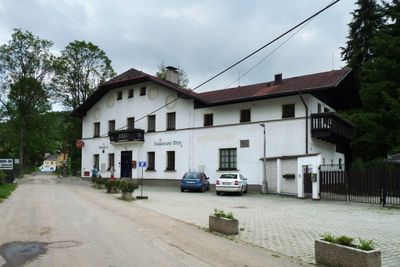
Klášterský Mlýn, part of Rejštejn in Klatovy District
Location: Rejštejn
Elevation above the sea: 563 m
GPS coordinates: 49.14333,13.51250
Latest update: March 13, 2025 06:46
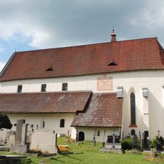
Church of Saint Nicholas
1.8 km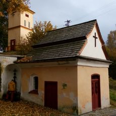
Kaple Panny Marie Klatovské
2.9 km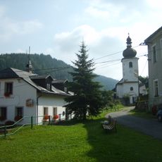
Church of Saint Bartholomew
445 m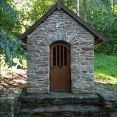
Kaple Panny Marie Pomocné u štol
2.7 km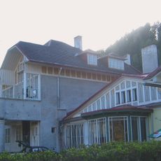
Villa of Maxmilian Spaun
28 m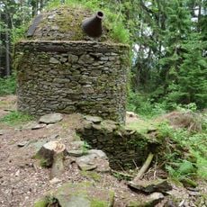
Radkovská pec
1.8 km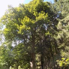
Lípa na Wunderbachu
2.2 km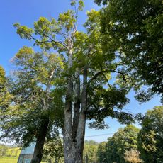
Vatětický klen
2.8 km
Lípa ve Vatětické aleji
2.5 km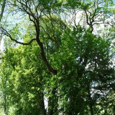
Vatětický jasan
2.9 km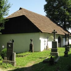
Ossuary in Mouřenec u Annína
2.8 km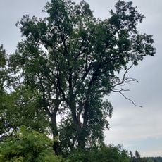
Dub na Kozím Hřbetu
2.5 km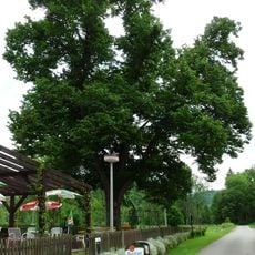
Radešovská lípa
1.2 km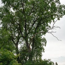
Lípa na Kozím Hřbetu
2.5 km
Jilm na Kozím Hřbetu
2.6 km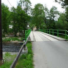
Most přes Otavu v Rejštejně
230 m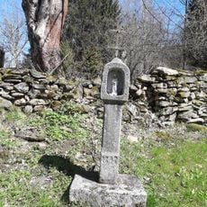
Boží muka
2.9 km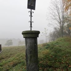
Pranýř
2.7 km
Dvě kaple a pamětní kříž
2 km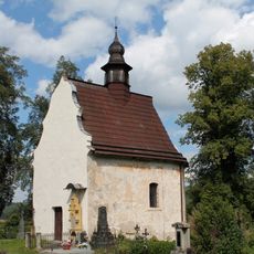
Chapel of Saint Anne
1.8 km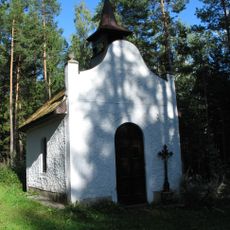
Chapel of Saint Mary of Help
661 m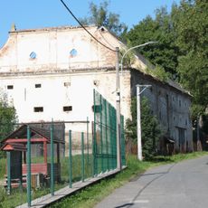
Granary in Kašperské Hory
2.7 km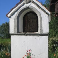
Boží muka
2.6 km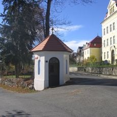
Kaplička U Harantů
1.8 km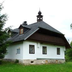
Dům če. 2
1.4 km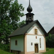
Chapel of Virgin Mary
2.8 km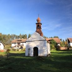
Kaple v Opolenci
2 km
Most Sušické ulice přes Losenici v Rejštejně
330 mReviews
Visited this place? Tap the stars to rate it and share your experience / photos with the community! Try now! You can cancel it anytime.
Discover hidden gems everywhere you go!
From secret cafés to breathtaking viewpoints, skip the crowded tourist spots and find places that match your style. Our app makes it easy with voice search, smart filtering, route optimization, and insider tips from travelers worldwide. Download now for the complete mobile experience.

A unique approach to discovering new places❞
— Le Figaro
All the places worth exploring❞
— France Info
A tailor-made excursion in just a few clicks❞
— 20 Minutes