
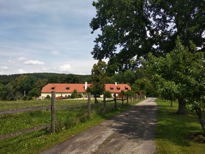
Jedraž, village in Strakonice District of South Bohemian region
Location: Radošovice
Elevation above the sea: 470 m
GPS coordinates: 49.20170,13.93170
Latest update: March 10, 2025 13:14
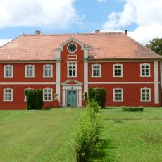
Hoštice Castle
1.9 km
Hradec u Nemětic
3.5 km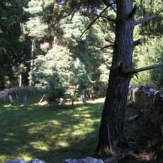
Jewish cemetery in Hoštice
2.3 km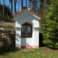
Stations of the Cross in Milejovice
2.5 km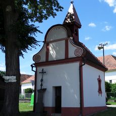
Chapel of Saint Wenceslaus
2 km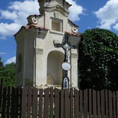
Kaplička
3 km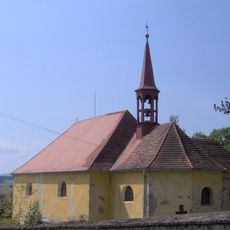
Church of the Nativity of the Virgin Mary
1.9 km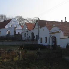
Usedlost čp. 11
3.5 km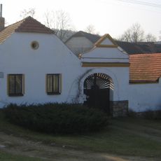
Usedlost čp. 9
3.6 km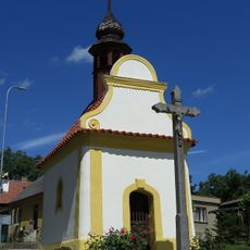
Kaplička
2.9 km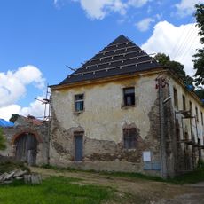
Rectory and school in Hoštice
1.8 km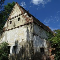
Sýpka
2.9 km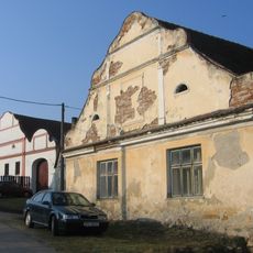
Usedlost čp. 1
3.7 km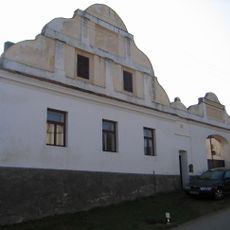
Usedlost čp. 5
3.7 km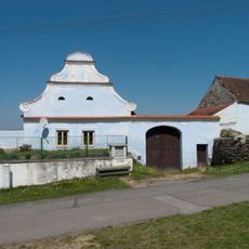
Usedlost čp. 18
3.1 km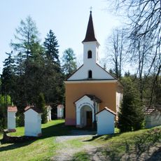
Kostel Královny Nebeské Nejblahoslavenější Panny Marie
2.6 km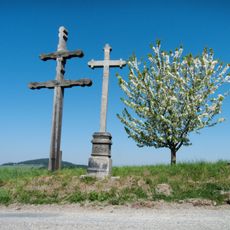
Ruský kříž
1.8 km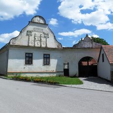
Bývalá hospoda
2.9 km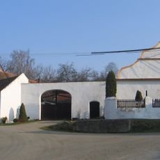
Usedlost čp. 13
3.5 km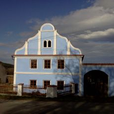
Usedlost čp. 17 (Strunkovice nad Volyňkou)
3.2 km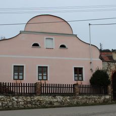
Usedlost čp. 12
1.8 km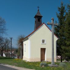
Chapel of Virgin Mary
1.5 km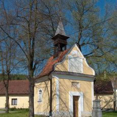
Chapel of Saint John of Nepomuk
2.7 km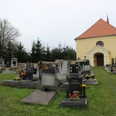
Cemetery in Hoštice
1.9 km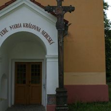
Dobrá voda
2.6 km
Kamenný mlýn
3.5 km
Most přes Volyňku v Předních Zborovicích
3.6 km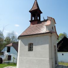
Kaple v Předních Zborovicích na návsi
3.5 kmReviews
Visited this place? Tap the stars to rate it and share your experience / photos with the community! Try now! You can cancel it anytime.
Discover hidden gems everywhere you go!
From secret cafés to breathtaking viewpoints, skip the crowded tourist spots and find places that match your style. Our app makes it easy with voice search, smart filtering, route optimization, and insider tips from travelers worldwide. Download now for the complete mobile experience.

A unique approach to discovering new places❞
— Le Figaro
All the places worth exploring❞
— France Info
A tailor-made excursion in just a few clicks❞
— 20 Minutes