
Hoštice, village of Nemyšl municipality in Tábor District of South Bohemian Region
Location: Nemyšl
Elevation above the sea: 523 m
GPS coordinates: 49.52670,14.68420
Latest update: March 8, 2025 09:43
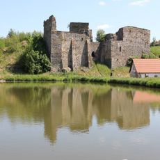
Starý Zámek
5 km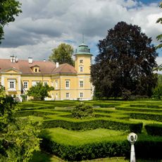
Chotoviny Castle
5.3 km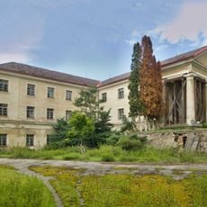
Nemyšl Castle
1.6 km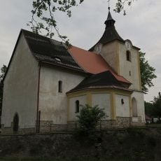
Church of Saint Catherine
4.9 km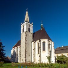
Church of the Nativity of the Virgin Mary
5.3 km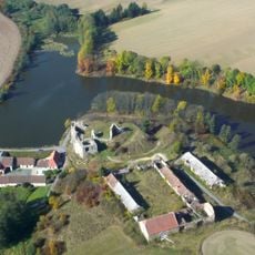
Dvůr Starý zámek
5 km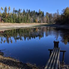
Suchdolský rybník
3.9 km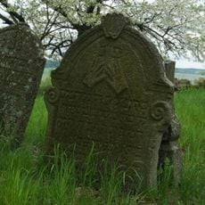
Jewish cemetery in Prudice
2 km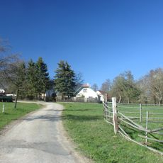
Kahlovická Lhota
4.6 km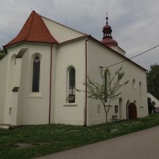
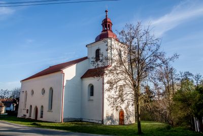
Church of the Immaculate Conception
80 m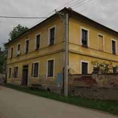
Bývalá fara
122 m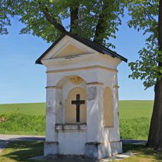
Výklenková kaplička
4 km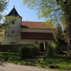
Church of Saint Gall in Střezimíř
5.3 km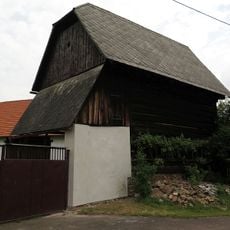
Špýchar usedlosti čp. 4
1.5 km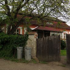
Usedlost - zámeček čp. 14
1.5 km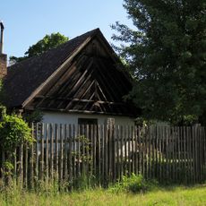
Usedlost čp. 12
5.3 km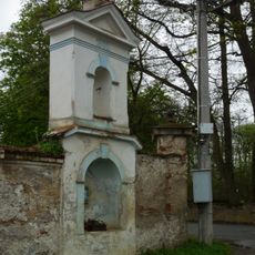
Výklenková kaplička se zvoničkou v ohradní zdi zámeckého pivovaru
1.6 km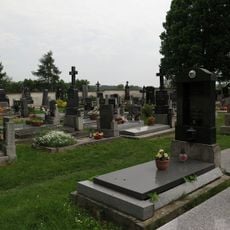
Hřbitov s kaplí
296 m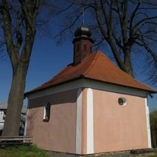
Chapel of Saint Adalbert
5.1 km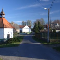
Chapel of Saint John of Nepomuk in Horní Střítež
3 km
Bridge of D3 highway near Moraveč
5.2 km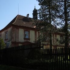
Střezimíř Castle
5.2 km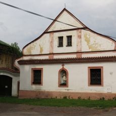
Fara
4.9 km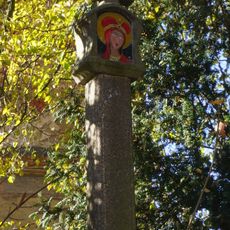
Boží muka - kamenný sloupek
2.8 km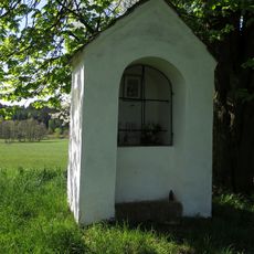
Chapel of Saint John of Nepomuk
5.3 km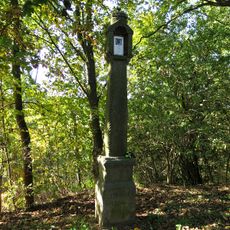
Boží muka
960 m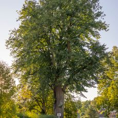
Lípa ve Střezimíři
5.3 km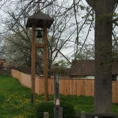
Zvonička v Prudicích
1.5 kmReviews
Visited this place? Tap the stars to rate it and share your experience / photos with the community! Try now! You can cancel it anytime.
Discover hidden gems everywhere you go!
From secret cafés to breathtaking viewpoints, skip the crowded tourist spots and find places that match your style. Our app makes it easy with voice search, smart filtering, route optimization, and insider tips from travelers worldwide. Download now for the complete mobile experience.

A unique approach to discovering new places❞
— Le Figaro
All the places worth exploring❞
— France Info
A tailor-made excursion in just a few clicks❞
— 20 Minutes