
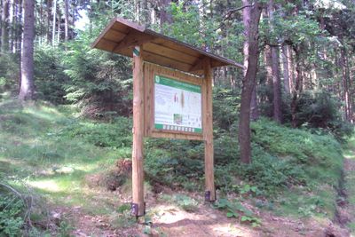
LNS Sokol, naučná stezka v Česku
Location: Jablonné v Podještědí
GPS coordinates: 50.81040,14.75090
Latest update: March 12, 2025 12:32

Highwood
2.2 km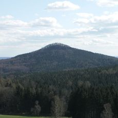
Falkenberg
332 m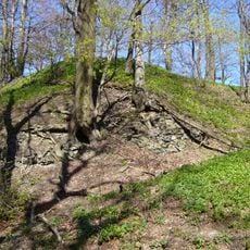
Falkenberk
340 m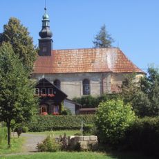
Church of Holy Trinity
1.2 km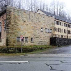
Niederaue 30
2 km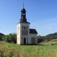
Chapel
1.3 km
Petrovice 169
1.2 km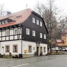
Gabler Straße 8
2.1 km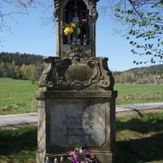
Column shrine in Petrovice
1.7 km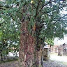
Taxus near Gabler Straße 9
2.2 km
Gabler Straße 10
2 km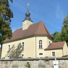
Church building Lückendorf
2.1 km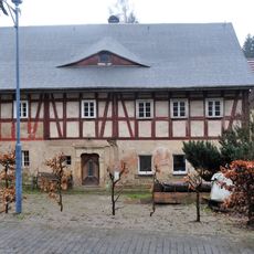
Gabler Straße 7
2.2 km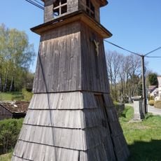
Dřevěná zvonice
1.2 km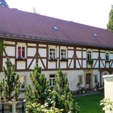
Gabler Straße 11
2.1 km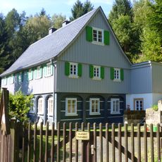
Gabler Straße 12
1.9 km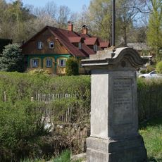
Palmeho kříž
1.2 km
Petrovice 138
1.2 km
Gabler Straße 5
2.2 km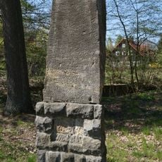
Pomník obětem 1. světové války
1.1 km
Gabler Straße 13
2 km
Oberaue 12
2.2 km
Oberaue 14a
2.1 km
Oberaue 31
2.1 km
Oberaue 14
2.2 km
Petrovice 136
1.2 km
Wall painting Gabler Straße 9
2.2 km
Niederaue 5
2.2 kmReviews
Visited this place? Tap the stars to rate it and share your experience / photos with the community! Try now! You can cancel it anytime.
Discover hidden gems everywhere you go!
From secret cafés to breathtaking viewpoints, skip the crowded tourist spots and find places that match your style. Our app makes it easy with voice search, smart filtering, route optimization, and insider tips from travelers worldwide. Download now for the complete mobile experience.

A unique approach to discovering new places❞
— Le Figaro
All the places worth exploring❞
— France Info
A tailor-made excursion in just a few clicks❞
— 20 Minutes