
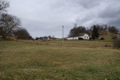
Libějovické Svobodné Hory, village in Strakonice District, South Bohemian Region, Czechia
Location: Stožice
Elevation above the sea: 545 m
GPS coordinates: 49.11470,14.12640
Latest update: March 14, 2025 19:21
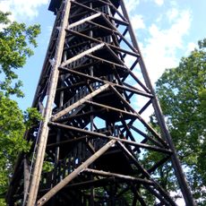
Haniperk
1.2 km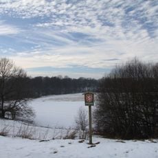
Bavorská stráň
2.4 km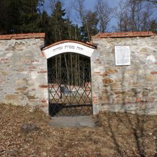
Jewish cemetery in Vodňany
2.9 km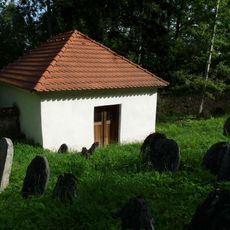
Jewish cemetery in Čichtice
3.3 km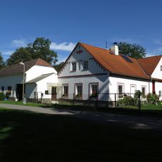
Ducháčův mlýn
2.8 km
Lípa malolistá
2.2 km
Socha svatého Jana Nepomuckého
3.2 km
Monument of Petr Chelčický
3.1 km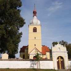
Church of Saint Martin
3.3 km
Socha Panny Marie
3.3 km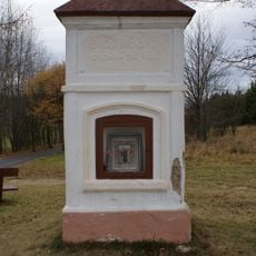
Chapel of Saint Mary Magdalene
2.3 km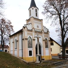
Kaple sv. Šimona a Judy
2.6 km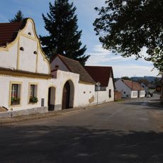
Usedlost čp. 37
3.2 km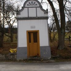
Chapel of Virgin Mary
1.9 km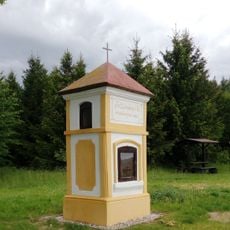
Chapel of Saint Leonard
1.8 km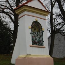
Chapel of Saint John of Nepomuk
2.7 km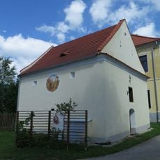
Sýpka u čp. 1
3.3 km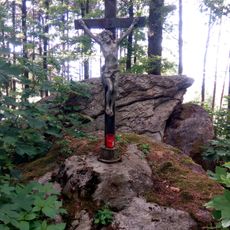
Wayside cross
1.3 km
Židovský dům čp. 92
3.4 km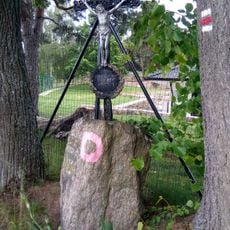
Wayside cross
1.8 km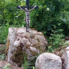
Wayside cross
1.3 km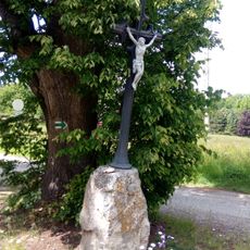
Wayside cross
211 m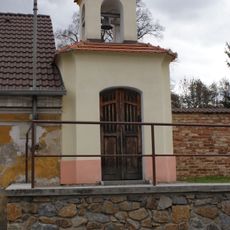
Chapel of Saint John of Nepomuk
1.4 km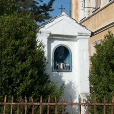
Chapel of Saint John of Nepomuk
3.2 km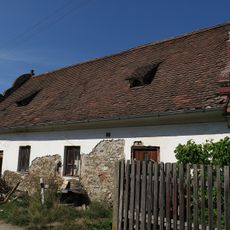
Židovský dům čp. 75
3.1 km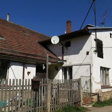
Židovský dům čp. 71
3.1 km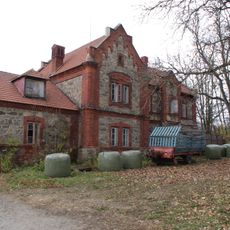
Zemědělský dvůr Jarov
779 m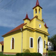
Chapel of Virgin Mary
3.3 kmReviews
Visited this place? Tap the stars to rate it and share your experience / photos with the community! Try now! You can cancel it anytime.
Discover hidden gems everywhere you go!
From secret cafés to breathtaking viewpoints, skip the crowded tourist spots and find places that match your style. Our app makes it easy with voice search, smart filtering, route optimization, and insider tips from travelers worldwide. Download now for the complete mobile experience.

A unique approach to discovering new places❞
— Le Figaro
All the places worth exploring❞
— France Info
A tailor-made excursion in just a few clicks❞
— 20 Minutes