
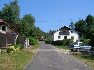
Lužnice, neighborhood of Pohorská Ves
Location: Pohorská Ves
Elevation above the sea: 783 m
GPS coordinates: 48.68390,14.64250
Latest update: April 2, 2025 05:47
Pivonické skály
3.9 km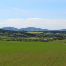
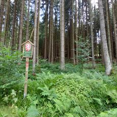
Přírodní park Novohradské hory
2.4 km
Rectory in Malonty
4.8 km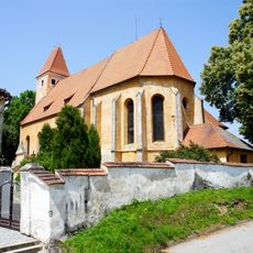
Church of Saint Bartholomew
4.8 km
Rapotická březina
2.2 km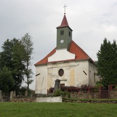
Church of Saint Leonard
1.6 km
Vodní mlýn čp. 35
4.5 km
Dům čp. 98
5.2 km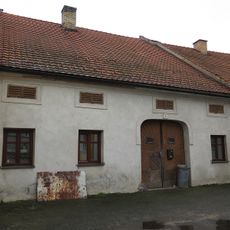
Dům čp. 94
5.2 km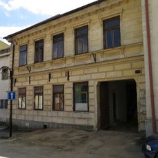
Dům čp. 90
5.2 km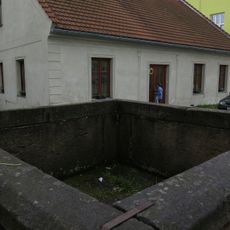
Kašna
5.2 km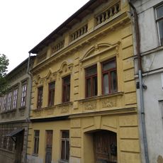
Dům čp. 75
5.2 km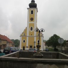
Lower Fountain
5.2 km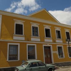
Dům čp. 93
5.2 km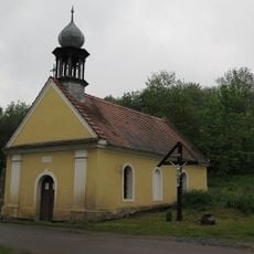
Chapel of the Good Shepherd
3.4 km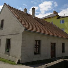
Dům čp. 99
5.2 km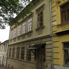
Dům čp. 74
5.2 km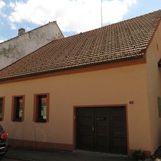
Dům čp. 92
5.2 km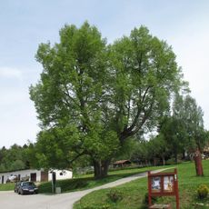
Lípa malolistá
1.6 km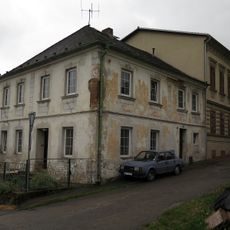
Dům čp. 72
5.2 km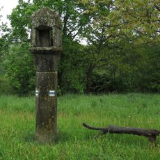
Boží muka
4.4 km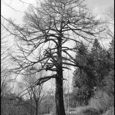
Modřín opadavý
3.9 km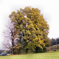
Lípa v Černém údolí
2.9 km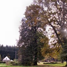
Dub v Černém Údolí
2.8 km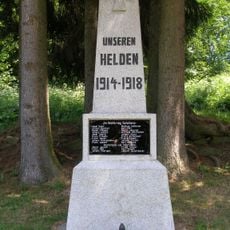
Pomník v Kuří
3.5 km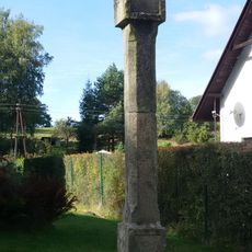
Boží muka v Kuří
3.3 km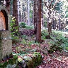
Boží muka v zaniklé Klepné
2 km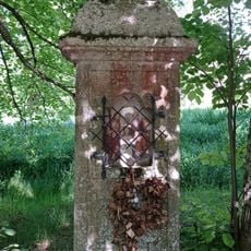
Chapel with a niche and a cross in Radčice
2.4 kmVisited this place? Tap the stars to rate it and share your experience / photos with the community! Try now! You can cancel it anytime.
Discover hidden gems everywhere you go!
From secret cafés to breathtaking viewpoints, skip the crowded tourist spots and find places that match your style. Our app makes it easy with voice search, smart filtering, route optimization, and insider tips from travelers worldwide. Download now for the complete mobile experience.

A unique approach to discovering new places❞
— Le Figaro
All the places worth exploring❞
— France Info
A tailor-made excursion in just a few clicks❞
— 20 Minutes