
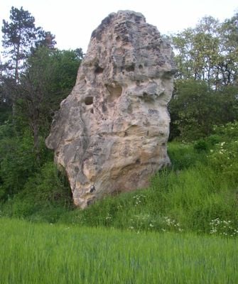
Podlešínská skalní jehla, protected area in Czech Republic
Location: Podlešín
Inception: January 15, 1987
GPS coordinates: 50.21880,14.16570
Latest update: April 1, 2025 16:24
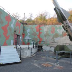
Bunker Drnov - Cold War and Air Defence Museum
1.2 km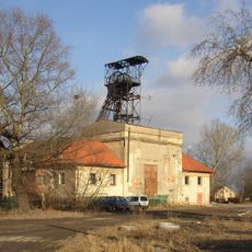
Michael Mine (Brandýsek)
3.8 km
Railway viaduct in Podlešín
932 m
Zvoleněves Chateau
1.8 km
Lípa malolistá v Želenicích
793 m
Blahotice Castle
3.8 km
Lípa velkolistá v Želenicích
865 m
Jasan v Třebusicích
2.4 km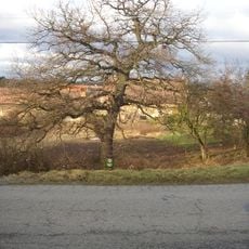
Dub v Želenicích
1 km
Dub letní (Podlešín)
513 m
Lípa malolistá
569 m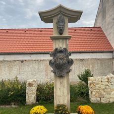
Monument to Saint Procopius in Žižice
3.2 km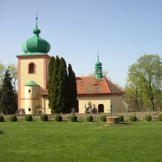
All Saints church (Knovíz)
2.4 km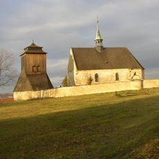
Saint James the Greater Church
946 m
Křížový kámen
3 km
Church of Saint Martin
1.8 km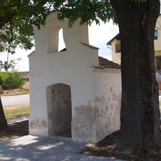
Kaplička
3.8 km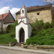
Kaple
3.6 km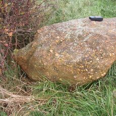
Menhir
3.5 km
Pomník padlým rudoarmějcům u kostela v Zvoleněvsi
1.7 km
Chapel of Our Lady and Saint Christopher
3.8 km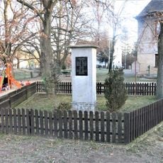
Pomník padlým v Podlešíně
488 m
Fara
1.7 km
Kříž u silnice severně od Zvoleněvsi
2.6 km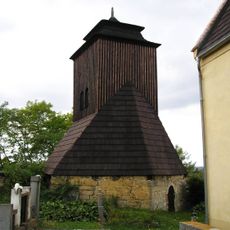
Zvonice v Želenicích u Kladna
966 m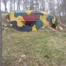
Objekt IX.b/43/A
3 km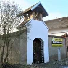
Kaplička u domu 9 v Podlešíně
630 m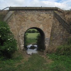
Železniční most východně od Podlešína v lokalitě U rybníčka
921 mReviews
Visited this place? Tap the stars to rate it and share your experience / photos with the community! Try now! You can cancel it anytime.
Discover hidden gems everywhere you go!
From secret cafés to breathtaking viewpoints, skip the crowded tourist spots and find places that match your style. Our app makes it easy with voice search, smart filtering, route optimization, and insider tips from travelers worldwide. Download now for the complete mobile experience.

A unique approach to discovering new places❞
— Le Figaro
All the places worth exploring❞
— France Info
A tailor-made excursion in just a few clicks❞
— 20 Minutes