
Obora, village in Prachatice District of South Bohemian region
Location: Hracholusky
Elevation above the sea: 546 m
GPS coordinates: 49.05060,14.12330
Latest update: March 3, 2025 04:23

Kratochvíle
3.4 km
Vodní mlýn
3.3 km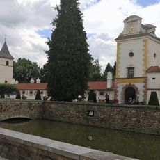
Most ke vstupní bráně zámku Kratochvíle
3.4 km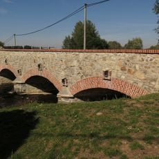
Kamenný most přes Zlatý potok v Protivci
4 km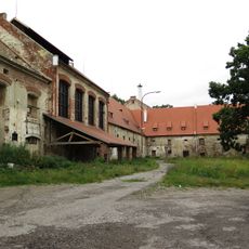
Petrův Dvůr
4.1 km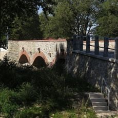
Inundační cihelný most v Protivci
4.1 km
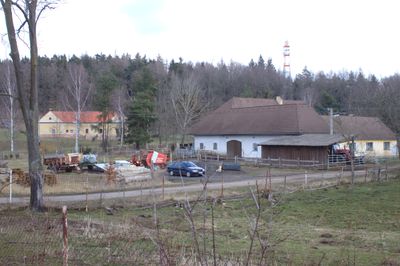
Usedlost čp. 56
2.6 km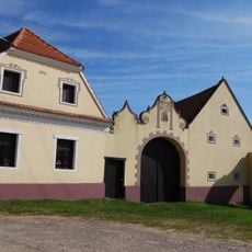
Usedlost čp. 31
2.6 km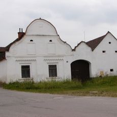
Usedlost čp. 55
2.7 km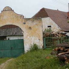
Usedlost čp. 32
2.6 km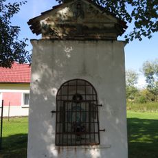
Chapel of Saint Leonard
4.1 km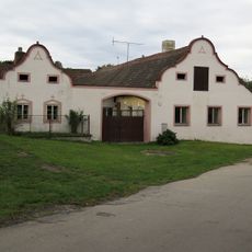
Usedlost čp. 59
2.7 km
Usedlost čp. 19
2.8 km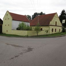
Usedlost čp. 54
2.6 km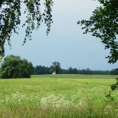
Chapel of Virgin Mary
4.4 km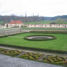
Kašna s fontánou na zámku Kratochvíle
3.4 km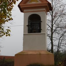
Kaplička u Krtel
5.2 km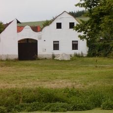
Usedlost čp. 20
2.8 km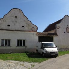
Sýpka u čp. 29
3.9 km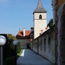
Church of the Nativity of the Virgin Mary
3.4 km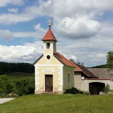
Chapel
3.8 km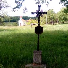
Wayside cross
3.8 km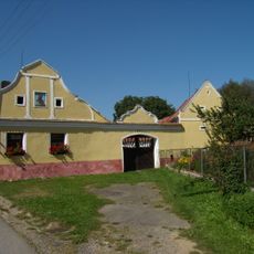
Usedlost čp. 1
1.3 km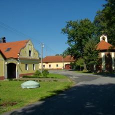
Usedlost čp. 18
1.4 km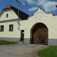
Usedlost čp. 26
5.1 km
Most k zámku Kratochvíle
3.4 km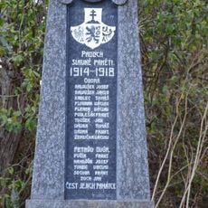
Pomník padlým v Oboře u Hracholusk
67 m
Vodní příkop zámku Kratochvíle
3.5 kmReviews
Visited this place? Tap the stars to rate it and share your experience / photos with the community! Try now! You can cancel it anytime.
Discover hidden gems everywhere you go!
From secret cafés to breathtaking viewpoints, skip the crowded tourist spots and find places that match your style. Our app makes it easy with voice search, smart filtering, route optimization, and insider tips from travelers worldwide. Download now for the complete mobile experience.

A unique approach to discovering new places❞
— Le Figaro
All the places worth exploring❞
— France Info
A tailor-made excursion in just a few clicks❞
— 20 Minutes