
Stará Ves, village in Ostrava-město District of Moravian Silesian region
Location: Stará Ves nad Ondřejnicí
GPS coordinates: 49.72080,18.20190
Latest update: March 9, 2025 16:54
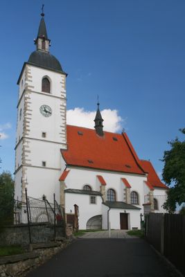
Church of Saint George
2.9 km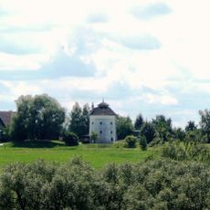
Windmill in Brušperk
2.9 km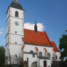
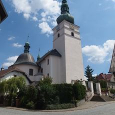
Church of Saint John the Baptist
1.5 km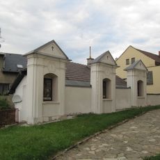
Křížová cesta
2.9 km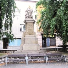
Socha Boha Otce
2.8 km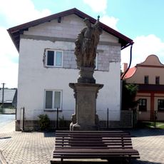
Socha svatého Floriána
2.7 km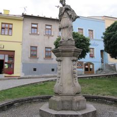
Socha svatého Jana Nepomuckého
2.8 km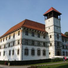
Zámek Stará Ves nad Ondřejnicí
1.3 km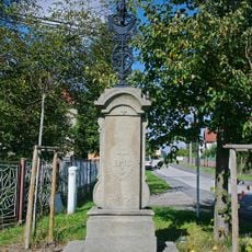
Brožův kříž
2.3 km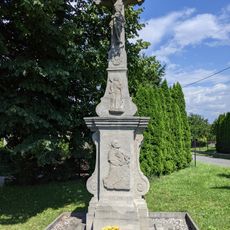
Krucifix
3.4 km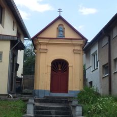
Kaple svatého Spasitele
3.2 km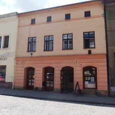
Dům čp. 17
2.8 km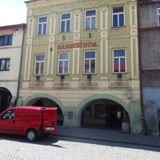
Dům čp. 9
2.9 km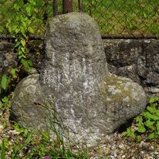
Smírčí kříž
2.2 km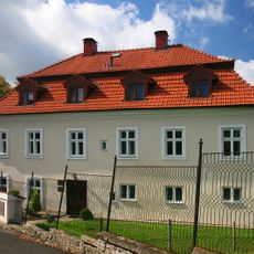
Fara (Stará Ves nad Ondřejnicí)
1.5 km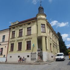
Dům čp. 41
2.9 km
Dům čp. 13
2.9 km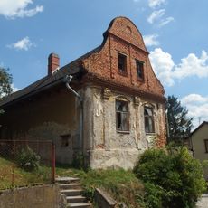
Dům čp. 58
3 km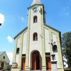
Church of Saints John and Paul
2.6 km
Dům čp. 39
2.9 km
Dům čp. 30
2.8 km
Dům čp. 487
2.8 km
Dům čp. 14
2.8 km
Dům čp. 10
2.9 km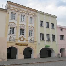
Dům čp. 12
2.9 km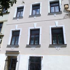
Dům čp. 32
2.8 km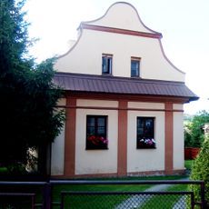
Dům čp. 245
2.7 km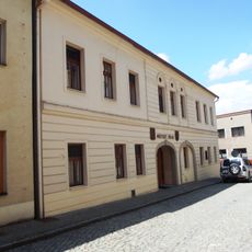
Town hall in Brušperk
2.8 kmVisited this place? Tap the stars to rate it and share your experience / photos with the community! Try now! You can cancel it anytime.
Discover hidden gems everywhere you go!
From secret cafés to breathtaking viewpoints, skip the crowded tourist spots and find places that match your style. Our app makes it easy with voice search, smart filtering, route optimization, and insider tips from travelers worldwide. Download now for the complete mobile experience.

A unique approach to discovering new places❞
— Le Figaro
All the places worth exploring❞
— France Info
A tailor-made excursion in just a few clicks❞
— 20 Minutes